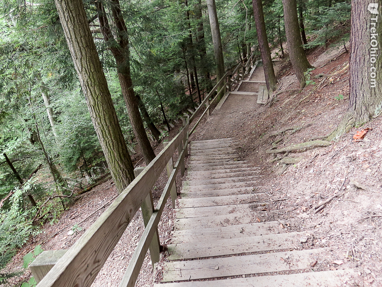
Hell Hollow Wilderness Area is one of the sites owned and operated by the Lake County park district (Lake Metroparks). It is 783 acres in size, with a total trail length of just 0.65 miles. However, it is nonetheless a strenuous hike due to the 262-step stairway that leads to the base of the ravine in Hell Hollow. On the return-trip that’s an impressive number of steps to climb. Hell Hollow got its name because of how challenging it is to climb out of the ravine. Another Lake County park, Penitentiary Glen, also received its name because of how difficult it is to leave its ravine.
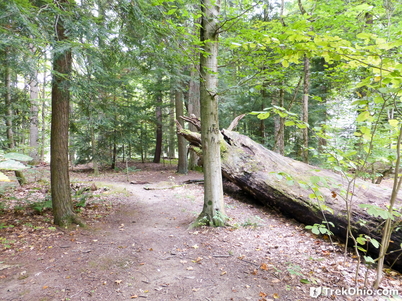
Area near the Parking Lot
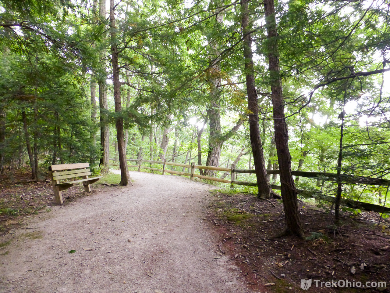
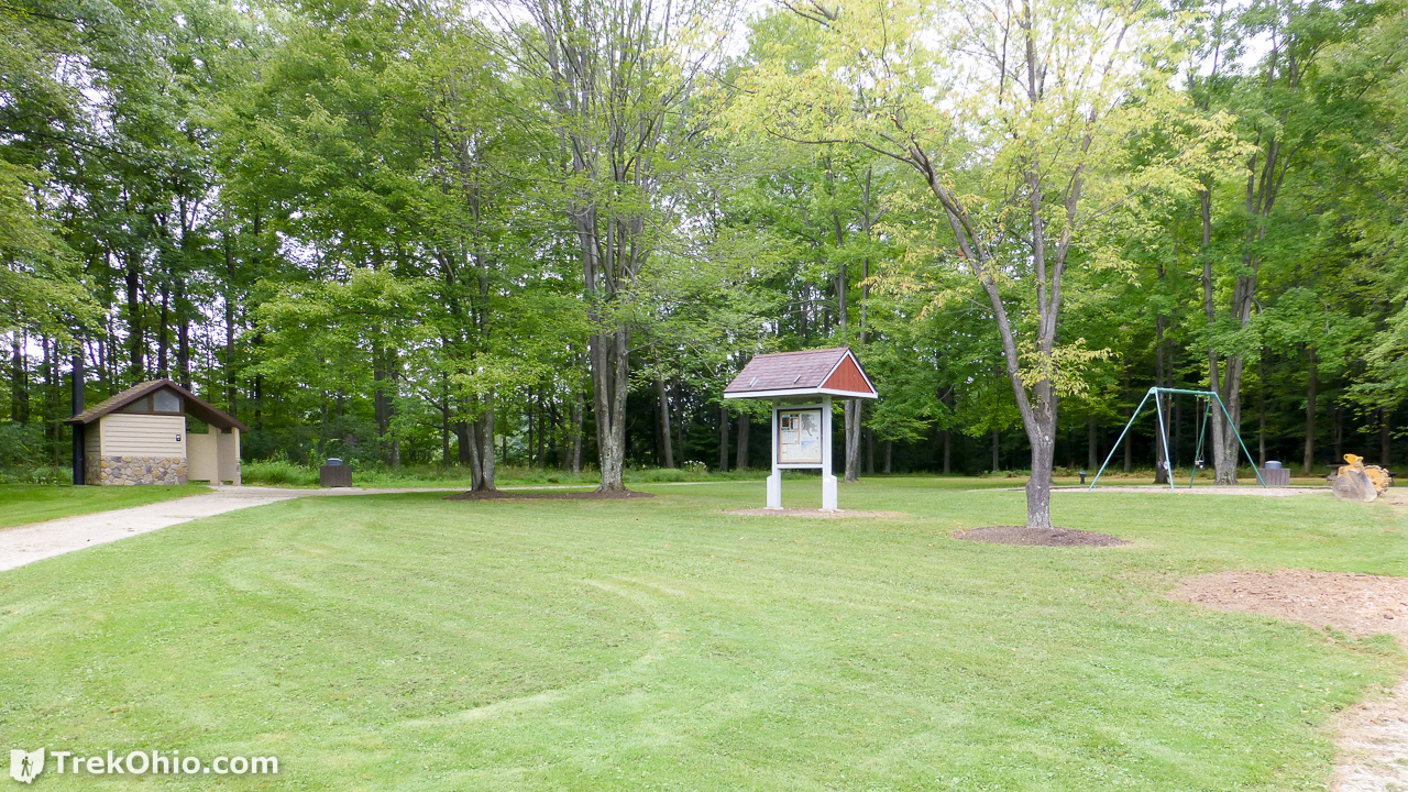
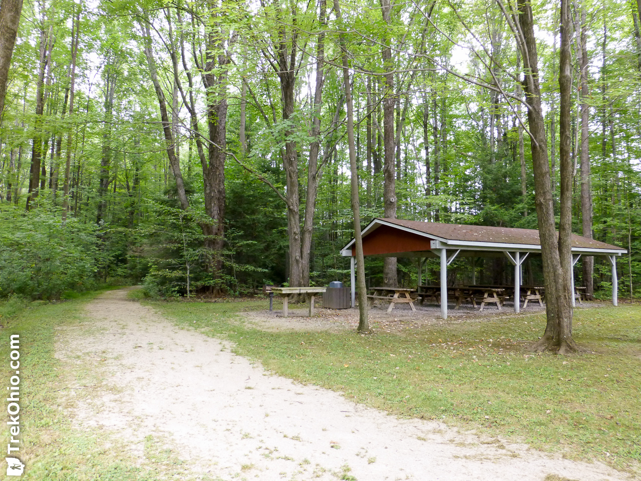
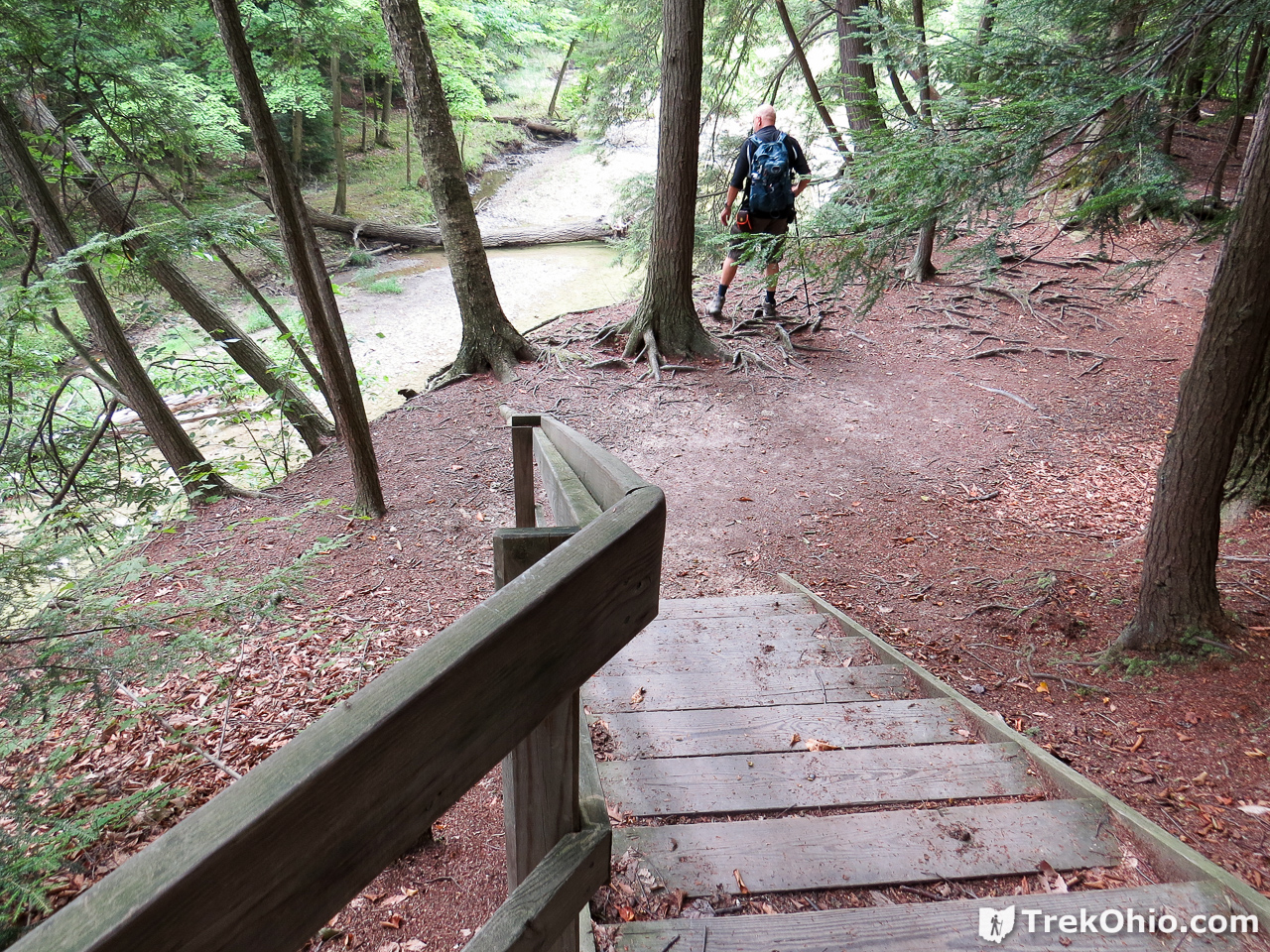
We visited the park in late September of last year. Near the parking area there is a lawn with a small playground, restrooms, picnic shelter and kiosk. For those interested in hiking, the kiosk features a map showing the park’s two trails. The Beech Ridge Loop Trail is a wide, well-manicured and relatively flat trail that is at the same level as the parking lot. At the far end of the loop a rail fence borders the rim of the ravine and offers views of Paine Creek below. Those wishing to descend into the ravine can walk down the 262-step stairway to the ravine’s bottom. Once at the bottom hikers can follow the one-way Wildcat Trail, which is less manicured and offers views of Paine Creek.

Beech Ridge Loop Trail
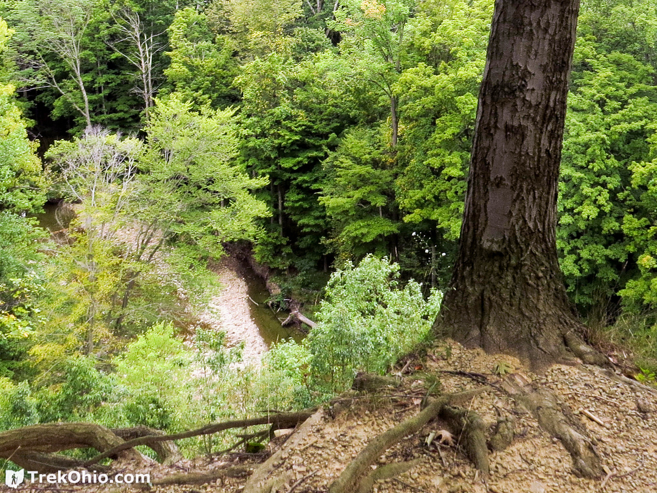
This is a loop trail with one trailhead near the picnic shelter. The trail is wide and easy. As you approach the rim overlooking the ravine, a rail fence provides an additional border. From the rim you can look down into the ravine and see Paine Creek. We could see that there was a large gravel bar in the creek.

The Stairs
The 262-step staircase descends more than 100 feet to the base of the ravine. The staircase clings to a very steep hillside, and it must have been quite a challenge to construct it. It is quite a workout coming back up it. We really appreciated the bench at the top of the ravine on our way back.

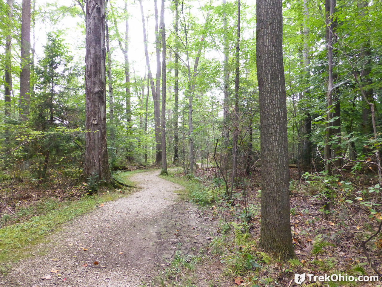
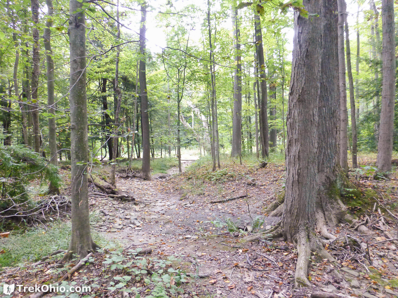
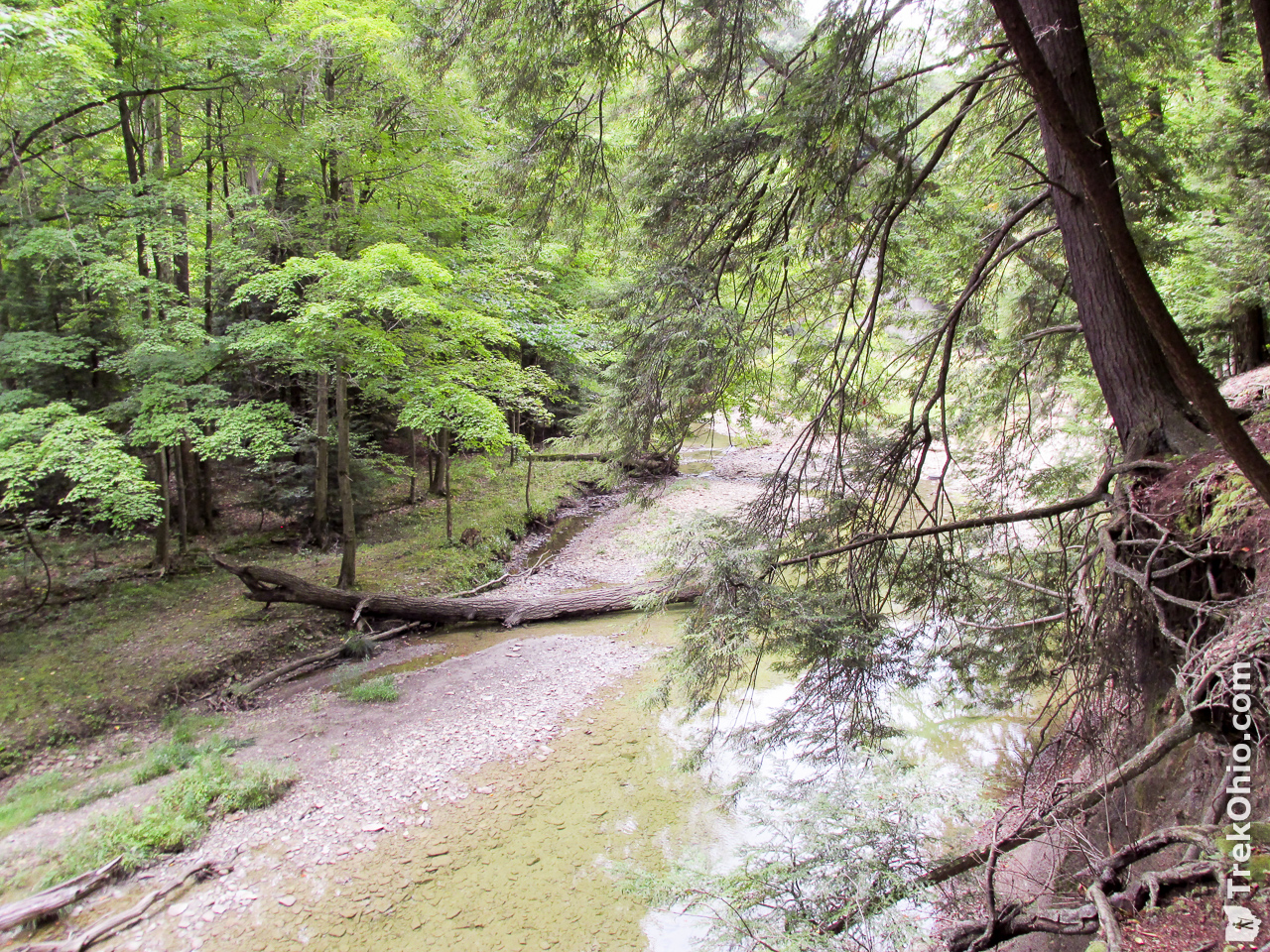
Wildcat Trail
This trail is more narrow and more primitive that the Beech Ridge Loop. It starts at the bottom of the stairs, and you can get a good look of Paine Creek from there. It crosses through the woods to another point opening out on the creek.

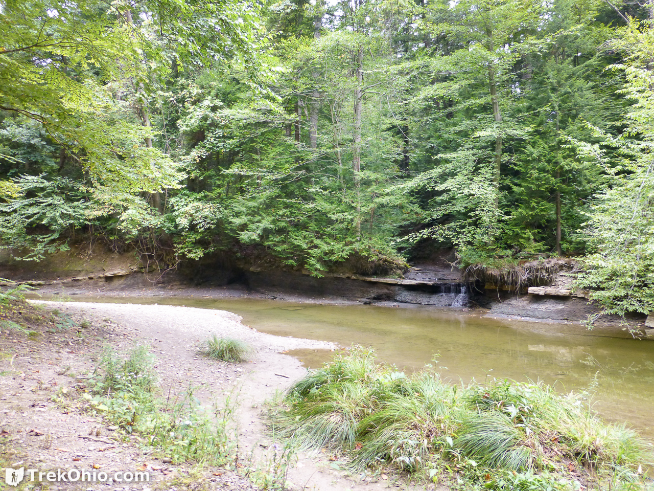
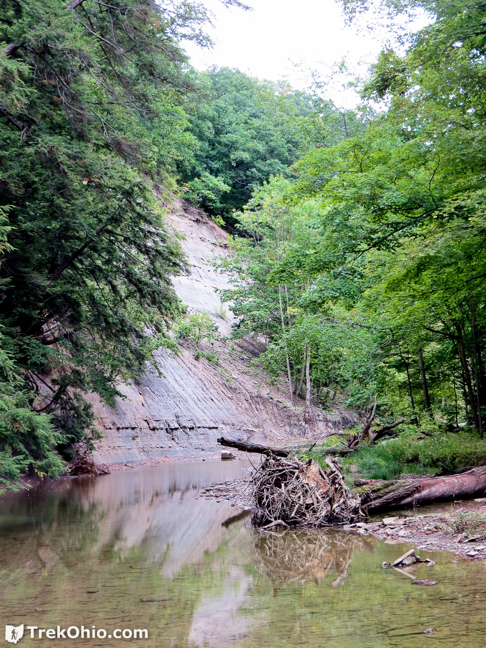
Paine Creek
During our September visit we could see gravel bars in much of the creek; I’m sure if we were there in the spring, the water would be higher. At various places the ravine was edged by steep cliffs made of Chagrin Shale. Paine Creek eroded the shale bedrock to create the ravine over the course of thousands of years following the retreat of the glaciers after the last ice age.
Another park in the Lake County park district also lies on Paine Creek. This one is downstream from Hell Hollow, and it is known as Paine Falls Park.
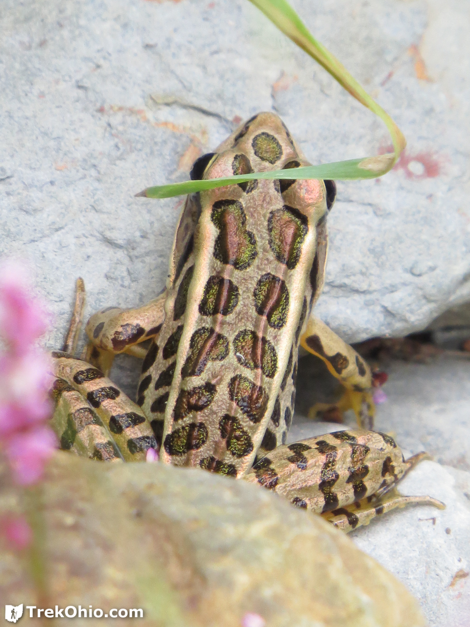
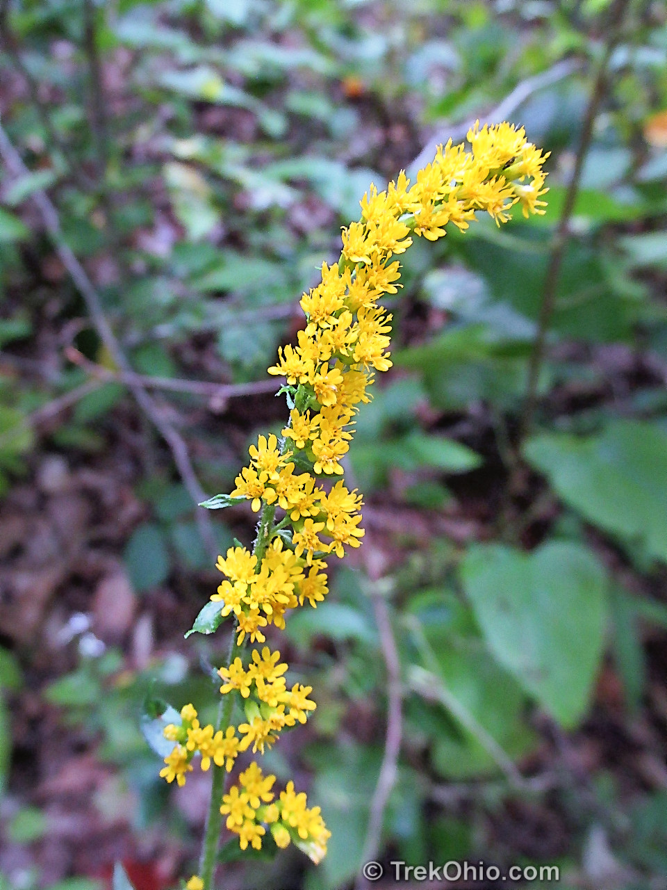
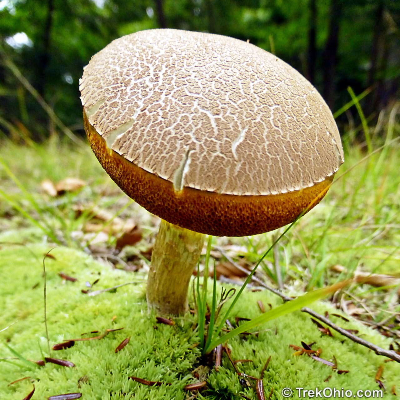
Flowers, Ferns, Fungus and Critters
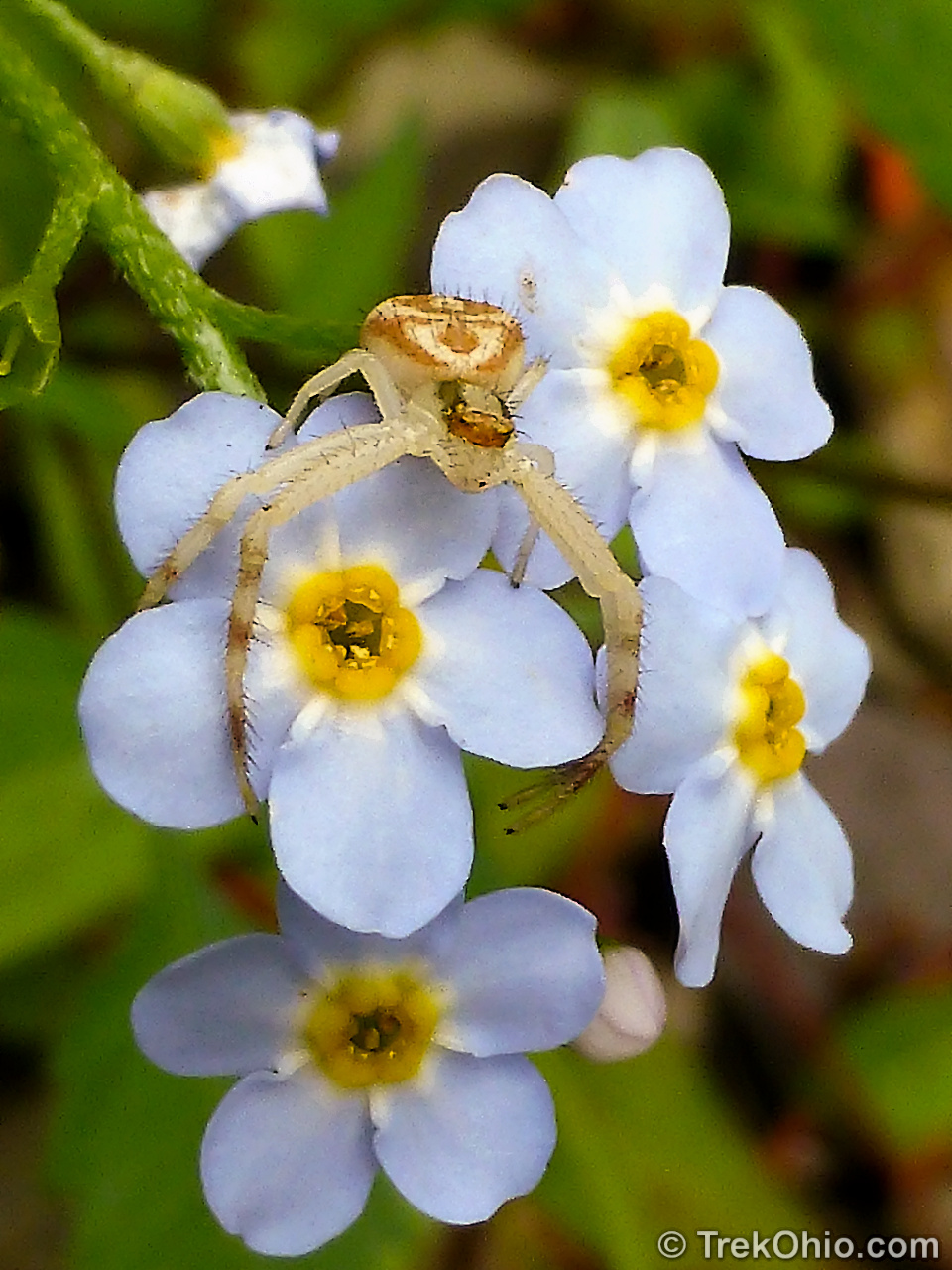
Most of the photos below were taken while we were exploring Wildcat Trail and had views of the creek.

Below a crab spider waits to capture one of the flower’s pollinators. I wrote more about this Ambush Predator in a Flower in a previous post. Since we were visiting in September it was a treat checking out the late-blooming flowers.

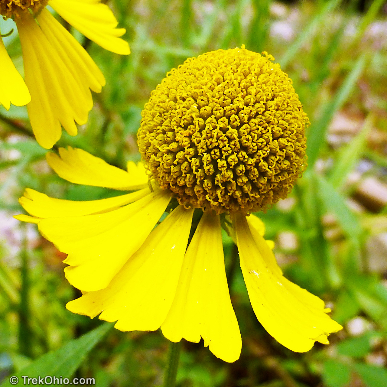
Although the above plant is known as “sneezeweed” this is a really misleading name. The flower’s pollen is distributed by insects while most allergy-inducing plants distribute their pollen via the wind. Sneezeweed does not cause sneezing, nor does it cause hayfever in the fall. We found it growing near the water, and its seeds are distributed in part by floating to new places on the water’s surface.
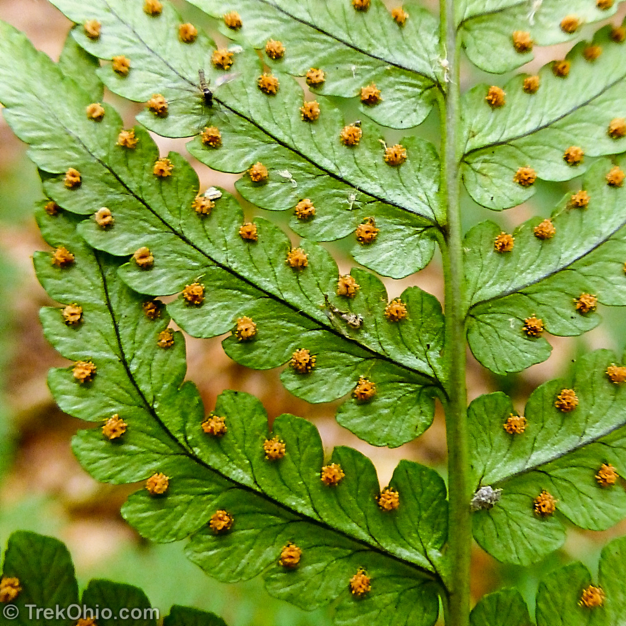
I’ve written a previous post on fern identification if you are interested in learning more.
Lake County’s Tree Problems
Jim McCormac recently reported that many species of trees in Lake County have been dying off. Beech trees are dying off in much of northeastern Ohio, and in Hell Hollow in particular. Naturalists have been trying to determine the cause of this die-off for three years without success. However, at this point 100% of the beech trees in Hell Hollow have been affected. Sassafras trees are also being killed by an unknown process. Like much of Ohio, Lake County’s ash trees are dying from emerald ash borer. And elongate hemlock scale has reached Lake County, although I don’t believe it has reached Hell Hollow specifically yet. This scale is killing off hemlock trees. So sad news indeed for Ohio’s nature lovers.
Additional information
- TrekOhio: Lake County Parks & Nature Preserves — This is the county where Hell Hollow is located. Check out this page for links to the official site and for information on nearby parks and preserves.
- A History of Hell Hollow
- Jim McCormac’s blog, “Ohio Birds and Biodiversity”, recently include a post on the death of beech tress in this park: Beech tree killer still unknown, UPDATE
- Illinois Wildflowers Info: Common Sneezeweed
Location
- Address: 14437 Leroy Center Rd., Thompson, Ohio 44086
- GPS Coordinates: 41.6895863, -81.1185823
- Google Maps: View on map or get directions
More on Lake County
 Mentor Marsh State Nature Preserve
 Holden Arboretum: Canopy Walk & Emergent Tower
 Headlands Beach State Park – Ohio’s Largest Beach
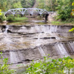 Paine Falls Park
Hell Hollow looks and sounds like a very nice local park, but who labeled it “wilderness”? That’s quite a stretch using such a word in it’s title!
That is pretty sad about the trees having problems surviving in Lake County. Beech, sassafras and hemlock are three of my favorites.