The Ledge Trail is located in the Virginia Kendall Unit of the Cuyahoga Valley National Park. The trail follows along the sandstone cliffs that make up Ritchie Ledges. The trail map at the kiosk says that the Ledges trail is a 1.8-mile loop. However, I have seen numerous other sites on the web say the trail is 2.2 miles. According to park officials it is a moderately difficult trail to hike. If the loop isn’t enough of a work-out, there are connector trails leading to other, nearby trails, so you can lengthen your hike to suit your available time and physical ability.
History
Ritchie Ledges gets its name from William Ritchie, a farmer who once owned this land. In 1913 the land around Ritchie Ledges was purchased by Cleveland coal baron, Hayward Kendall, and Kendall used it as a hunting retreat. When he died in 1927, he left the land to his wife, Agnes, with the stipulation that it should eventually become a park called Virginia Kendall Park in honor of his mother. In 1929 Agnes donated the 430 acres around Ritchie Ledges to the state of Ohio under the conditions that the “property should be perpetually used for park purposes.” Ownership and management of the park land was transferred to the city of Akron in 1933 at which point it became a metropark. In 1974 the park was transferred to the National Park Service, and it officially became part of the Cuyahoga Valley National Park (CVNP) in the year 2000. The CVNP continues to refer to this portion of the national park as the “Virginia Kendall Unit.”
Overview of Our Hike
The next photo is one that I took of the trailmap at the kiosk. The central portion inside the loop trail is a plateau. To see the scenic views of the cliffs and outcroppings, you have to descend from the plateau to the area below. The portions of the trail that feature cliffs and outcroppings are the outlined in gray on the map. It’s the same portion of the Ledges loop trail that we hiked (traced in yellow).
We began our hike near the center where the parking lot is located. We walked north a bit, then turned east and descended from the plateau to the base of the cliffs. We then hiked the loop in the counter-clockwise direction. Soon we were going past the Ice Box Cave. As we drew near the northern portion of the loop we did a side hike around the Haskell Run Trail (which I’ll discuss in a future post). Once we returned from the side hike we continued south along the western half of the Ledges loop trail. At the southern end of the loop we climbed back up to the plateau to take in the view from the Overlook.

Parking Lot to the Ice Box Cave
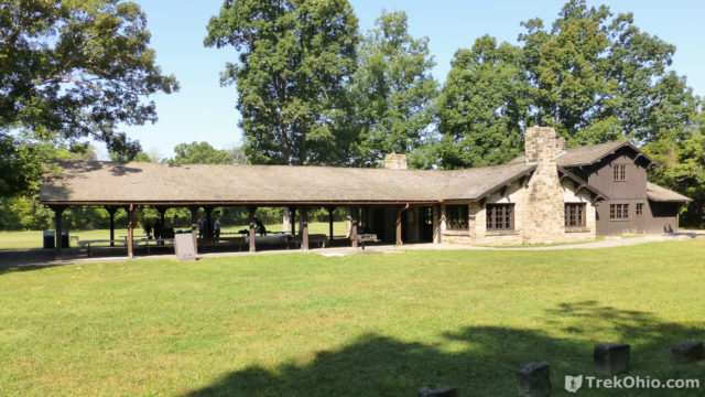
Near the parking lot is the Ledges Shelter. It was built during the Great Depression by the Civilian Conservation Corp (CCC). The timber was from American Chestnut tree (a huge tree that has been almost entirely wiped out by an Asian blight). The stone used in the construction came from Deep Lock Quarry which is now a metropark.
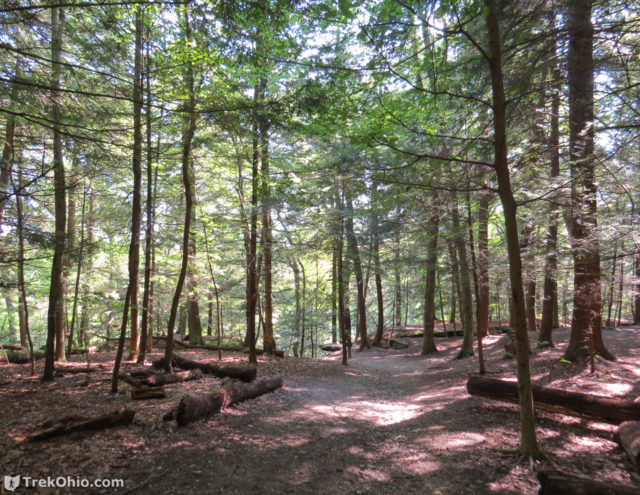
While heading eastward on the plateau, we passed through a hemlock forest.
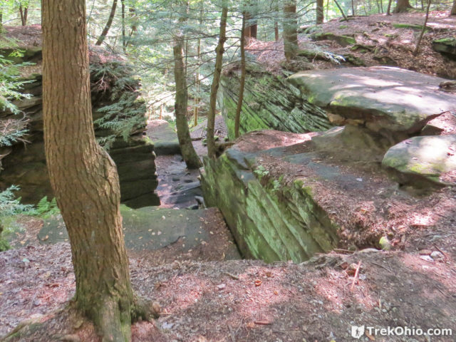
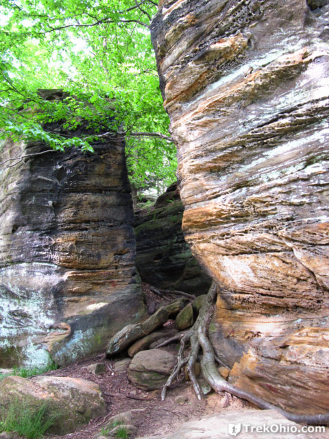
As we drew near the place where we would descend off the plateau, we began to see crevices in the bedrock below.
After we were down near the base of the cliff, we headed northward and were soon going past the Ice Box Cave. Ice Box Cave is not a limestone cavern, but instead a sandstone recess cave. It received its name because of how cool it is inside the cave. Although people used to be able to explore the cave, sadly it is no longer accessible to hikers. So many bats have died from a fungal infection known as White Nose Syndrome (WNS) that people are barred entry because they might accidentally track in some of the lethal fungal spores (lethal to bats, not us). From the trail, we could only see the mouth of the cave. It looks like a dark square to the left-hand side of the photo below.
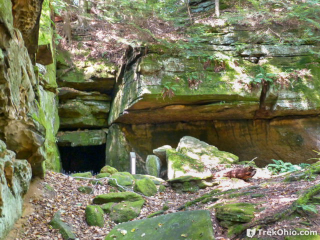
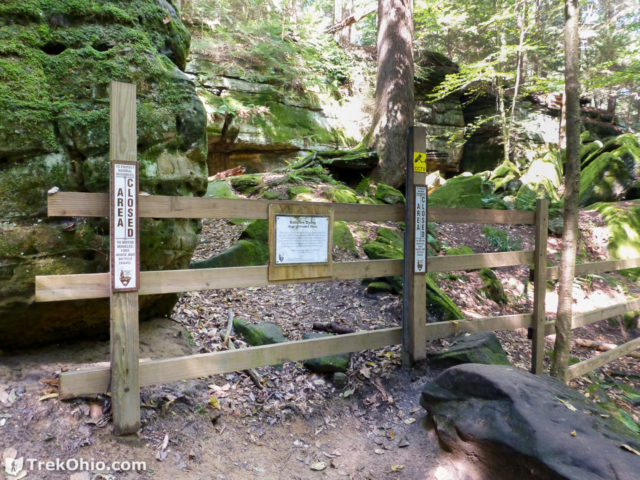
Cliffs made of Sharon Conglomerate
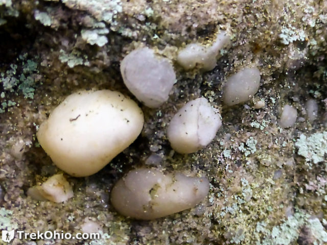
The exposed bedrock that makes up the cliffs and outcroppings here is called Sharon conglomerate. This rock was formed some 300 million years ago. It is a mixture of coarse sandstone and quartz pebbles. The light-colored quartz pebbles are known locally as “lucky stones.” Below you can see some embedded in the sandstone.
Cliffs along the Trail
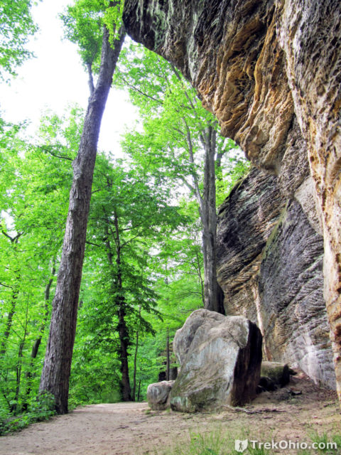
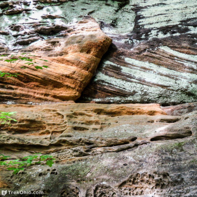
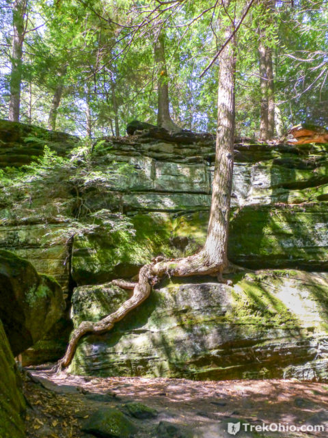
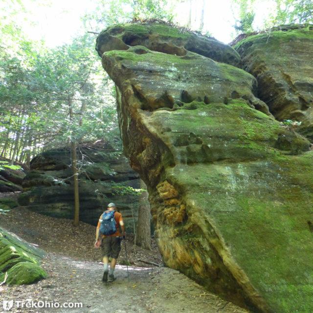
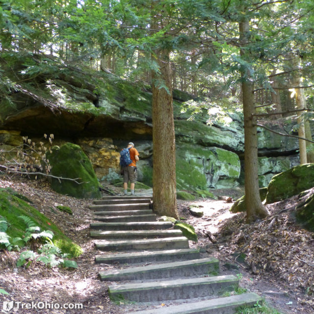
The trail hugs the cliffs. Below is a sample of the cliffs that we saw.
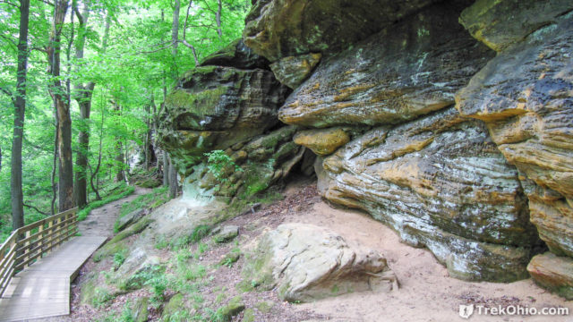
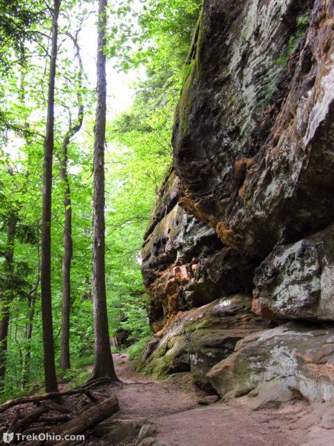
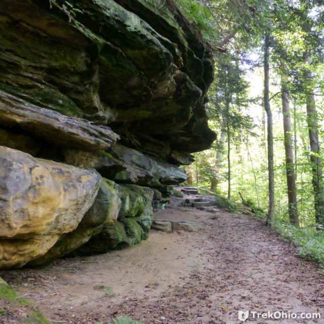
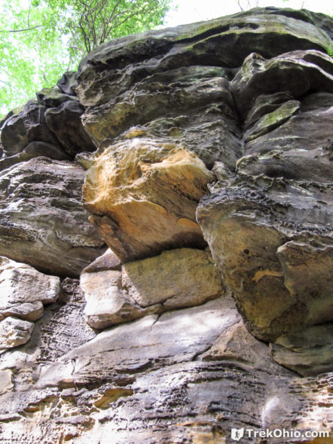
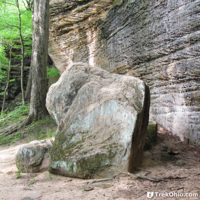
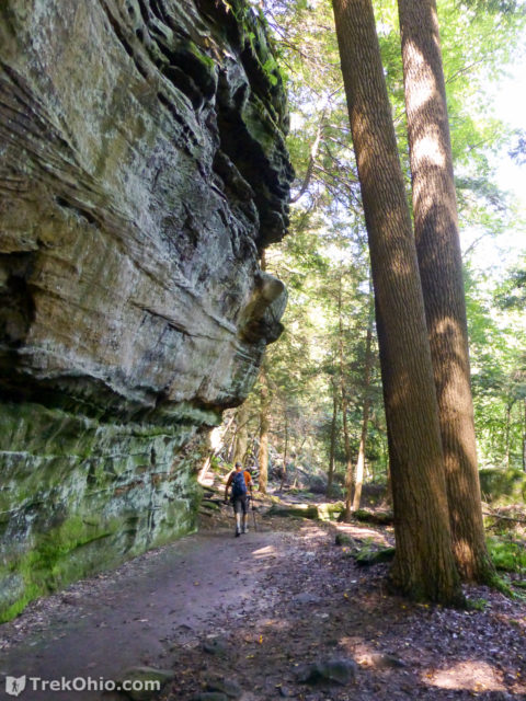
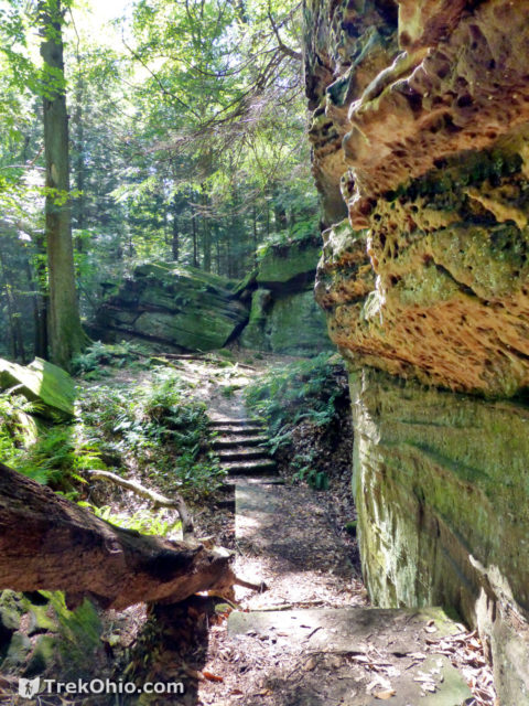
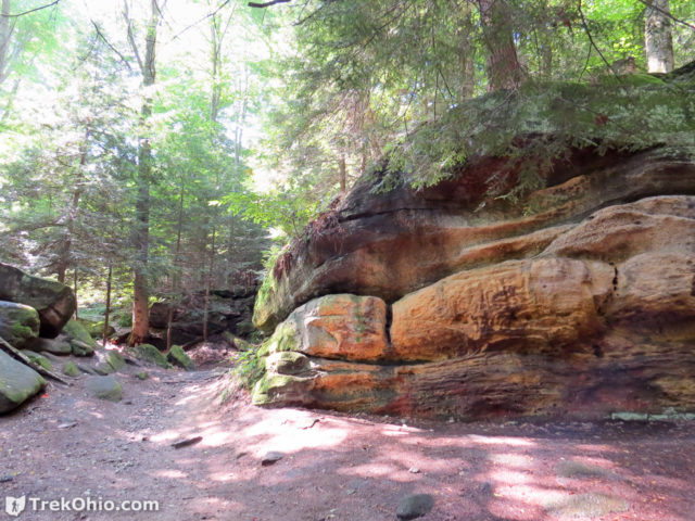
Crevices Viewed from Ground Level
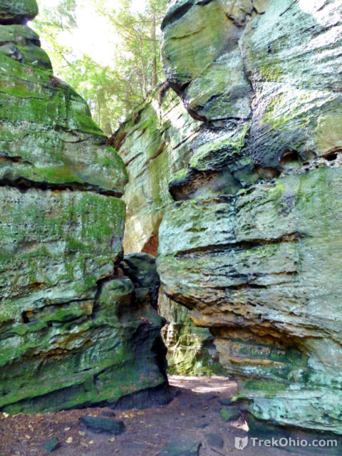
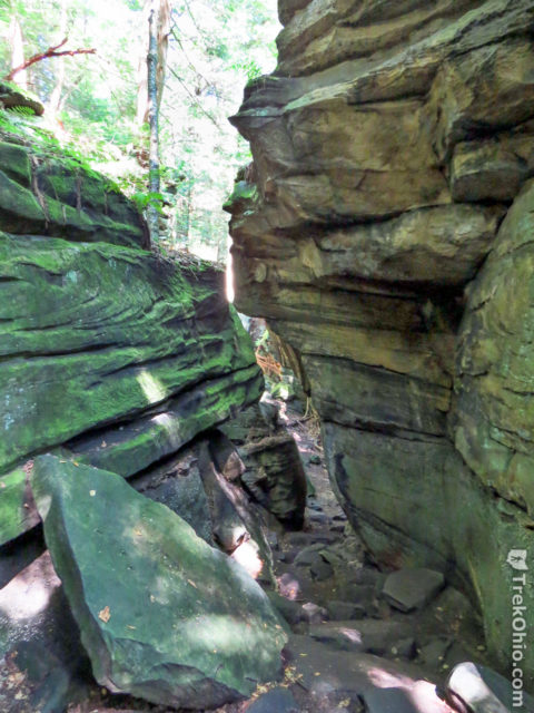
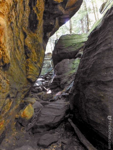
CCC and Stone Stairs
I mentioned earlier that the Civilian Conservation Corp (CCC) built the Ledges Shelter during the Great Depression. They also built stairs at various points around the trail. The one below is one of their most impressive. The photo immediately below shows workers constructing the stairs. After that there is another photo showing how the stairs look today. As was the case for the Ledges Shelter, the rock used was quarried from Deep Lock Quarry which is now a metropark.
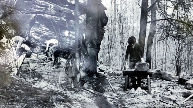
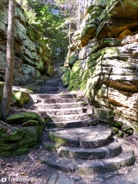
Just because it was such a nice stairs, we climbed up at this point and discovered a very nice bench at the top. After relaxing there a bit, we returned down the stairs and continued our hike along the base of the cliffs until we reached a sign directing us upward toward the Overlook.
Overlook
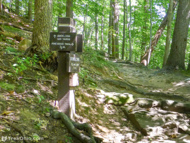
Signs like the one below were located at points where you could choose alternative routes. There are no fancy stairs up at this point, but the slope wasn’t too steep.
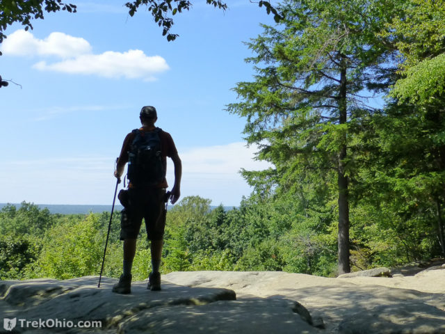
The view from the Overlook was wonderful. It is just an open space on the rocky rim. I would imagine that the view in the fall is fabulous.
Near the Rim and Surface
If you explore around the rim just beyond the nicely, manicured lawn, you will see campsites. I believe that these are from some earlier incarnation of the park, so I don’t think you can currently camp at any of these places (but if anyone knows otherwise, correct me). You’ll also notice outhouses that presumably were there to service the campers. If you go to any of these, you’ll find that they are locked. However, near the Ledges Shelter there are restrooms with flush toilets.
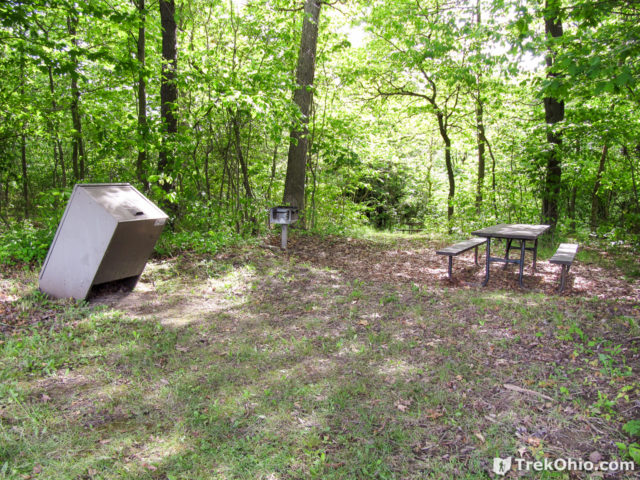
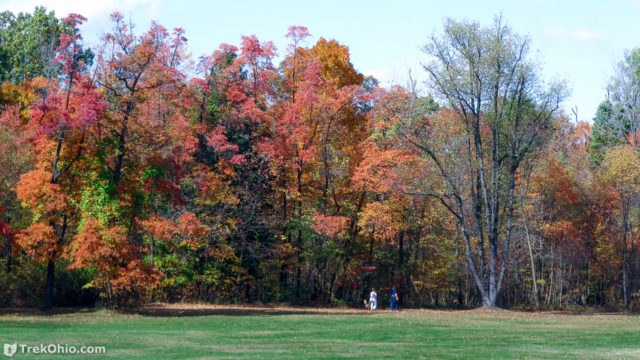
Here’s a look at the tree line from that central plateau on the same level as the Ledges Shelter. The lawn in this region is quite large.
Because I’m a fan of rock outcroppings, the Ledges Trail is one of my favorite hiking trails in Ohio. If you are going to the Cuyahoga Valley National Park it is certainly worth checking out.
Additional information
- TrekOhio: Summit County Parks & Nature Preserves — This is the county where the Ledges Trail of the CVNP is located. Check out this page for links to the official website and for information on nearby parks, such as the Deep Lock Quarry Metropark that was the source of the stonework created at Ritchie Ledges during the Great Depression.
- TrekOhio: Deep Lock Quarry Metro Park — the stone from this quarry was used during the Great Depression to build structures and stairs in the Virgina Kendall Park, which is the part of the CVNP that we discussed in this post.
- TrekOhio: The Return of the American Chestnut Tree — We discuss what is being done to re-boot the American Chestnut tree after it was nearly wiped out by a blight. Timber from these trees were used in the construction of the Ledges Shelter.
- TrekOhio: Ohio’s Scenic Overlooks
- National Park Service: Map of the Virginia Kendall Unit of the CVNP (PDF)
- National Park Servie: More detailed map of the Ledges Area of the Virginia Kendall Unit (PDF)
- National Park Service: Virginia Kendall State Park Historic District
- National Park Service: Half Day Visit — The park service suggests some sights to take in at Cuyahoga Valley National Park if you less than a day to look around; among the recommendations are Ritchie Ledges.
- National Park Service: Shaping the [Cuyahoga] Valley — Discusses the geology of the Cuyahoga Valley.
- National Park Services: Bats in the Park — Explains that the Ice Box Cave located off the Ledges Trail was closed to visitors to protect bats from white-nose syndrome (WNS). It is believed that people have facilitated the spread of WNS by transporting fungal spores on their shoes when visiting caves.
- Facebook page: History of Akron & Summit County: CCC steps, built from stone from Deep Lock Quarry
- ClevelandHistorical.org: Virginia Kendall Park
- Ohio.org: National Park Service Celebrates 100 years in Ohio
- Ohio.com: New Kent State book looks at success of Civilian Conservation Corps in Cuyahoga Valley’s Virginia Kendall Reserve
- Cleveland.com: Cuyahoga Valley National Park's buildings and trails in Peninsula were built by Civilian Conservation Corps workers in the 1930s
- AmericanOutfitters.com: More Than Just A Hike: The Ledges Trail
- The Geological Society of America: SOURCE OF SHARON CONGLOMERATE OF NORTHEASTERN OHIO
Location
- Address (approximate): 479 Kendall Park Rd., Peninsula, Ohio 44264
- Directions: The driveway leading to the parking lot for the Ledege Trail is about one mile west of the intersection of the Akron-Cleveland Rd. and Kendall Park Rd.
- GPS Coordinates: 41.218885, -81.510874
- Google Maps: View on map or get directions
More on CVNP


Hi there! Thank you for an honest and detailed overview of your Ledges experience. Having just returned from the Ledges today and practically doing the same loop, I can say you have documented the place well. I have a question, however. Right by the bottom of the overhangs next to Ice Box Cave, I caught a whiff of a sweet smelling something. Looking down, I found an oblong, lumpy, reddish-yellow fruit about 2.5″ to 3.5″ long. It had a very strong fragrance because some animal had broken it partially open. It was soft, fleshy yellow inside with a peppery lemon sweet scent. I have searched all over the internet for pine fruits or fruits of CVNP, but have had no luck. Any thoughts on what this might have been? Thanks!
-Alli
Ohio’s most exotic, yet native, fruit is the pawpaw. Depending on what stage of development you run across it, the color can vary. An over-ripe version of the fruit could have the yellowish, red exterior color that you are describing. The interior of the fruit may look white to green when under-ripe, turning yellow as it ripens. Check out my article on it: All About Pawpaw (Asimina triloba), and see if it might be the mystery fruit that you encountered. As it turns out there is also an annual festival dedicated to the fruit. The fruit featured there is more of a cultivated variety, so it is larger and fleshier than the variety that you will run across while hiking. If interested, you can read about the festival: A Visit to the Ohio Pawpaw Festival.
Virginia Kendall is one of my favorite locales in the state. You surely encountered the state threatened Carex argyrantha there- there’s quite a bit on top of the west ledges. Virginia Kendall has been a day use facility since its inception, I believe; the areas that you’ve photographed are picnic sites.
-Tom