This forest also goes by the names “Vinton Furnace State Forest” and “Vinton Furnace Experimental Forest”. I decided to keep the word “Experimental” in the name for this article because it communicates that the forest has a research-oriented purpose. This research has been going on for over 50 years. The data collected here has been useful in gaining a better understanding of forest ecology, forest management, and the regional wildlife; this data has been cited in hundreds of scholarly papers. An area of particular interest has been to increase the prevalence of oak trees in Ohio forests.
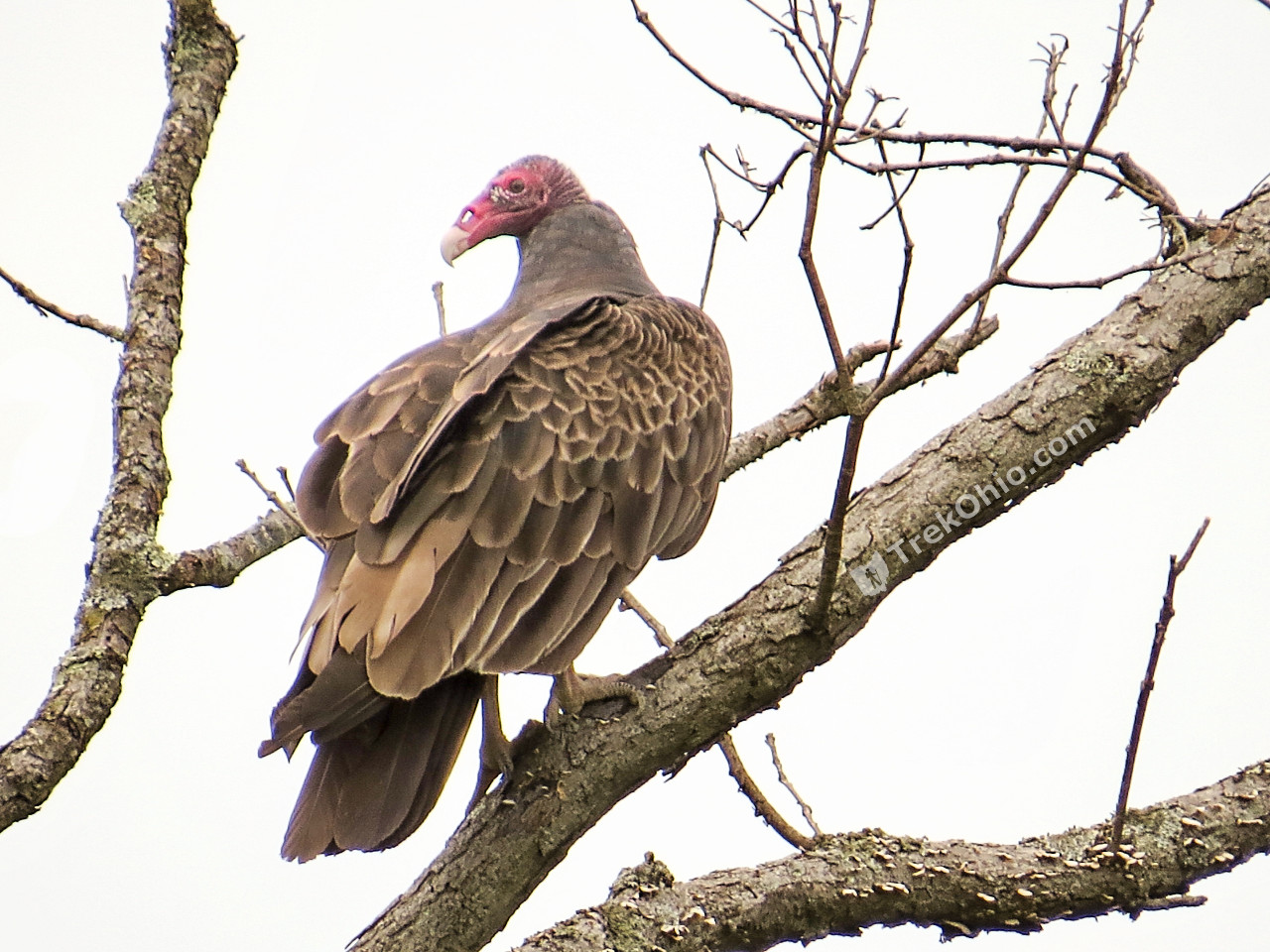
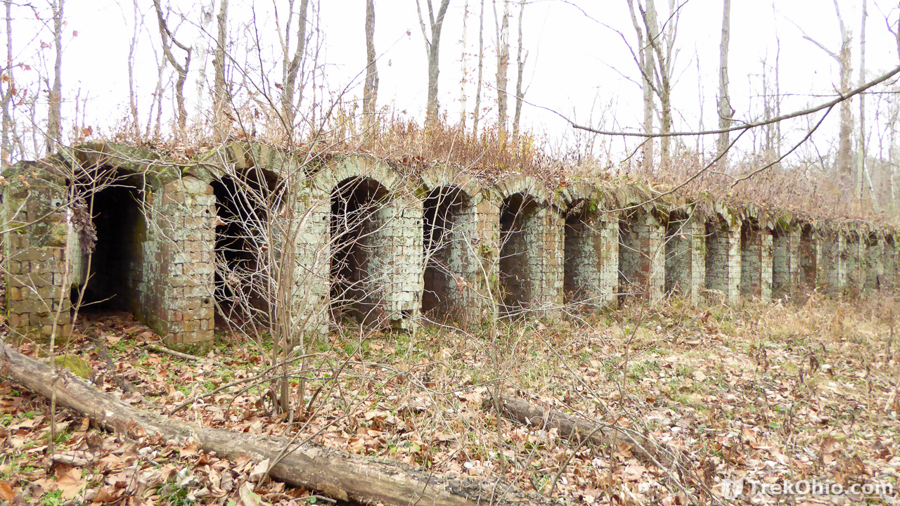
The forest is 12,089 acres large and includes the state’s largest known population of bobcats. It also has timber rattlesnakes, cerulean warblers, and a number of rare plants. Radiating out from the Forest Headquarters are a number of forest roads that also serve as hiking trails. Hunting and fishing are permitted as regulated by the state’s Division of Wildlife. As the forest’s name suggests, the ruins of Vinton Furnace are located within its boundaries. In addition the forest contains the ruins of ovens used to purify coal into coke with the intent of using the coke as fuel for the iron furnace. The bricks used to make the coke ovens were made in Belgium and shipped over here as a sort of kit. Each brick was numbered to assist in assembling the ovens locally. According to OldIndustry.org, the Belgian coke ovens in Vinton Forest are the last remnants of their kind in the world.
Getting Oriented
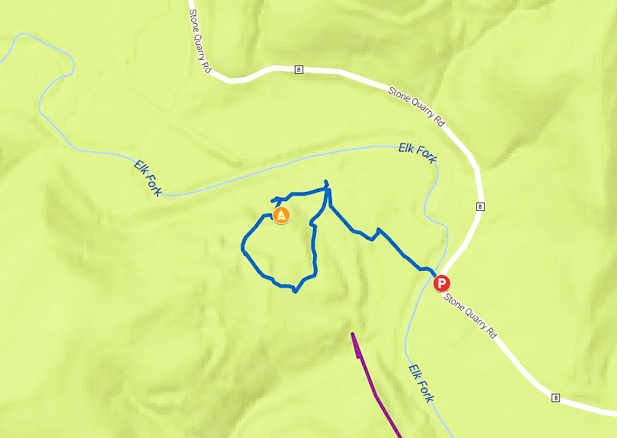
We visited Vinton Furnace State Forest twice: in July of 2015 and in November of 2016. Our summer hike is represented by the red line below that leads from the Parking area (“P”) in the lower, central region of the map and extends to the Northeast. During the summer we hiked Watch Rock Trail, and we also drove to the Hunters Camp. The photos from this trip can be distinguished below due to all the greenery.
In late November we hiked the Pine Run Trail toward Vinton Furnace, represented by the purple line starting near the center of the map and going North by northwest. We hiked beyond the end of Pine Run according to the site’s official map. At some point we decided to turn around and go back. However, Pine Run would have lead us farther on if we had chosen to keep following it. During the November trip we also stopped by Beard Cemetery, and we drove to an access point on Stone Quarry Road from which we could easily hike to the remains of Vinton Furnace. In all of these photos most of the leaves had already fallen.
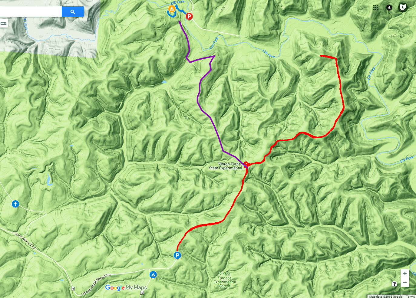
In the map that I created above, the small cross in blue to the lower left represents Beard Cemetery. The red “P” near the center, top was where we parked to visit Vinton Furnace. The point where the trail forks purple to the left and red to the right is the location of the Forest Headquarters.
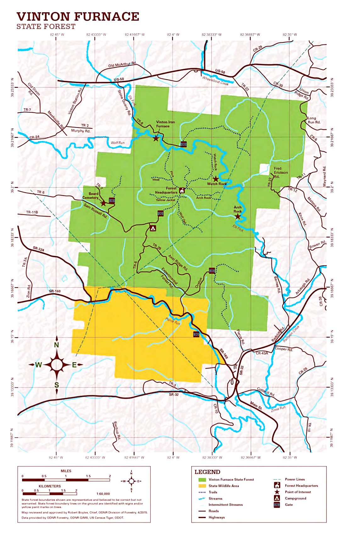
Below I’ve extracted the central part of the official map for comparison.

And here’s the official map in its entirety.
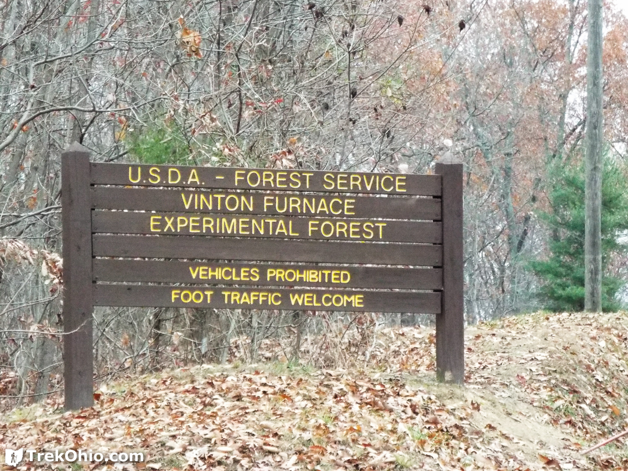
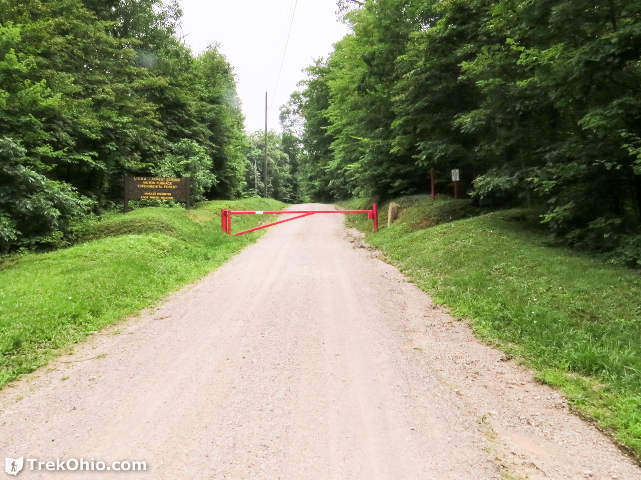
As you approach the center of the forest on Sam Russell Road, it turns into Experimental Forest Road, and the next thing you know you are approaching a gate. To the left (west) there is a sign announcing the forest and an area to park. From here you go by foot toward the Forest Headquarters which is about nine-tenths of a mile away. A number of forest roads radiate outward from the central region of near the headquarters. You can hike on any of these roads. Since the gates prevent the general public from driving on these forest roads, the only traffic you might encounter would be vehicles associated with personnel stationed there. However, during our trips we never encountered anyone driving on these roads.
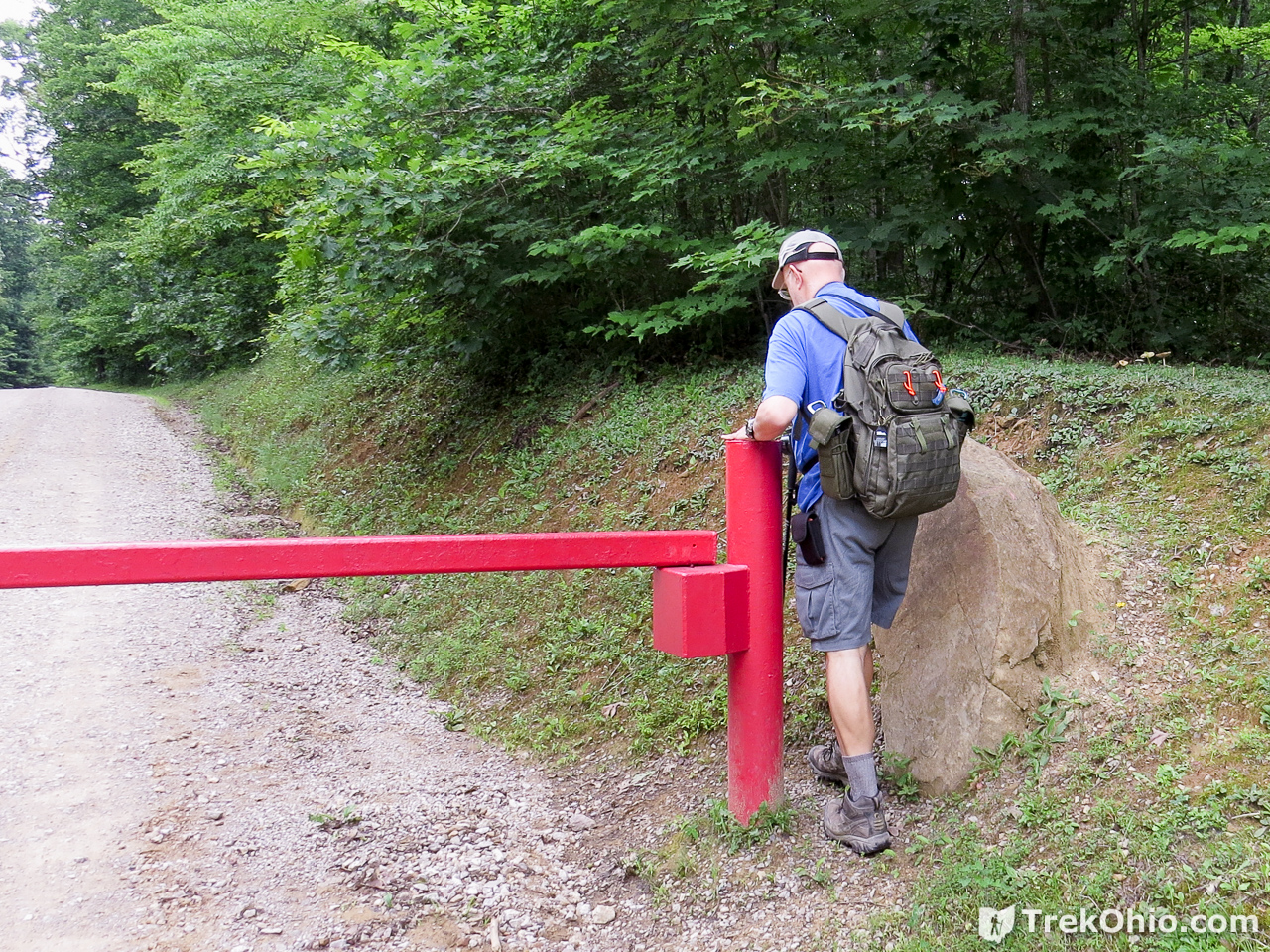
We began by hiking the deserted road to the headquarters of the experimental forest. Since this was nearly a mile away, Bob and I entertained ourselves by creating fictional scenarios in which we were approaching a remote lab where something had gone wrong. Having played a number of “Resident Evil” games, my imagination tended toward scenarios in which there was an outbreak of zombies and mutant monsters, whereas Bob favored scenarios that featured Jurassic-park dinosaurs.
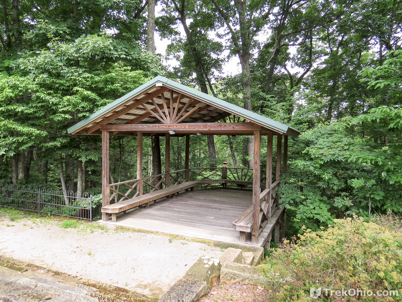
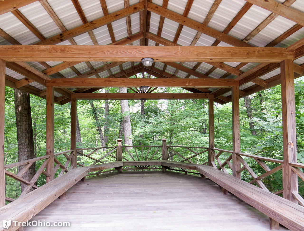
Forest Headquarters
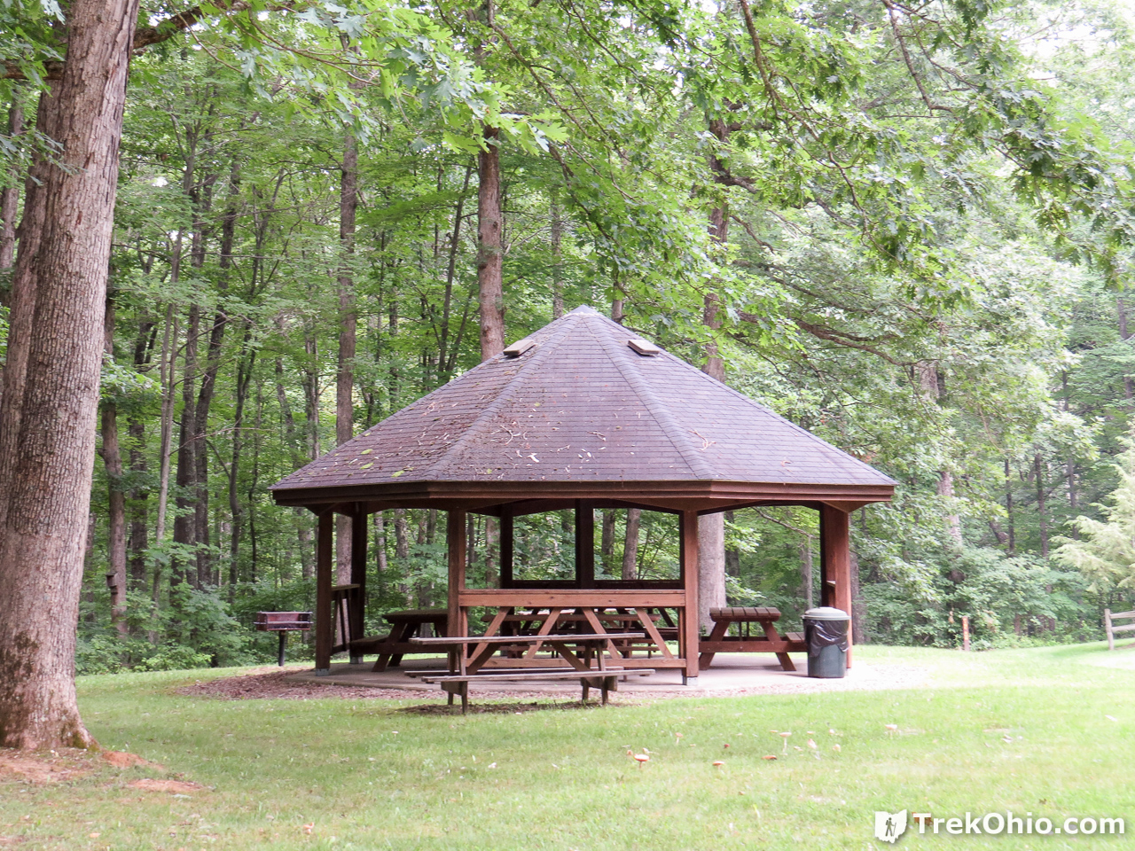
When we reached the headquarters there were a number of buildings, including the REMA Training Center, residential buildings, a large garage, and a picnic shelter.


Behind the training center was a lovely deck.
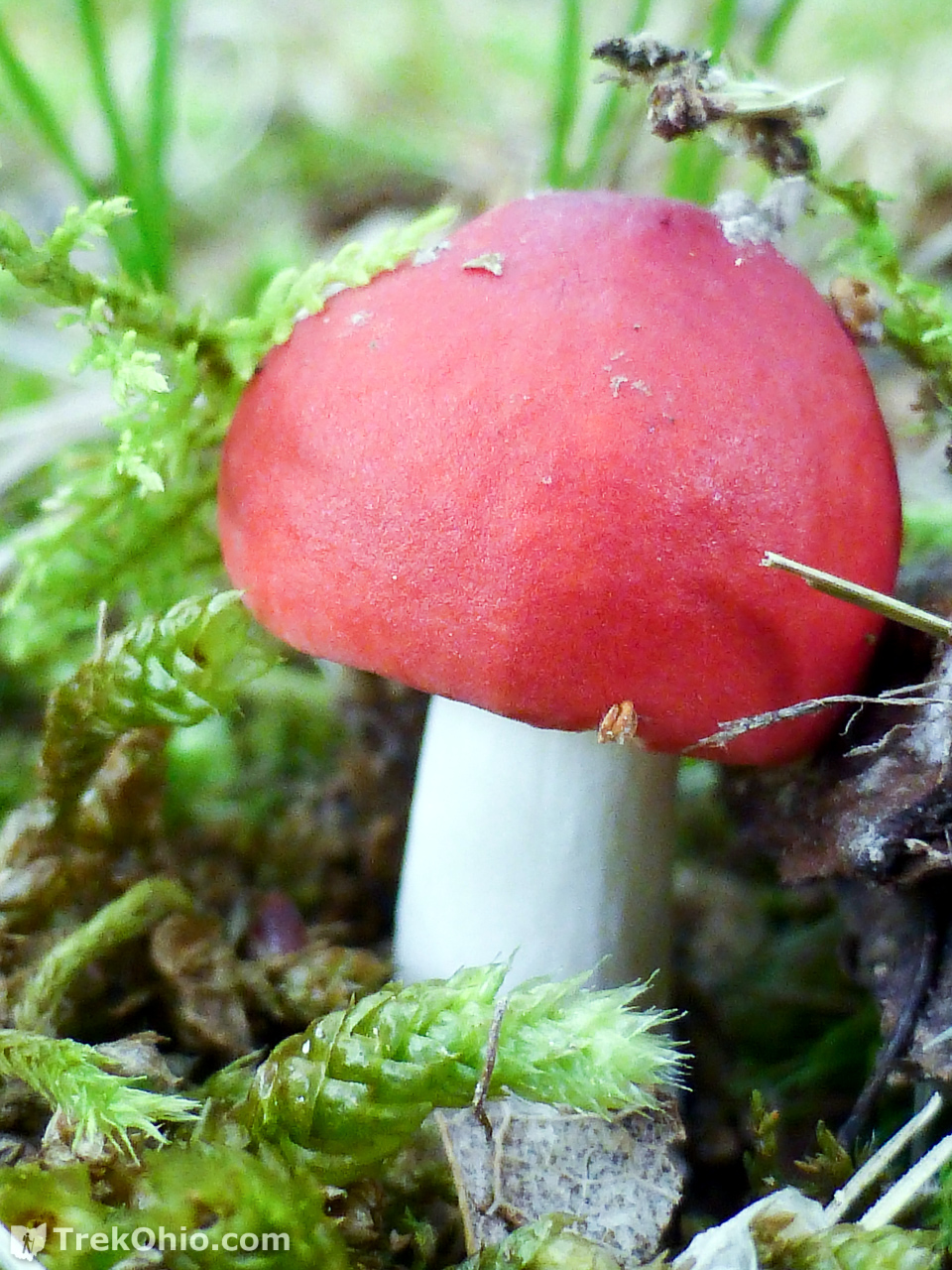
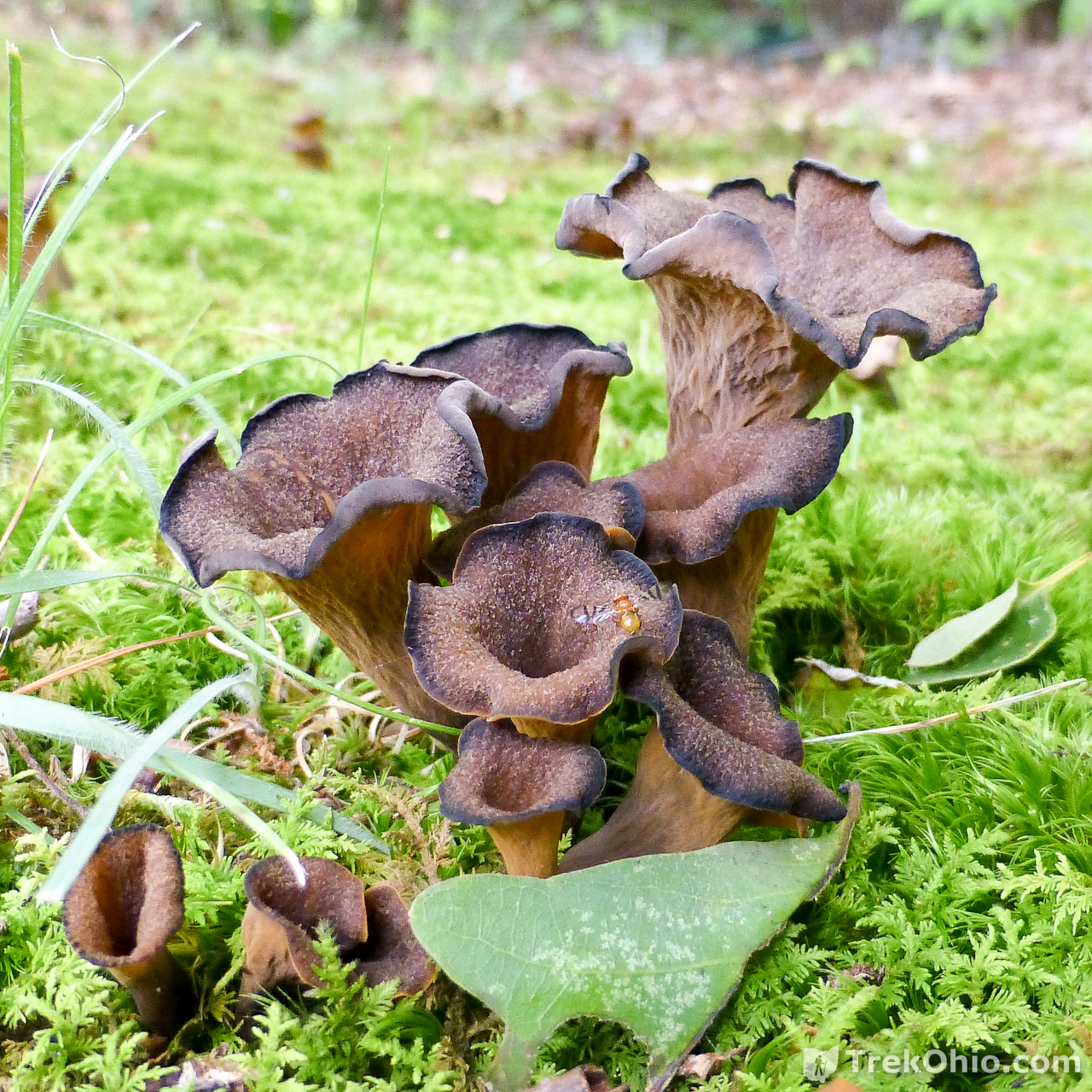
During our summer visit we had lunch at the picnic shelter. While there I noticed that there were a number of interesting mushrooms in the lawn right around the shelter.

Since our fall visit was during Thanksgiving weekend, we assumed that the place was actually empty. But since there were cars parked there during our summer visit, we assumed that there were people in the buildings, but we never saw anyone outside other than this dog.

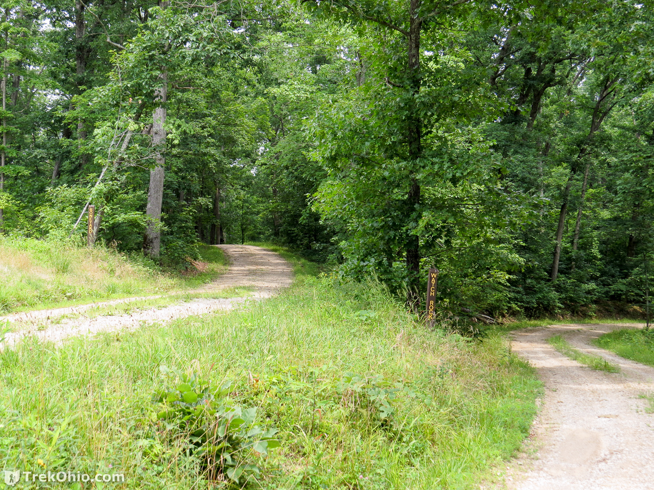
Watch Rock Road
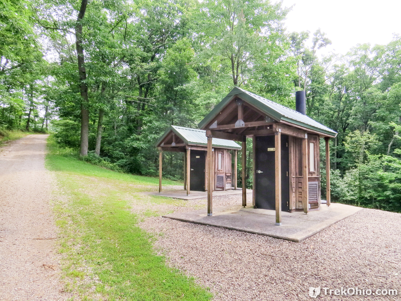
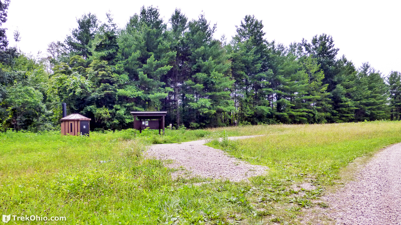
During our summer visit we decided to walk down Watch Rock road because it sounded like it could be scenic. There were public outhouses near the beginning of this road.
Because all of the hiking is along forest roads, this means that you aren’t going to come across steep grades or lots of tight turns because the roads have to be vehicle-friendly. So the roads are most straight with relatively gentle changes in grade. In addition, people generally pick up ticks from hiking through and undergrowth. Because roads are wide and clear, it is much less likely that ticks will be a problem.
Very early on we encountered a fork in the road; to the left was the intriguingly-named “Boneyard” road, but we continued on “Watch Rock” road to the right.

When you hike on forest roads during the summer, you are likely to run across butterflies “puddling” on the road. A butterfly “puddles” by sticking its proboscis (which is kind of like a tongue) onto the exposed dirt so it can take in nutritional minerals. We saw about a half-dozen different species of butterflies puddling during our walk.

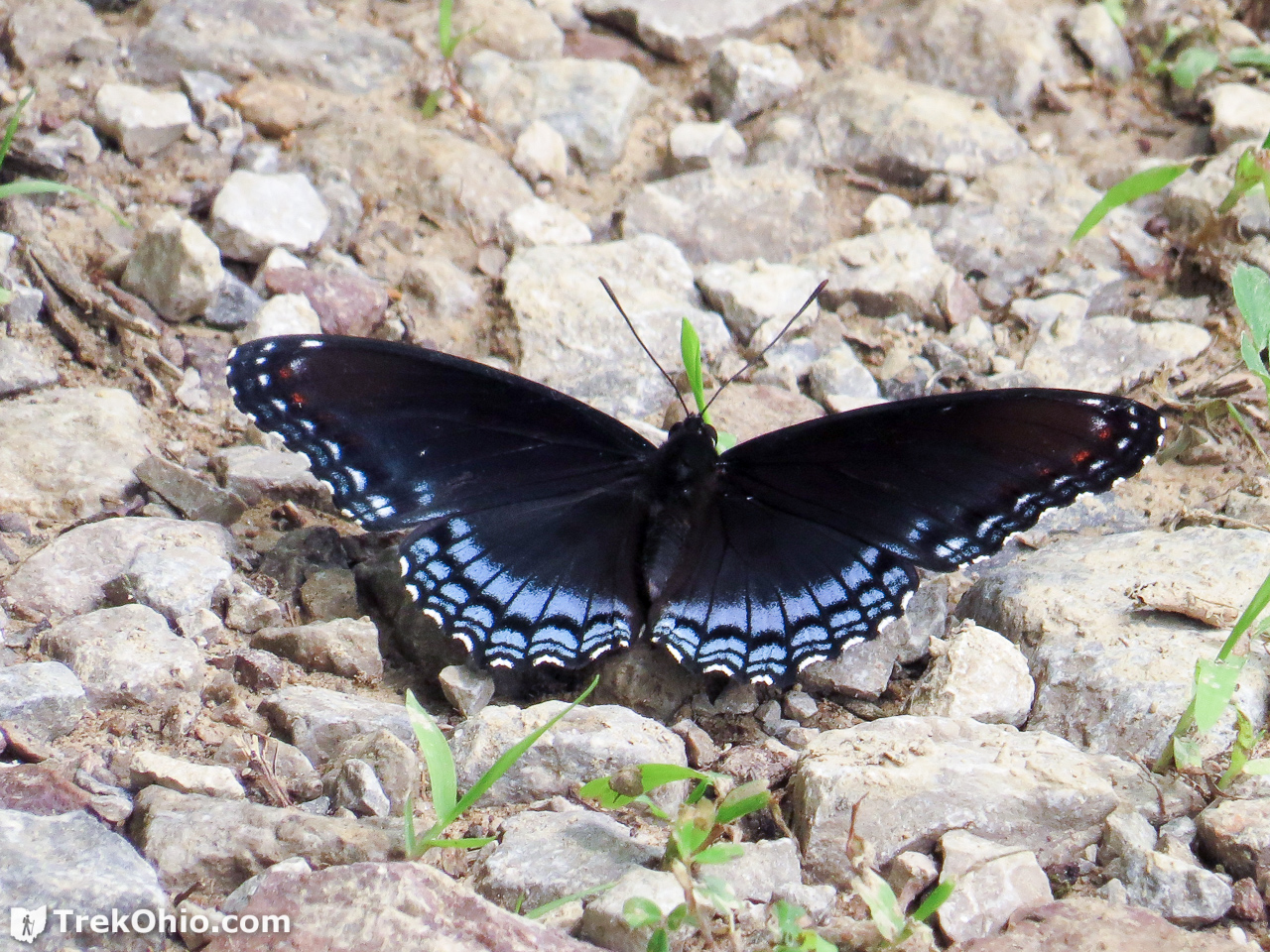
After puddling this zebra swallowtail butterfly was attracted to Bob’s camera bag.

We hoped to come across “Watch Rock” but we actually had no idea what “Watch Rock” was. Perhaps a vista? According to the map, it was located off a side-road from Watch Rock Road. We thought there might be a sign or something, but we didn’t see one. We never made it to Watch Rock, but in retrospect we think it must have been down the overgrown trail splitting off to the right in the photo below. If anyone has been to “Watch Rock” we’d be interested in hearing what it is.
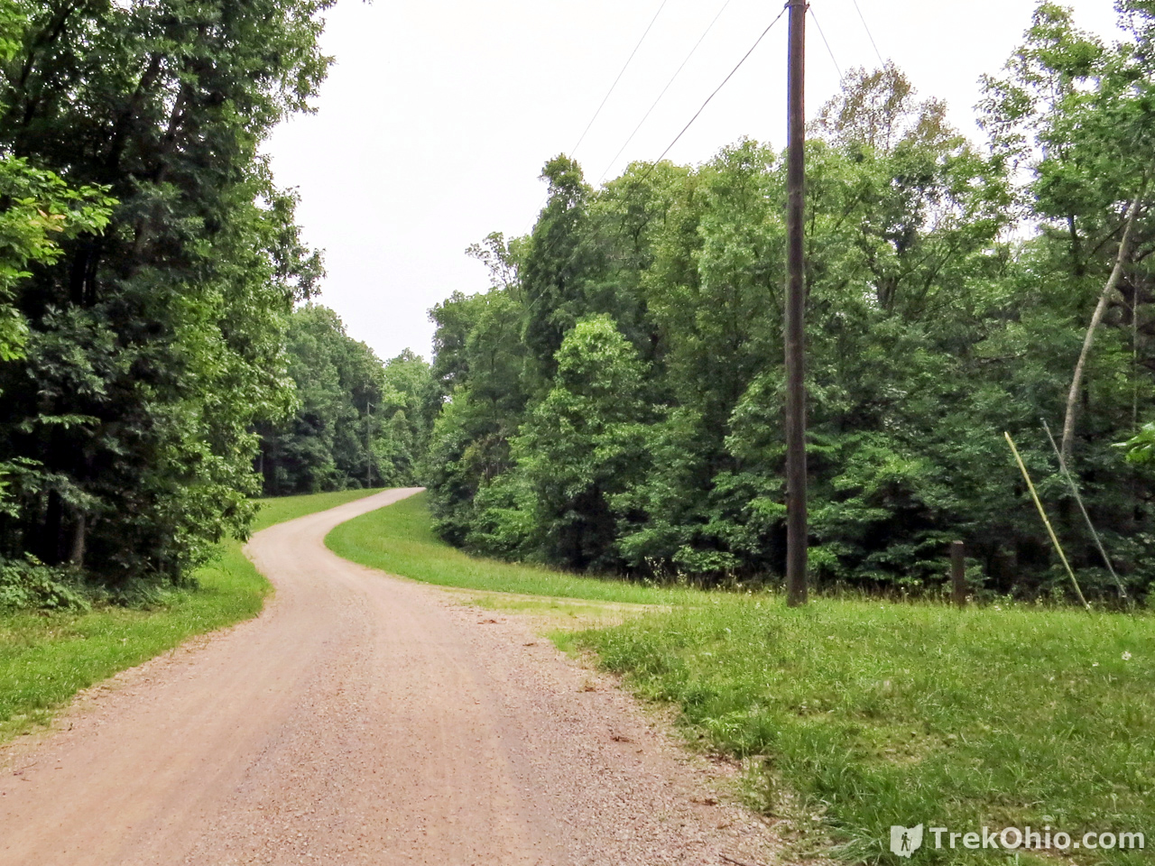
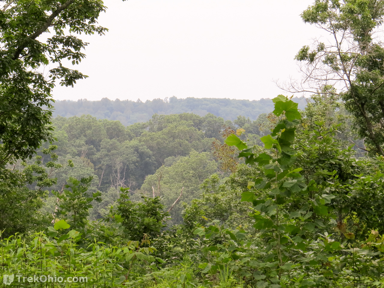
As we continued on Watch Rock road, we had glimpses of the surrounding vista through the trees.
And eventually the road dead-ended.
One area of research being pursued at Vinton Experimental Forest is the effects of fire on the forest composition. While researching Ohio’s prairies, we learned that the Native Americans in this region set fires on a regular basis. Among other things, this produced clearings which increased wildlife diversity. We also learned that oaks are relatively fire-resistant, so this tilted the forest composition toward oak which is one of the things that researchers here are interested in. So they are doing controlled burns from time to time.

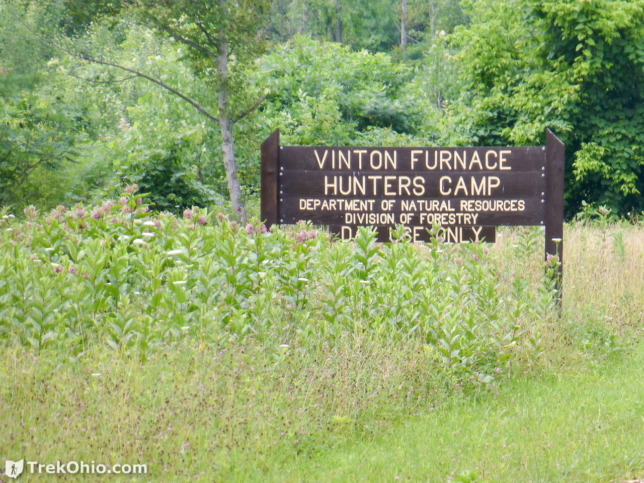
Hunters Camp
After concluding our summer hike, we also stopped by the Hunters Camp to see what that was like. It turns out that it really is exclusive to hunters. People staying there must self-register and have a hunting license. According to the Ohio Dept. of Natural Resources:
The Hunter’s Camp is operational one day before the start of squirrel season until one day after the close of grouse season. It is operational again 14 days before the start of spring wild turkey season and closes the day after the season ends.
Pine Run Road
For our next trip to Vinton Furnace State Forest, we decided to try hiking along Pine Run Road. Although on the map it looks like it ends way before the furnace ruins, we thought perhaps we could reach it from there by possibly doing a bit of off-trail hiking. As it turns out “Pine Run” seems to run well beyond what looks like its end on the official map. Since we weren’t sure we were still even in the park, at some point we just turned around and hiked back to our car. Later while visiting Beard Cemetery we had an opportunity to talk to some hunters who were very familiar with the furnace ruins, and they gave us instructions as to how we could drive there. When we loaded the trace from Pine Run and the short Vinton Furnace hike, we could see that we had been walking straight toward the furnace area. Since we hadn’t completed the hike, we don’t know if Pine Run leads to an interior hiking trail near the furnace, or whether it spills out onto Stone Quarry Road.
Below is an excerpt of our GPS traces, the purple line showing where we turned around on Pine Run, and a short way to the the north of that you can see the loop trail that we hiked to get to the furnace. I put an orange icon on the loop trail where the remains of Vinton Furnace are located.
The entrance to Pine Run is just to the north of the picnic shelter, and to the west of the training center.
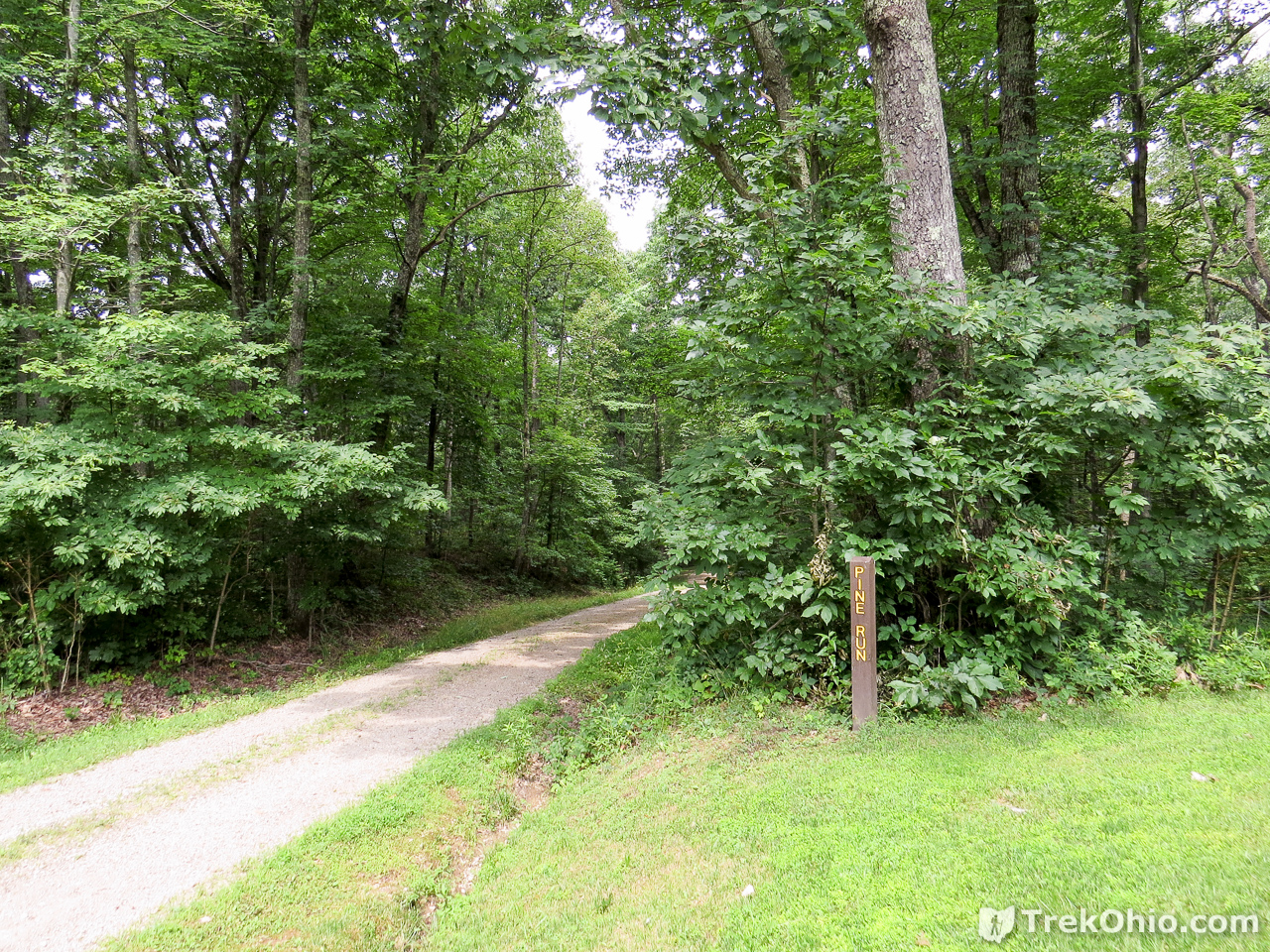
Here’s what it looked like during our hike.
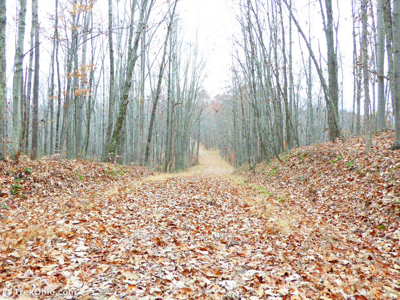
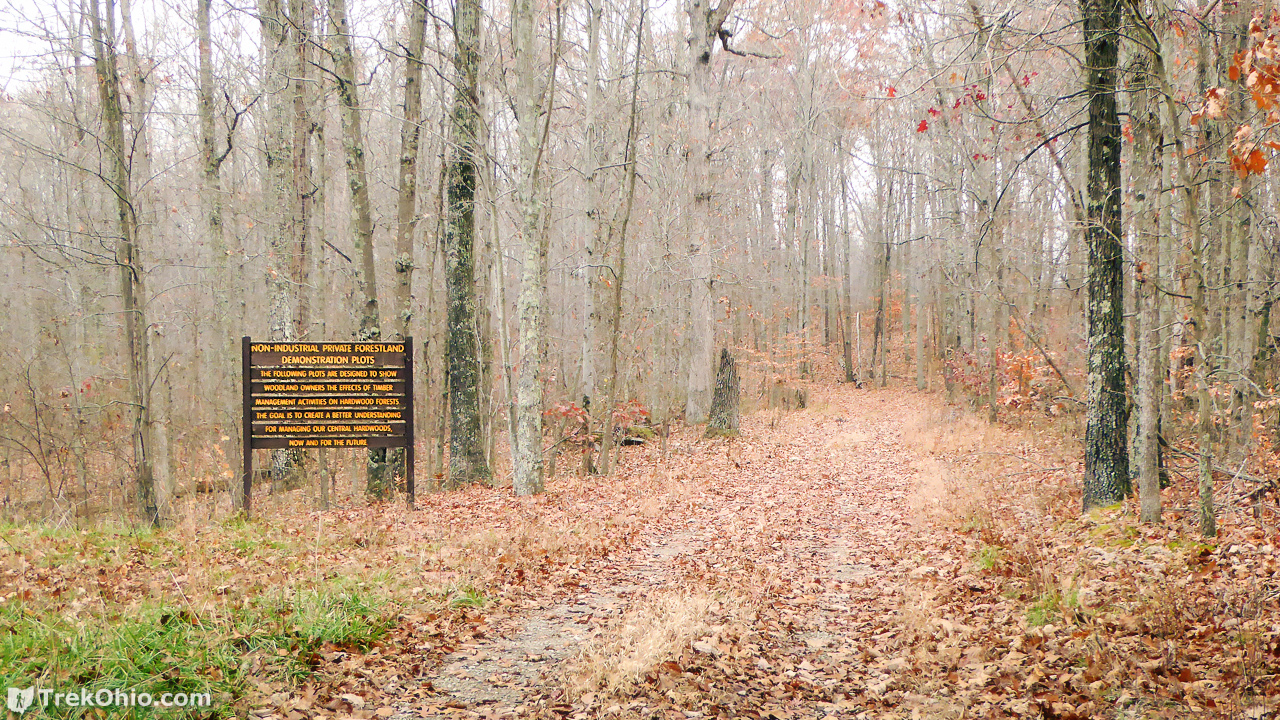
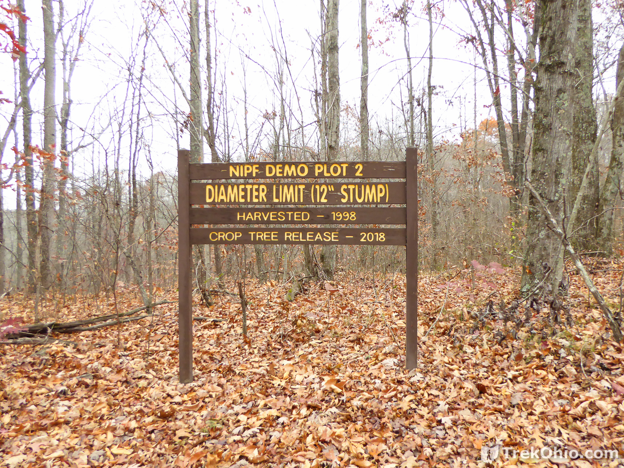
Soon we saw a sign announcing that we were about to come across a variety of demonstration areas that explored the impact of different forestry management approaches.
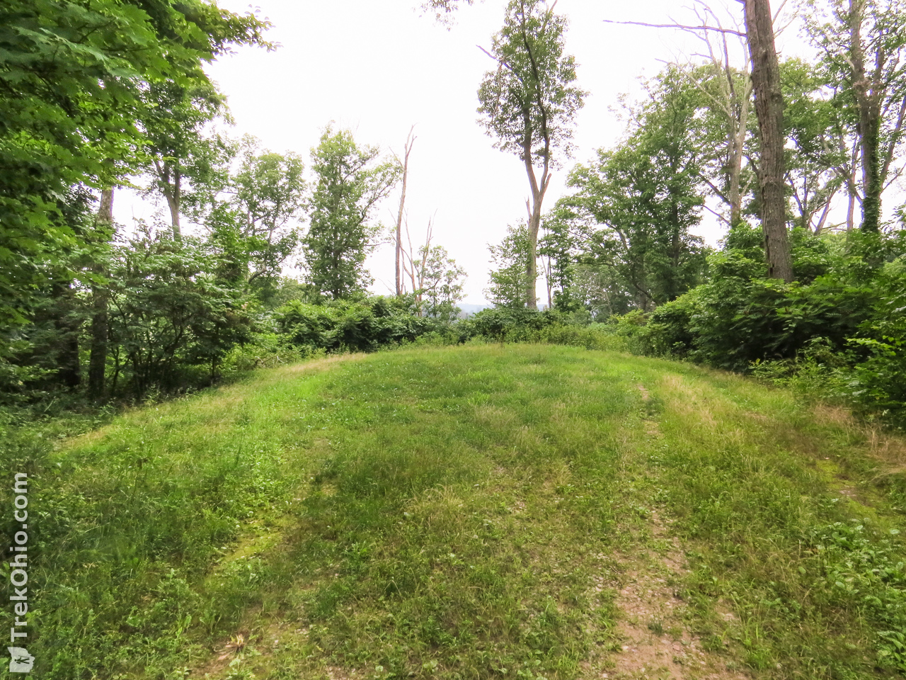
We also came to an opening.

Hiking from the parking lot to the point where we turned around on Pine Run and then back again to the parking lot was 6.1 miles in total. However, that includes about a half-mile of off-trail hiking that we did, so let’s make that about 5.6 miles total. The point where we stopped was about 300 feet from the loop near Vinton Furnace.
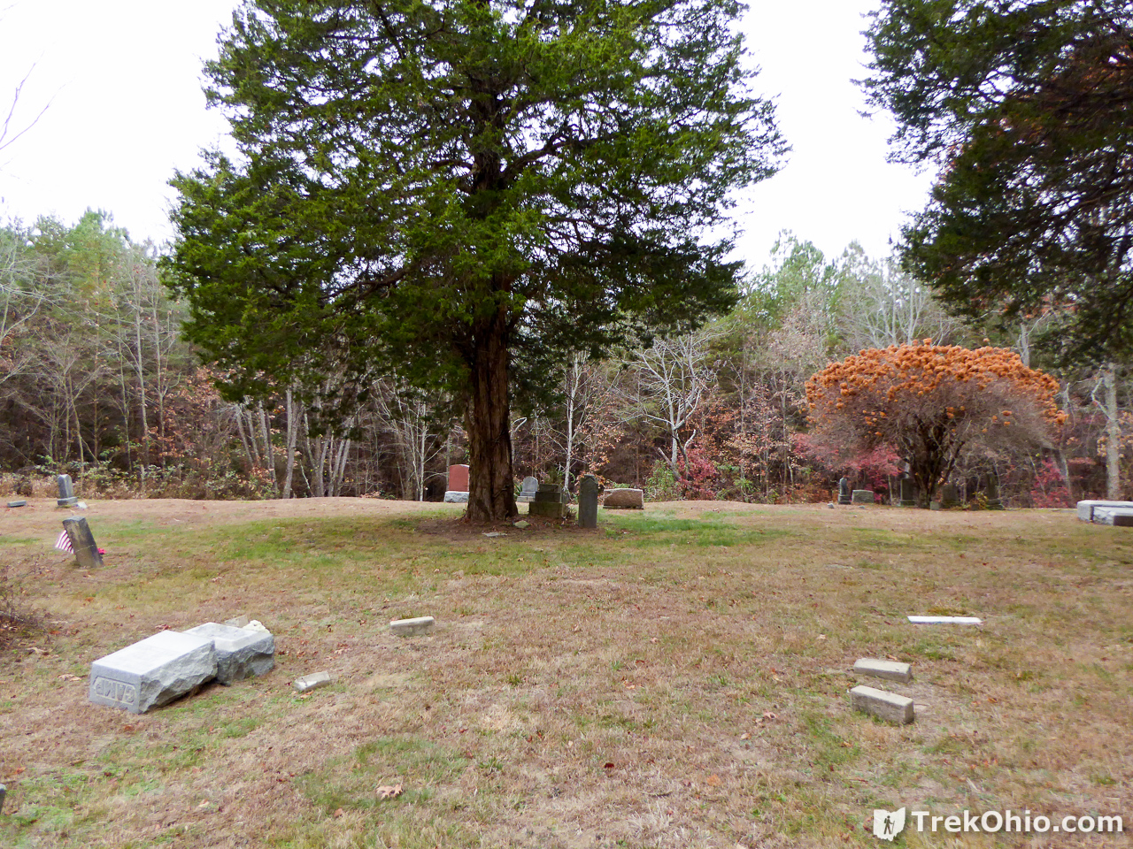
Beard Cemetery
After we got back to the parking lot, we drove to Beard Cemetery. Sadly adolescents have been pushing over tombstones there.
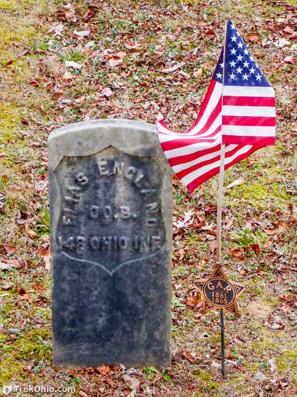
There were a number of veterans interred there. The one below fought in the Civil War.
A hunter who was also looking over the cemetery provided us with more detailed information on where Vinton furnace was, so after that we drove off in search of the furnace.
Vinton Furnace and the Belgian Coke Ovens
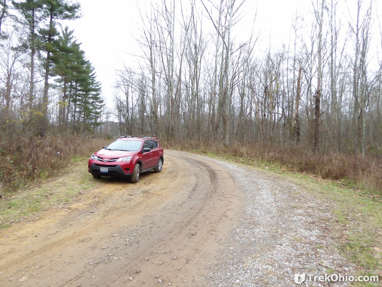
The hunter told us that we could park just off Stone Quarry Road and reach a trail to the furnace by crossing a somewhat dilapidated bridge. Sadly we turned to Google Maps on our Android devices to get directions; I say sadly because it told us that we could take Murphy Road all the way over to Stone Quarry Road. We headed down Murphy road for some distance only to reach a point where the road had been completely washed out… which kind of makes you wonder what a Google, self-driving car would do under these circumstances. Would it drive off the end of the road because its map told it there was a road there? At any rate, we had to turn around which was challenging because it was a single lane road with little in the way of berms. So don’t do what we did. Instead drive till you reach US-50 just north of the state forest boundary, and then drive to where it intersects with Stone Quarry Road. Go south onto Stone Quarry Road.
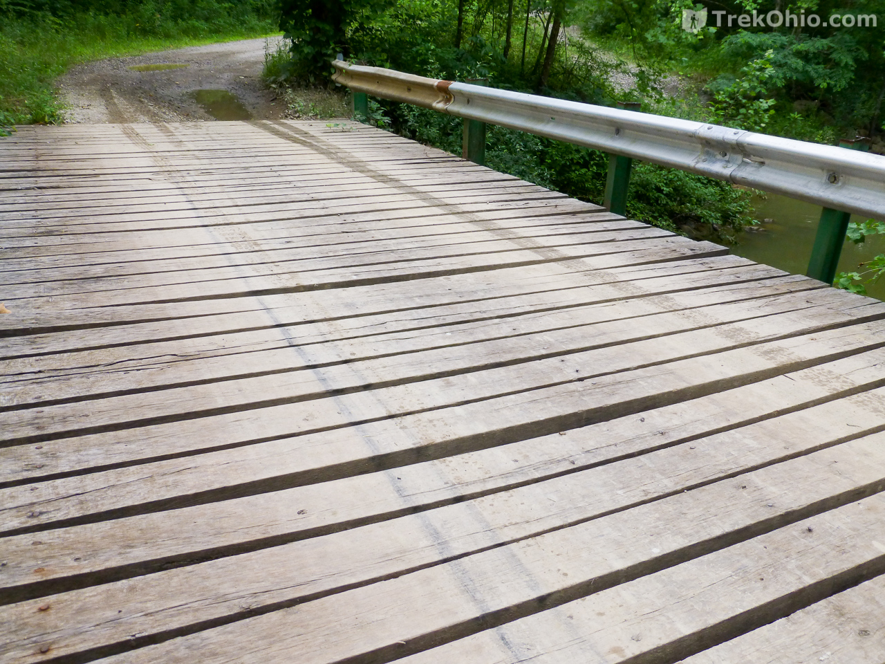
Portions of this drive seem a bit off-putting. There was a part where it feels like you are just driving into someone’s farm, but you are just going through it. There’s another part where you drive right through the middle of an abandoned quarry. It looks like sand and/or gravel had once been quarried here. And there’s another part where you drive across the road pictured below.
If you go after the foliage has dropped, you will see the trestles of an old bridge some distance in the woods to your right. But keep going and eventually you will come across a similar bridge to the right that is just off Stone Quarry Road. Someone tied a colorful piece of vinyl to a shrub to draw attention to it. Immediately south of this bridge there is parking to both the left and right, which also means that there is enough room here to easily turn your car around for the drive back.
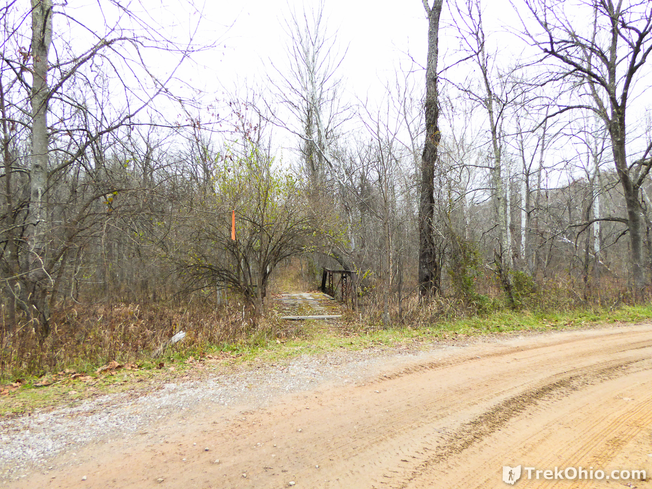
Here are a couple photos of the footbridge over Elk Fork that leads to the furnace. As you can see it is in disrepair. For my part, I just watched where I was stepping and tended to walk on the boards that were immediately above an iron girder.


After crossing the bridge you will enter a foot path. At one point you’ll see a side path that goes to the other dilapidated bridge in the middle of the woods that you might have noticed earlier. Don’t go down that way. There is even a barricade preventing you from crossing the bridge, and this second bridge actually leads away from the furnace.
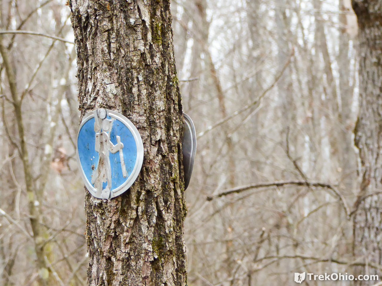
Soon you will start seeing medallions on the tree that are blue with a hiker depicted in the middle.
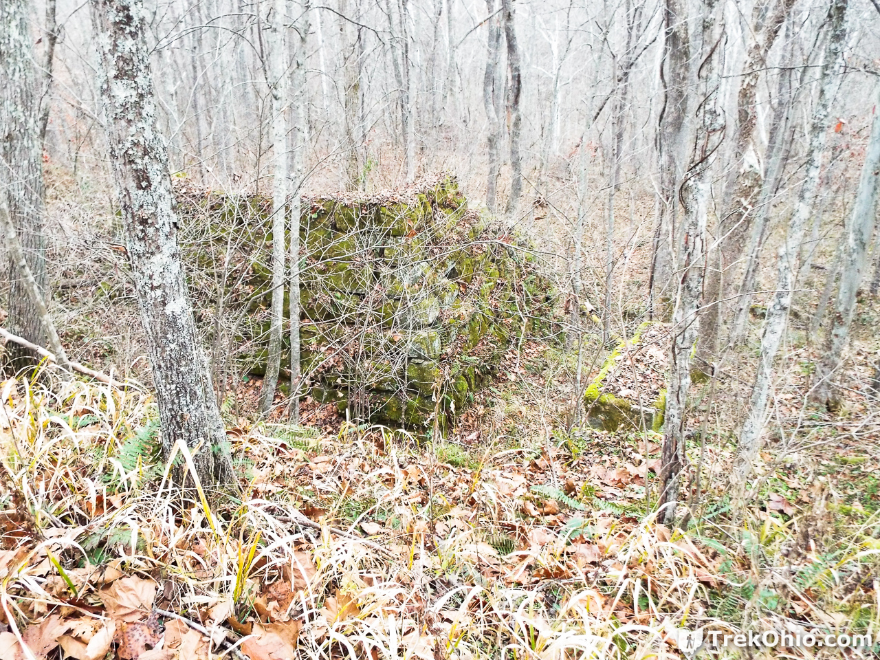
You will be approaching the furnace from ground level. Your first glimpse of the furnace looks something like this:

There is a foot path leading to the left and up that will take you above the furnace. You’ll see more blue medallions marking the way. When you get above the ruins of the furnace and look down, you’ll see this:
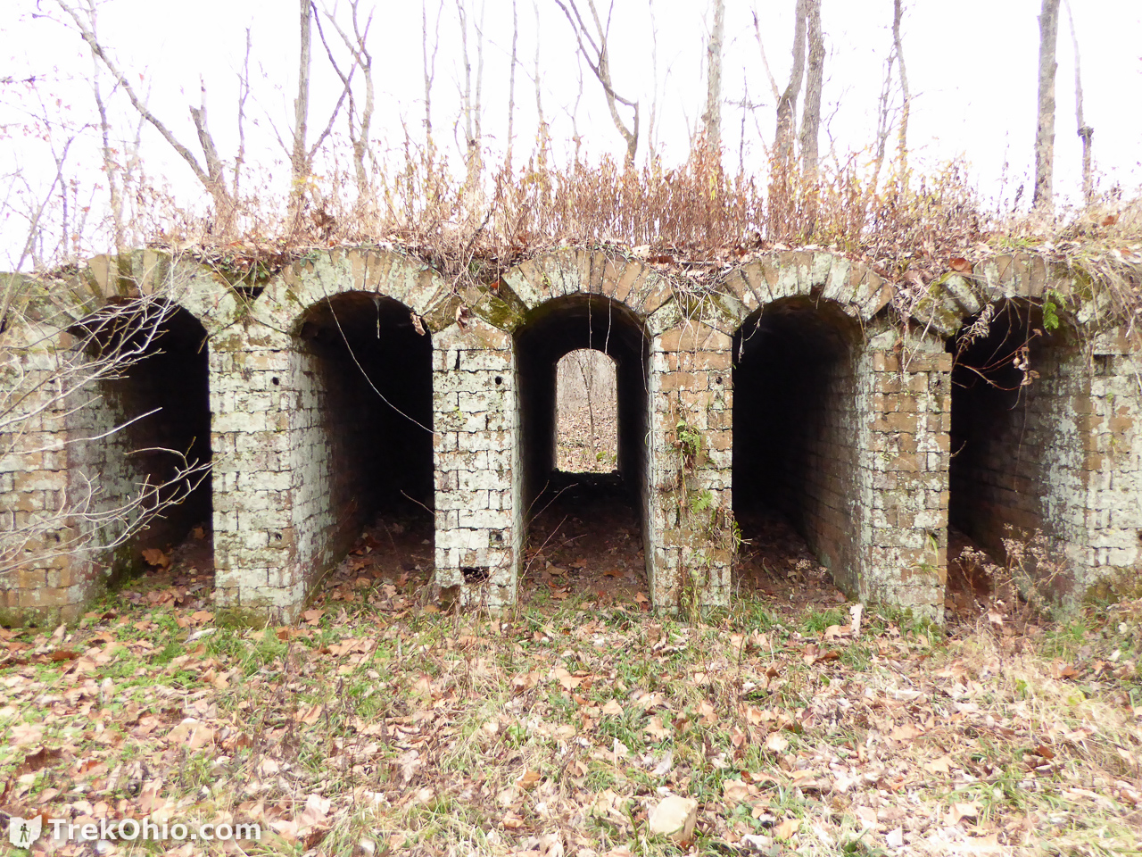
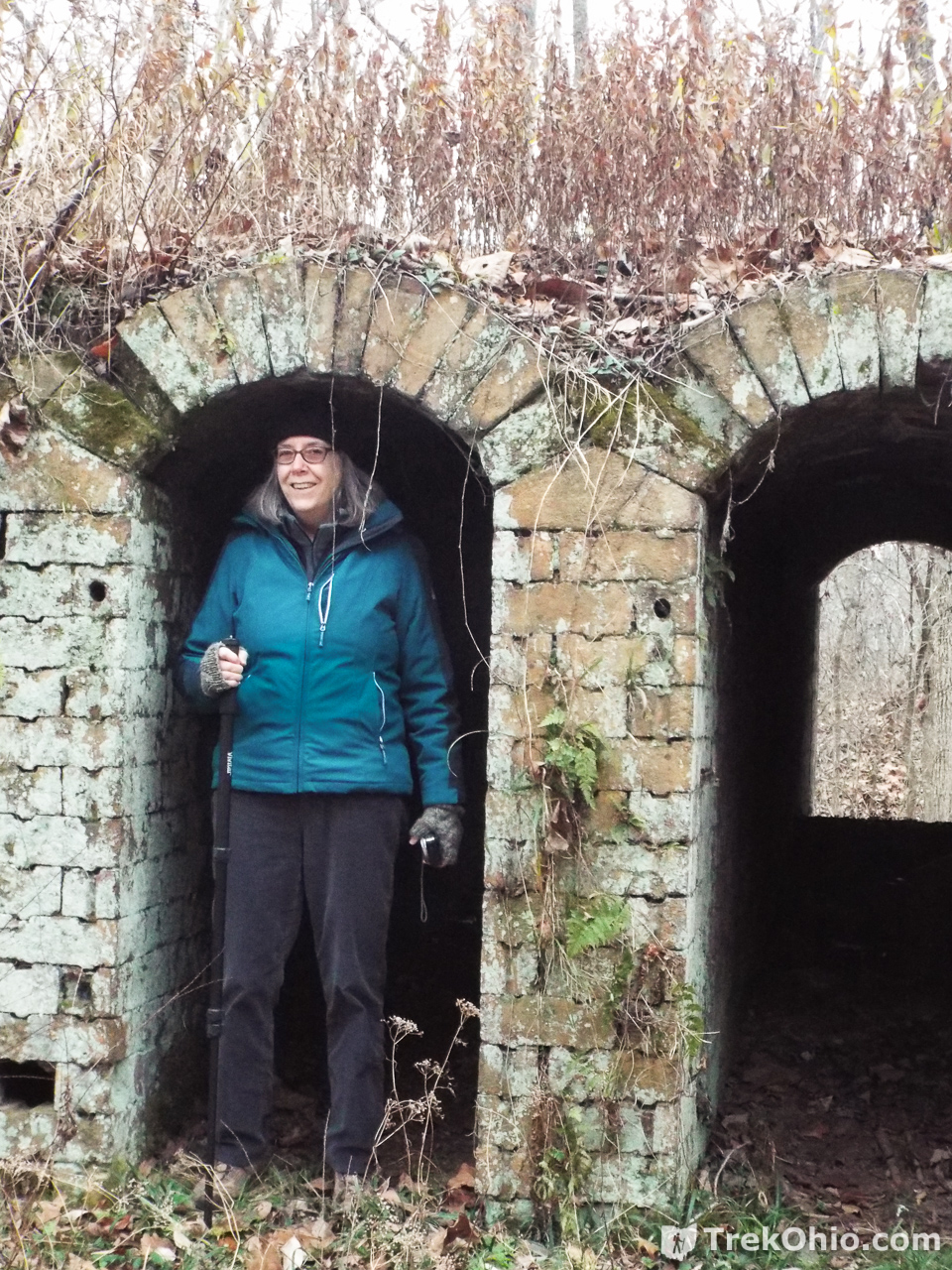
If at this point you turn around 180°, you’ll see more ruins off in the distance and slightly higher than you. These are the ruins of the Belgian coke ovens.

You can continue on the foot path which will take you to one side of the ovens.
According to archaeologists, the mouth of the oven is supposed to be about 5 foot 10 inches.
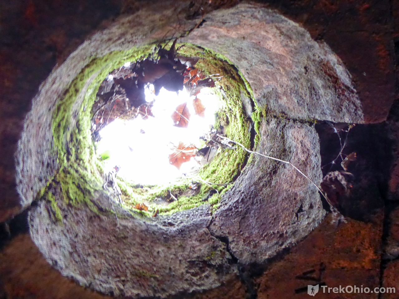
Looking up from inside one of the ovens… I don’t know if this was a chimney or something else.
The path continues round to the other side of the ovens. If you keep going you’ll complete a small loop, then you’ll be on the trail that goes by the ruined footbridge and leads you to the dilapidated footbridge that you have to cross to get to your car.
All and all we thought the hike was interesting. If we make it back we’d like to try seeing the actual “Watch Rock” and also “Arch Rock.” Arch Rock is identified on the forest’s official map, but it looks as if “Arch Rock Road” doesn’t go the whole way to it. However after seeing that “Pine Run Road” went a considerable distance beyond its end on the map, it could be that there is some sort of trail the whole way to the arch.
Additional information
- TrekOhio: Vinton County Parks & Nature Preserves — This is the country where Vinton Furnace State Forest is located; check here for official links and information on nearby parks and preserves.
- TrekOhio: Buckeye Furnace and Ohio’s Nineteenth Century Iron Industry — Provides information on what one of these furnaces was like while in operation.
- TrekOhio: Lake Hope State Park — We were staying at a cabin here when we made a day trip to see Vinton Furnace State Forest. Lake Hope is about 40 minutes away.
- WayMarking.com: Arch Rock – Vinton County, Ohio — photos, description and location of Arch Rock.
- OldIndustry.org: Vinton Furnace & Belgian Coke Ovens — Discusses the technology and the archeology of the ruins in detail.
- Wikipedia: Blast furnace — States that in 1709 Abraham Darby developed that process which allowed coke to be substituted for charcoal in blast furnaces.
- Wikipedia: Pig iron
Location
- Parking area leading to Forest Headquarters
-
- Address: Experimental Forest Rd., Wilkesville, Ohio 45695
- Directions: From McArthur, Ohio travel south on OH-93, take OH-324 south, then get on Sam Russell Rd which will eventually turn into Experimental Forest Road and dead end near the gate with the parking area.
- GPS Coordinates: 39.191171, -82.405472
- Google Maps: View on map or get directions
- Parking near the footbridge to Vinton Furnace
-
- Address: Township Hwy 8 (also known as Stone Quarry Road), Albany, Ohio 45710
- Directions: From the intersection of US-50 and Stone Quarry Road, turn south onto Stone Quary Road and drive for about 2 miles. Around this point you will see a dilapidated bridge to your right, and shortly after that room to pull off the road and park on the left.
- GPS Coordinates: 39.215917, -82.404434
- Google Maps: View on map or get directions
More on Vinton County
 Vinton Furnace State Experimental Forest: Watch Rock
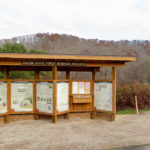 Zaleski State Forest: The Backpack Trail from Hope Schoolhouse
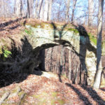 Vinton Furnace State Experimental Forest: Arch Rock
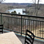 Lake Hope Dining Lodge
Adolescents didn’t push over the gravestones. Time did.
Deb, do you know if there is a way to hike from the forest headquarters to the furnace and Belgian ovens and back? Looks like it could be possible, to avoid driving all the away around. Thanks,
Jeff, I’m kind of in a bind when when it comes to answering your question since I didn’t complete the hike to the furnace. I’m guessing that it is possible based on the way the GPS trace looks, but that’s basically coming to the same conclusion that you came to from looking at the GPS trace. Not having completed the hike to the furnace, I don’t know if there is an insurmountable barrier toward the end.
Not a problem, I ended up calling the forest manager and she gave me some pointers on getting from the HQ building to the furnace/ovens, and said it’s about a 3 mile hike, mostly on the road surfaces. I think I’m going to try it as soon as the hunters clear out a little. Thanks!
What a great summary of this area! Thanks for sharing. Shame about the cemetery.
Stacy, thanks for your feedback!