Among the trails available at Vinton Furnace State Experimental Forest, there is one called “Watch Rock.” If you look at the official map, there is a side trail to a “starred” feature that itself is called “Watch Rock”. Since we were unable to find a description of what “Watch Rock” was, we could only guess. We figured it was a rocky promontory overlooking a scenic vista, but of course we didn’t know for sure. To add to the mystery, during a previous hike we reached the end of the Watch Rock trail without ever seeing the side trail. So this spring we decided to give it another try.
Getting Oriented
Here is the official map of the Vinton Experimental Forest.
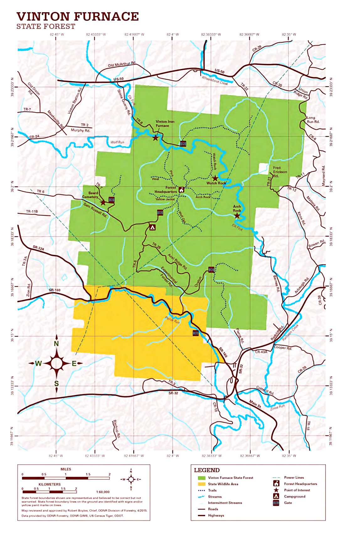
Below I’ve extracted the central part of the official map of Vinton Experimental Forest. Note that there are three stars on the map below. If we have already described the feature, I link to the associated article. Starting from the upper left and going clockwise, the stars point to:
- Vinton Iron Furnace
- Watch Rock, the objective of the current hike, and
- Arch Rock

In our most recent hike, we accidentally started out on Arch Rock Trail for a short while before we realized our error. On the map, there is a red “X” icon where we started heading off in the wrong direction. After our course correction we headed out on Watch Rock Trail, and once again walked to its end without seeing any signage for the side trail to Watch Rock. But since we knew it was on the eastern side of the trail, on the way back we went down every side trail that we came across figuring that one of them must lead to Watch Rock. Below is a trace of our hike.
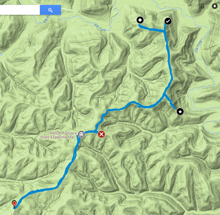
In the above map, there are six icons: the upside-down teardrop icon at the bottom is where we parked. The gray icon depicting a building shows the location of the headquarters for the experimental forest. The red icon with an “X” shows our mistaken turn onto Arch Rock Trail. Finally there are three black icons showing the endpoints of the three side trails that we pursued. Since we waited till we reached the end of the main trail to start exploring the side trails, we explored them in a north to south order, starting with the black icon with the white diamond, then the black icon with the white checkmark, and finally the black icon with the white star. The round-trip hike was 5.78 miles in length.
Outbound Hike
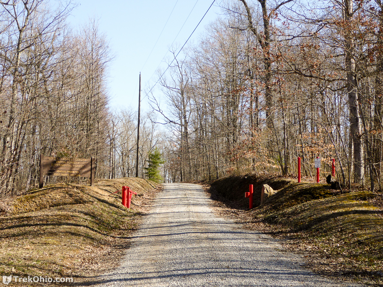
The main trails are essentially forest roads that are closed to public traffic. It is about a mile from the visitor parking area to the headquarters. Since we last visited the staff seems to have improvised a corral in the parking area out of old sign posts.

Here are a few views of the main trail.
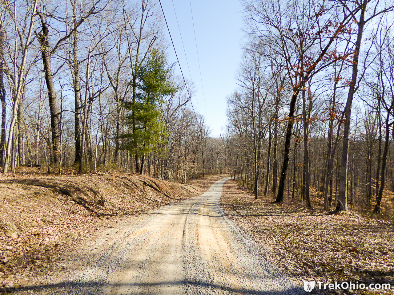
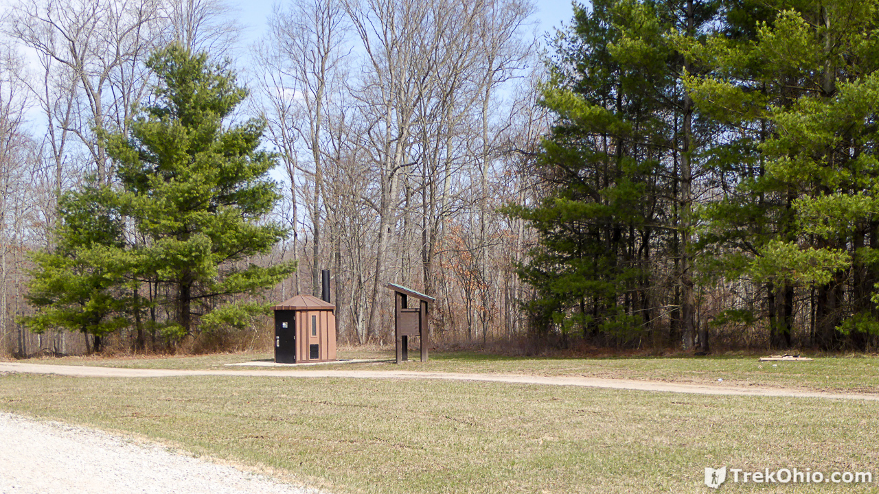
The headquarters area has a number of buildings, a picnic gazebo, and a couple of public, vault toilets. Continuing down the trail past the toilets there is slight hill with some sort of aparatus on top of it. Just past the hill the trail splits. To the left is the Boneyard Trail and to the right is the Watch Rock Trail.
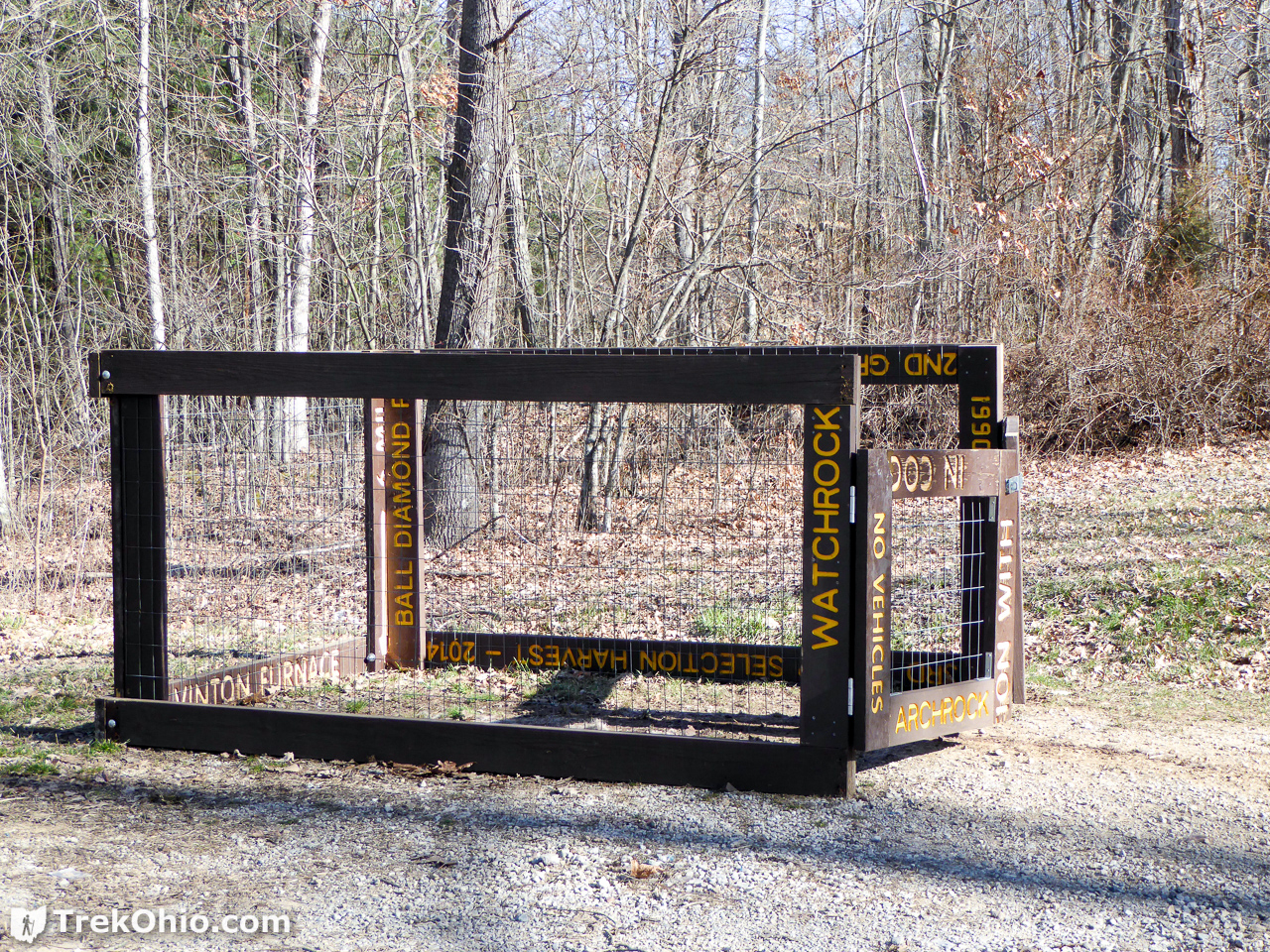
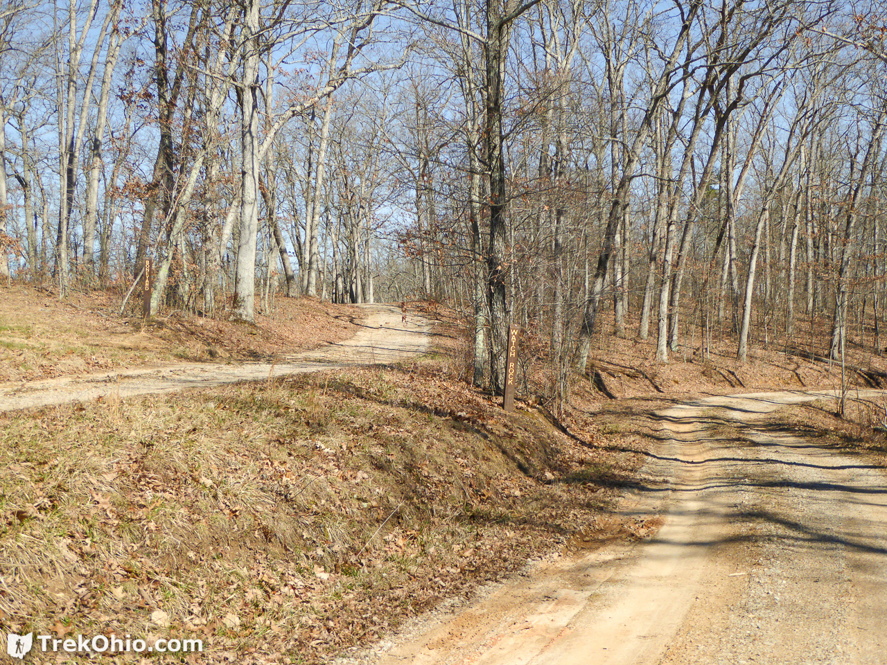
If you click on the photo below so that you can see a larger version, you’ll note that there are vertical sign posts naming the two trails after the split.
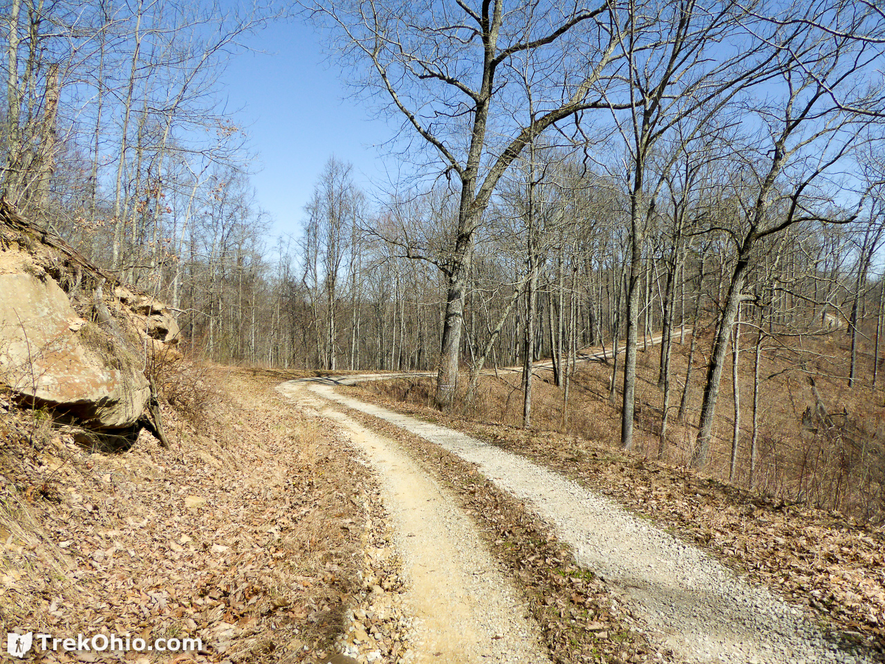
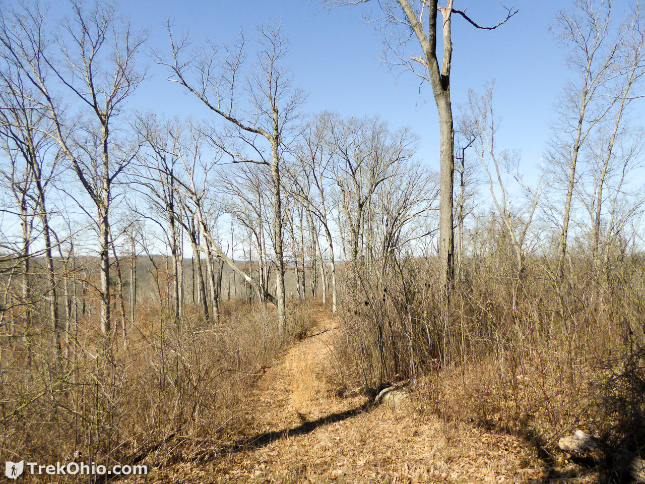
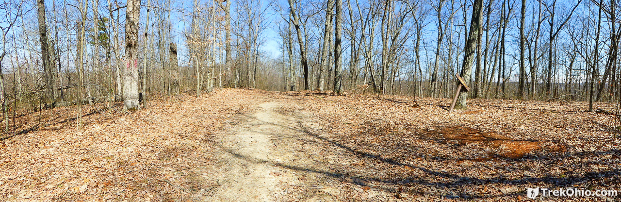
The trail follows the curve of the ridgeline. Below is a photo of Watch Trail.
When you come to the end of Watch Trail, it looks like this:

Northern-most Side Trail: Diamond Icon
This was right off the end of the main trail. Below is what the first side trail looked like.
In this area the researchers appear to be studying the effects of controlled burns on forests. However, we didn’t see any feature that made us think, “Watch Rock.”

After checking it out we turned around and traveled southwards on the main Watch Rock Trail. There were two more side trails to explore. Each of the side trails were themselves on “mini-ridges” which we descended onto from the main ridge line.
Middle Side Trail: Checkmark Icon
When viewed from the forest road that is Watch Trail, here is what the second trailhead looked like.
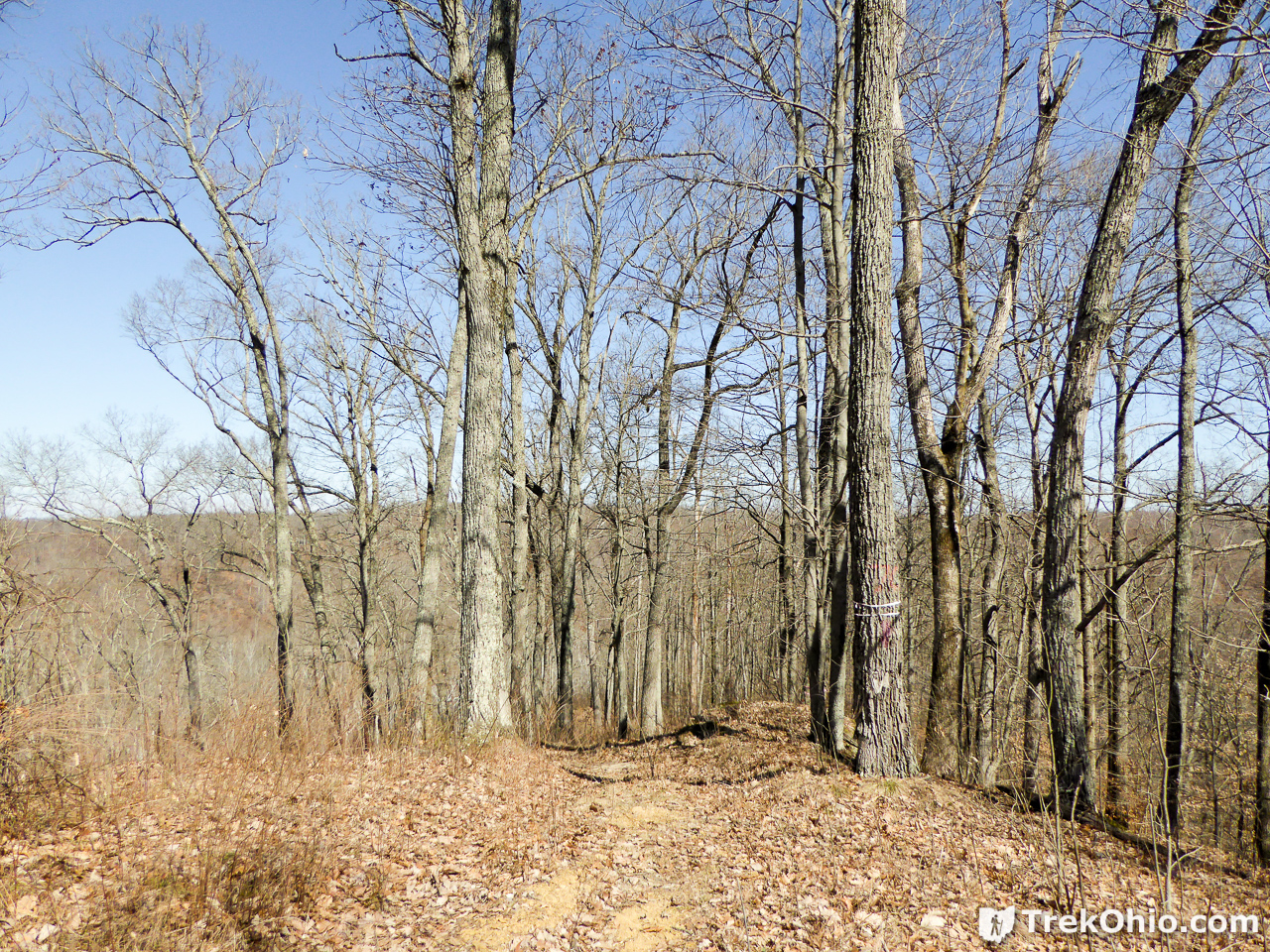
The trailhead is between two trees. The one on the right has a white ribbon around it, plus it is marked with red paint. I assume that it has been targeted for removal because it is diseased. Since it may not be there when you visit, below is a shot with a wider angle to give you more context.
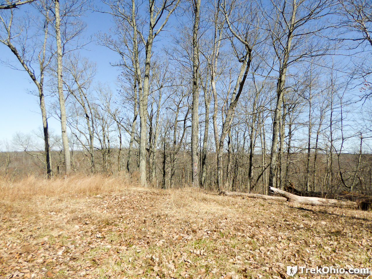
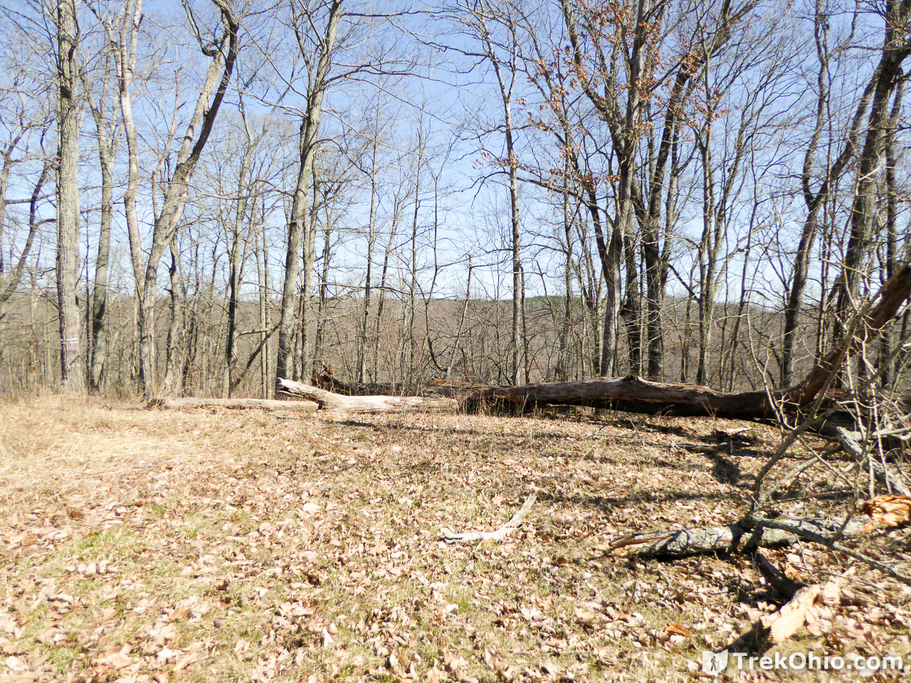
And since I think it is more likely that those logs on the ground will still be there than that the tree with tape around it will be there, here is another look at them.
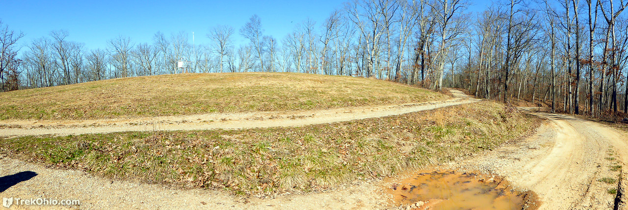
As you descend the second trail you will come across man-made, earthen ridges that I believe were put there to slow erosion of the path. Below is a panoramic photo that I took while descending the side trail which is located to the right in the photo.
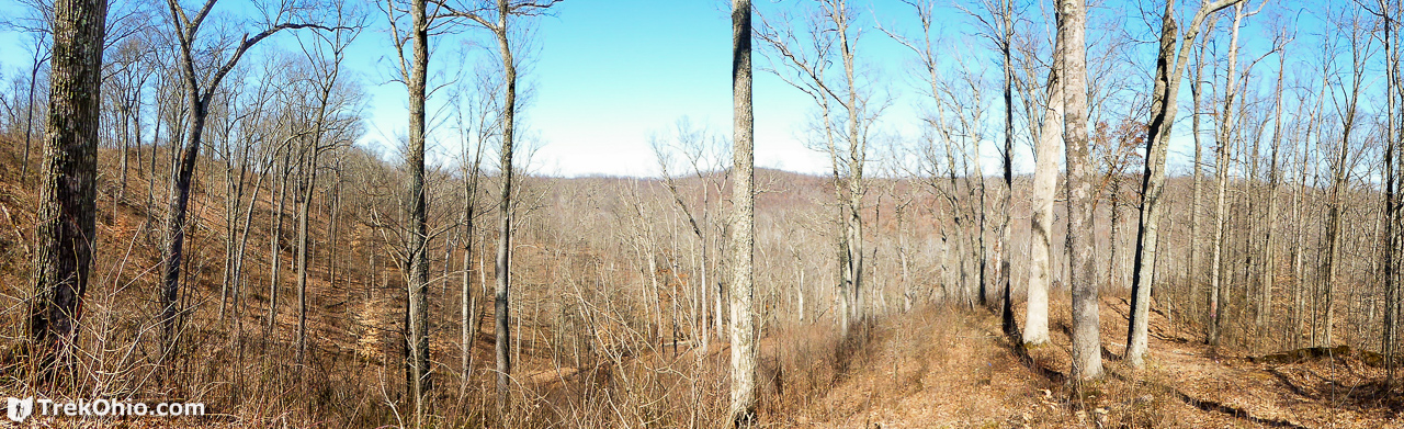
So as I am descending this second side trail, I don’t see any rocky promontory that might aptly be called a “Watch Rock”. However on the other side of the valley, a rocky hilltop catches my eye.

In the above photo, the scene that is depicted is pretty much what it looks like to the naked eye. Below I zoomed in on it with a telephoto lens.
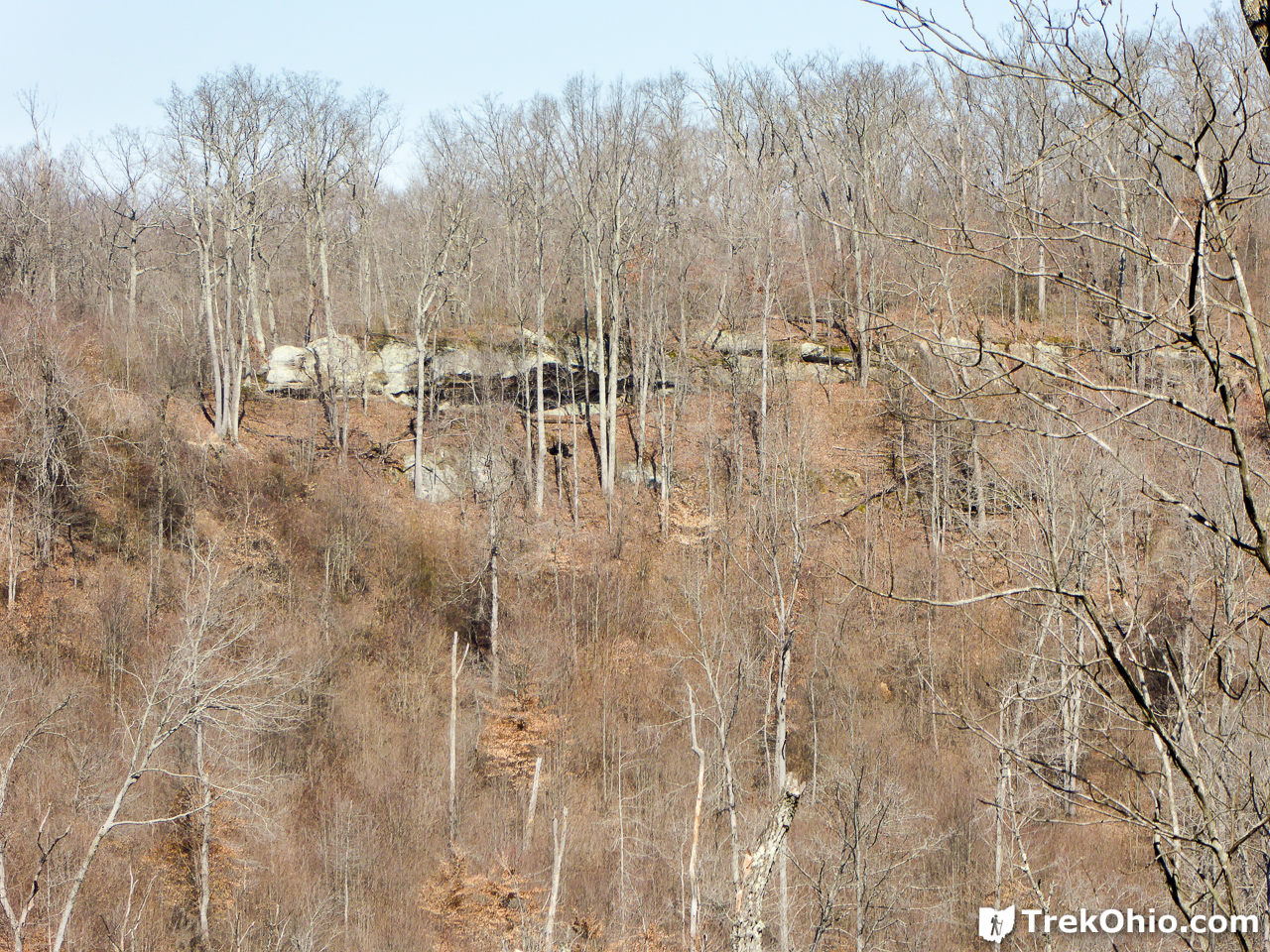
So if you lived out west, I suppose that would be nothing to brag about. However for Ohio, I thought that was an impressive display of exposed bedrock. So I began to wonder if the “Watch Rock” is a rock you can watch across the valley as opposed to a rock that you stand on as a vantage point for looking into a valley. It is at this point that I bet Bob a dollar that this was in fact Watch Rock. He took me up on the bet, insisting that we still hadn’t come across the true “Watch Rock” yet, which he was sure would be a rocky vantage point from which you would take in a vista. So onward we went.
Southern-most Side Trail: Star Icon
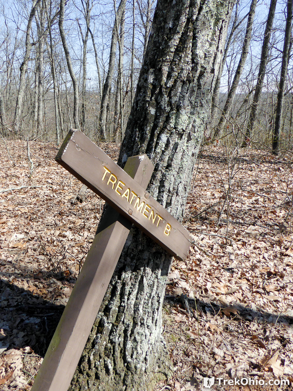
This is the trail head for the southern-most, side trail. There is a sign there that states “Treatment B”.
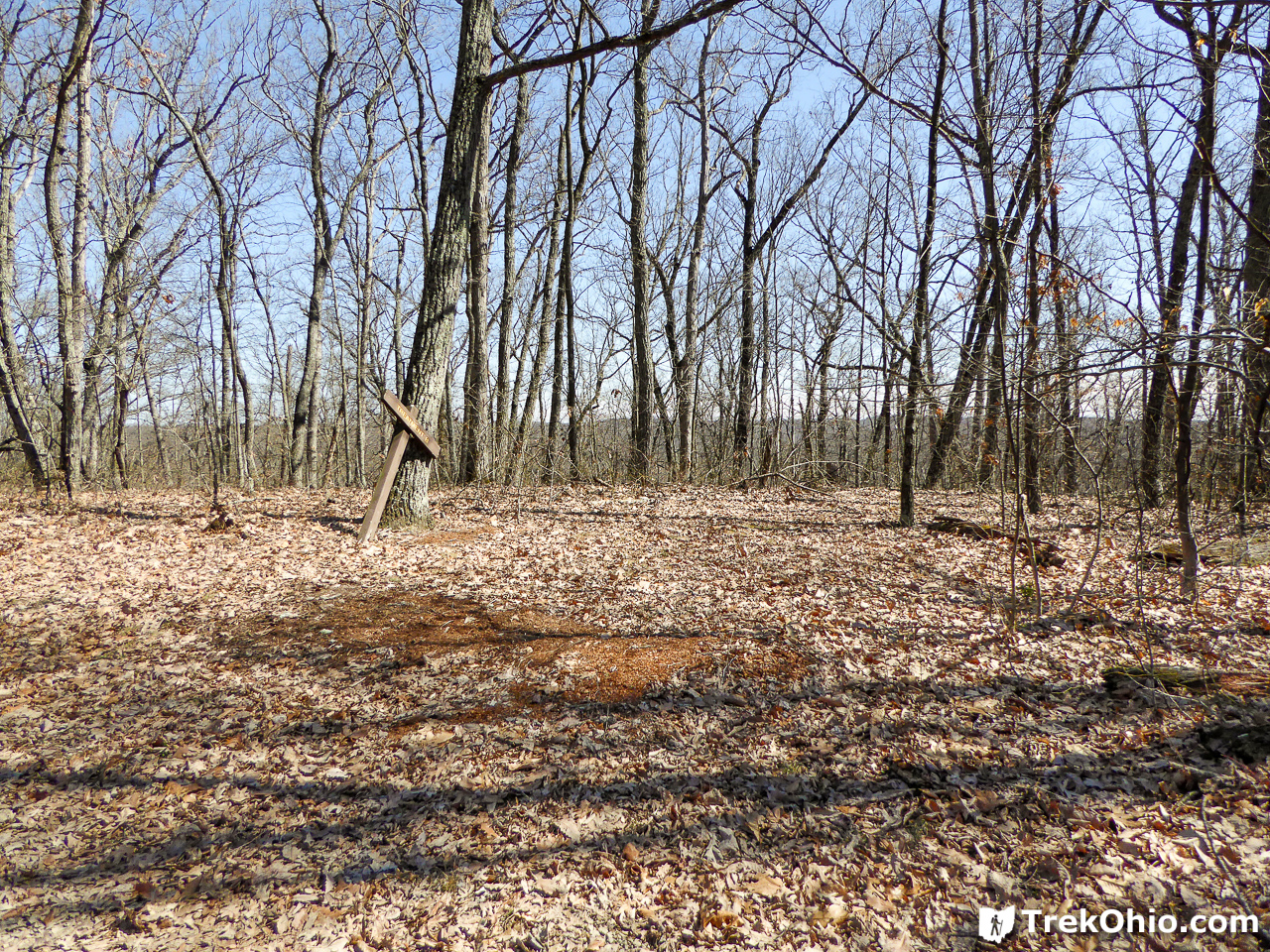
And here is a panoramic photo to give an even broader view of the area. The sign and the trailhead are to the right. This was taken on Watch Rock Trail just south of the trailhead.
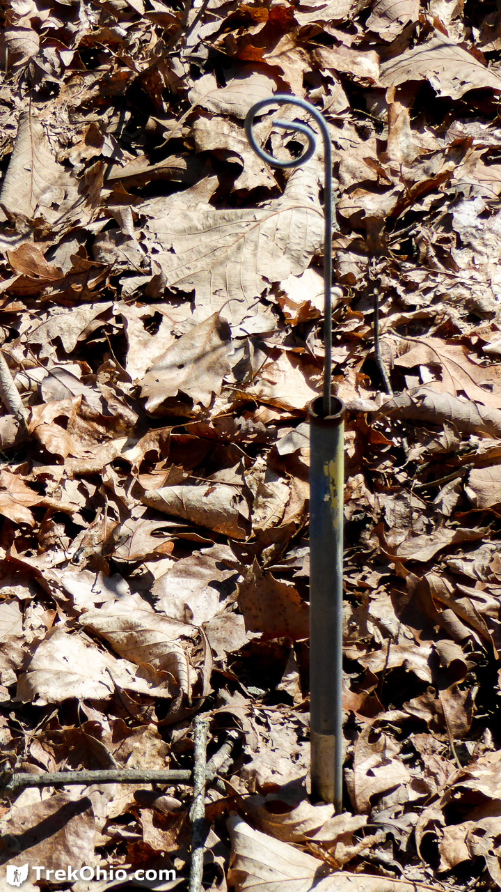
Shortly after entering the trail, we came across some pipes embedded in the ground that must be part of “Treatment B”.
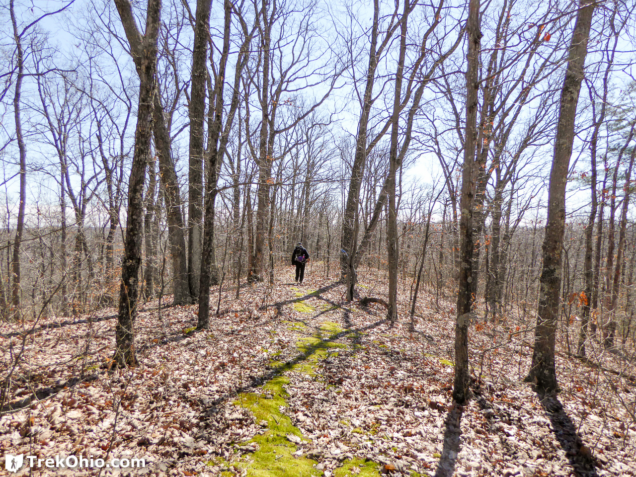
As we went along the trail, we went through a mossy area that was unique. None of the other side trails were like this.
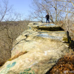
As we proceeded I began to see rock outcroppings to the side of the trail.
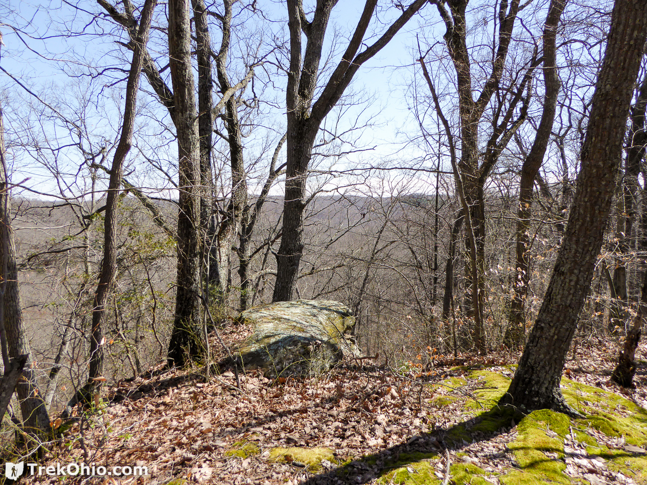
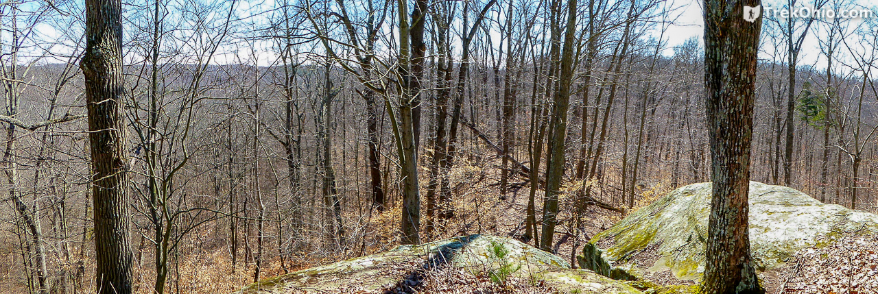
And the trail ended at the rocky promontory below.

Here is a panoramic photo of the area.
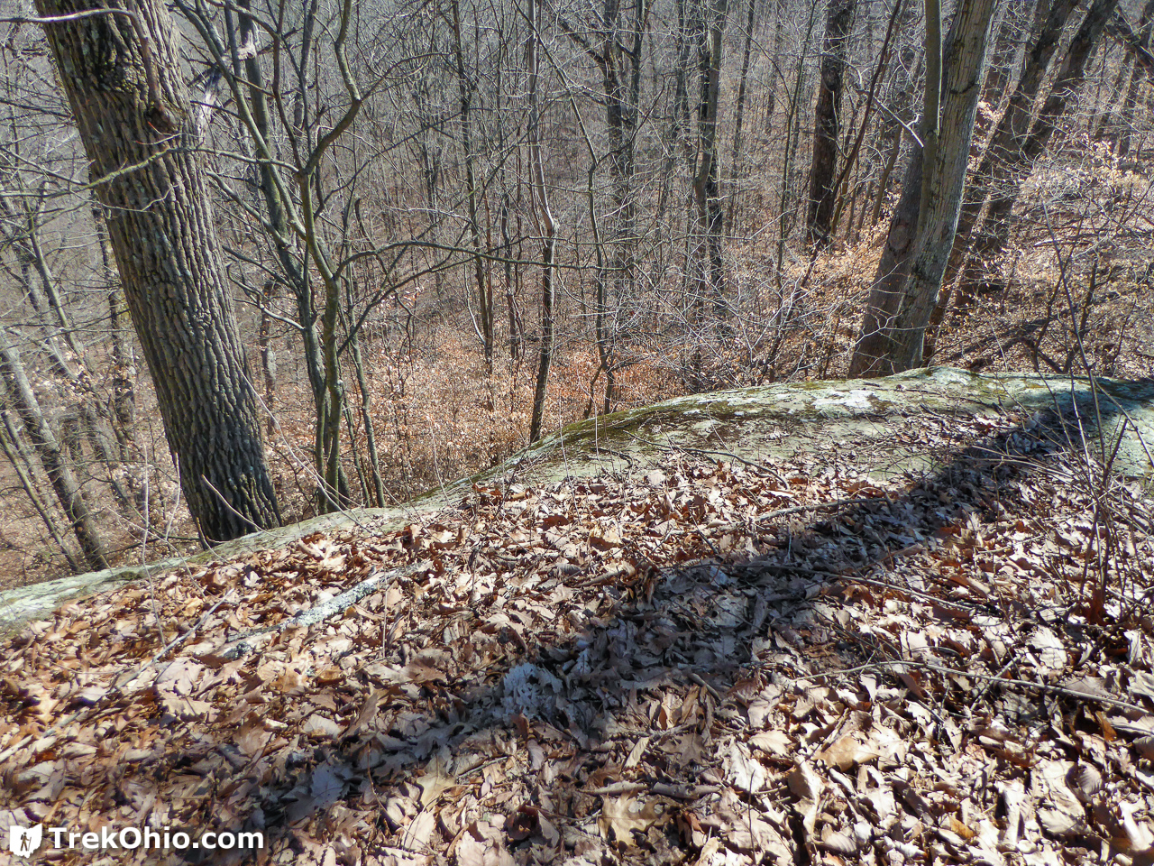
Below is a look past the edge on the left where there appeared to be the steepest drop.
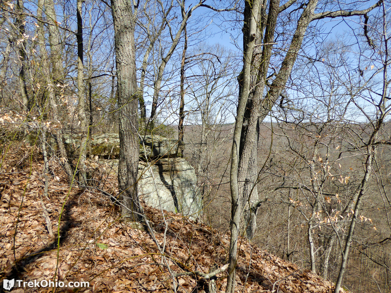
And on the way back you could see another rocky cliff to the side.
Since this conformed to our original expectation that “Watch Rock” would be a rocky overlook over some low land, I conceded that Bob had won the bet, and I forked over a dollar.
In addition the GPS trace for this point seemed to line up well with the point on the map for Watch Rock.

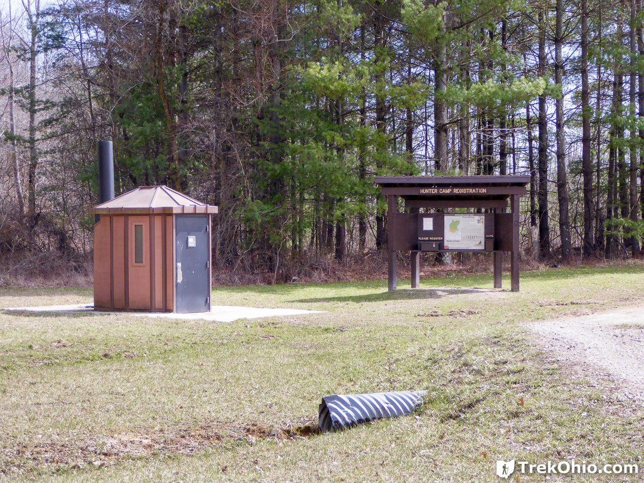
Hunters Camp
As we were driving away from the parking area while still within the forest boundaries, we passed by the Hunters Camp. I had published a few photos of the camp in July in our original post on Vinton Furnace State Experimental Forest, but it was all scruffy and unkempt then. However, this time it was nicely manicured, so I thought I’d share a couple of photos of the campgrounds.
Additional information
- TrekOhio: Vinton County Parks & Nature Preserves — This is the county where Vinton Experimental Forest is located; check out this page for links to the official website and for information on nearby parks and preserves.
- TrekOhio: Vinton Furnace State Experimental Forest — This is our original post on Vinton Experimental Forest. It contains information on the location of the forest and where to park. It also contains information on the ruins of the iron furnace and its unique coke ovens.
- TrekOhio: Vinton Furnace State Experimental Forest: Arch Rock — This geological feature is probably my favorite feature in the forest.
- ODNR: The Science Behind Controlled Burns

Hi Deb:
I can confirm that the rocky ledges you describe in this article are indeed Watch Rock in Vinton Experimental Forest. Ray Showman, one of Ohio’s top lichen experts, took me along the ridge trail to Watch Rock last year and showed me many species of lichens, including several now in my website “Lichens” gallery labeled as “Vinton County”. Ray has a permit and we were able to drive my 4Runner to the “Treatment B” sign. The rock in my “Rock Greenshield” photos is also shown in one of the photos in your article.
Have a great spring!
Ian Adams