Thayer Ridge Park features a picnic area (without restrooms), a frisbee disc golf course, and some multi-use, dirt trails going through woodland and meadows. The trails are open to horseback riders, mountain bikers and hikers. I have hiked there twice (in April and in August); in my opinion the trails are probably best suited for those on horseback.

On each of my two visits it was clear that the trails were being used regularly by riders. Here’s why I think the trail conditions are less than ideal for hikers.
- If it has been raining, horse hooves easily dig up an unimproved dirt trail resulting in a muddy mess for those on foot.
- The undergrowth crowds into some portions of the woodland trail which increases the risk of brushing up against poison ivy.
- In August the meadow portion of the trail hadn’t been mowed at all. Hikers who push their way through the tall grass will be at increased risk of getting ticks.
With that said, let’s take a look at the park.
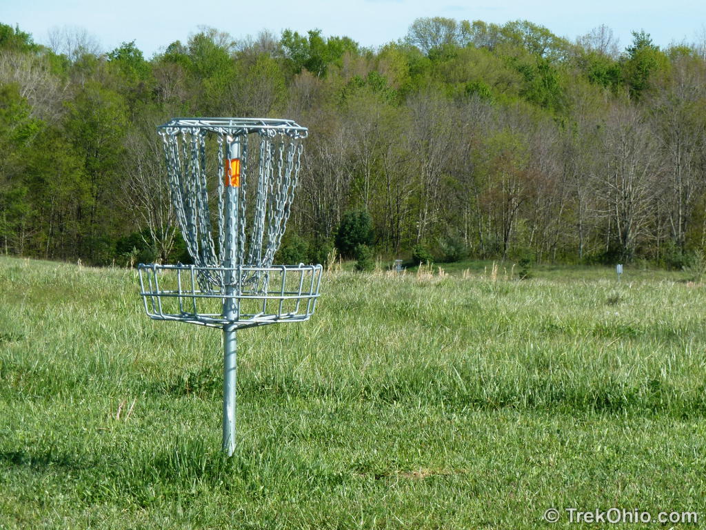
Frisbee Golf
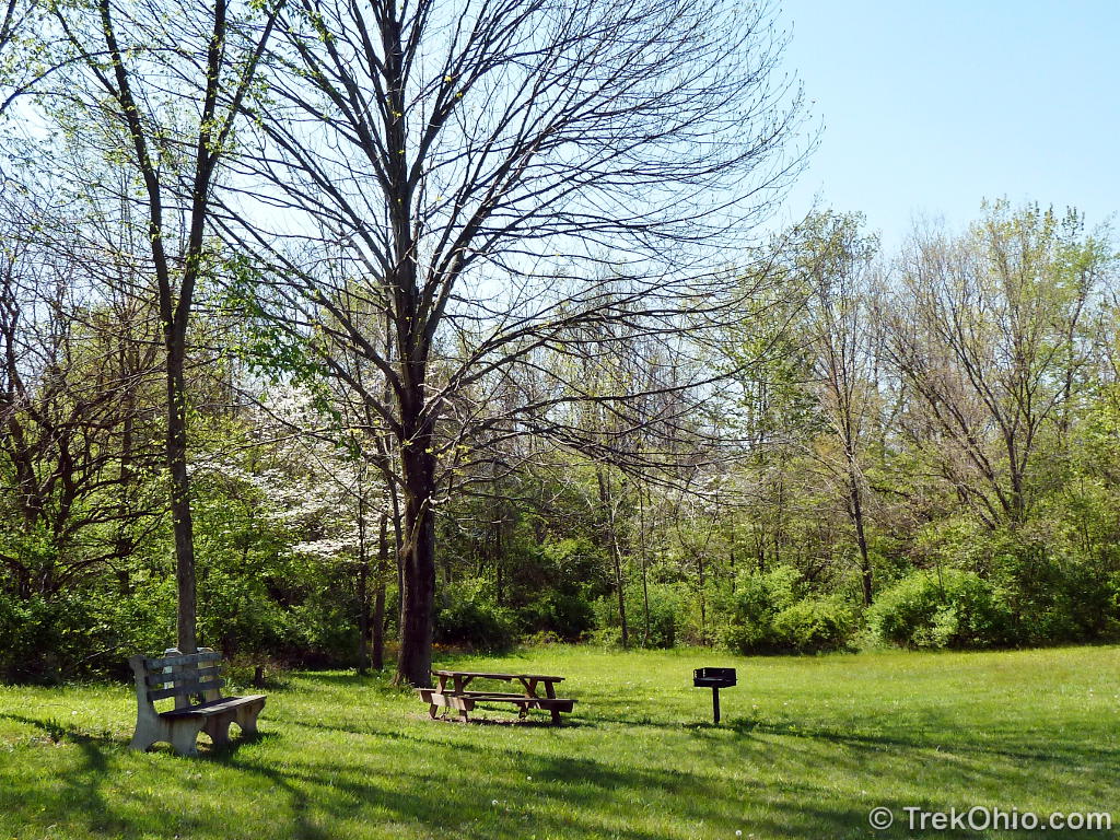
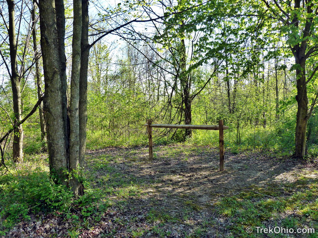
There is one trailhead to the north of the picnic area and two to the west. Just to the south of the picnic area there is a fourth trailhead off an adjoining parking lot next to a hitching post. If you are interested in playing frisbee golf, you want to follow the northernmost trailhead. There’s a frisbee golf hole within sight of the parking lot, so you’ll know which way to head. If you haven’t played the game before, the rules and a map of the course are printed on a park brochure that you can pick up at the kiosk near the parking lot.
The little, inner loop
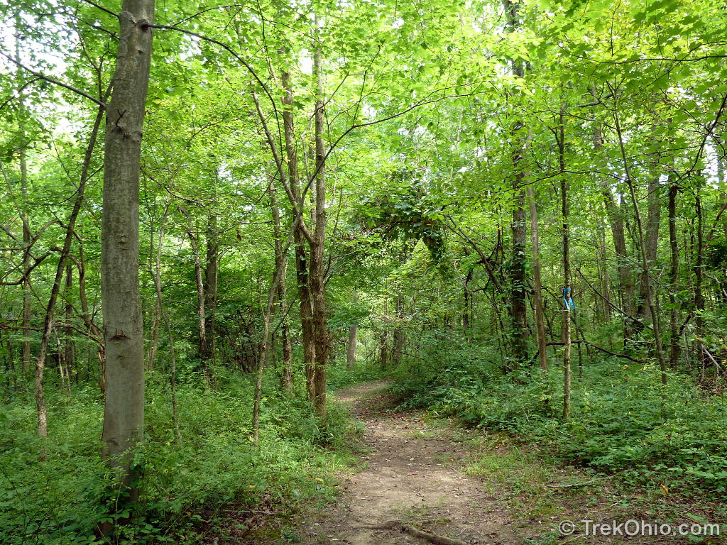
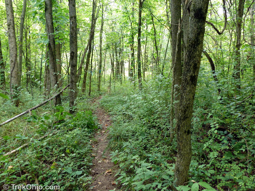
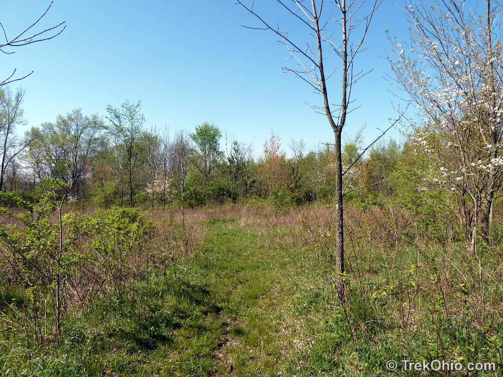
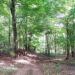
There are two trailheads on the west side of the picnic area that lead to what I’m calling the Little, Inner Loop. They are a bit difficult to see from the parking lot, but you’ll make them out as you walk along the treeline. I’d recommend this trail if you’d like to go on a pleasant walk through the woods on a relatively wide, cleared path. There are a number of junctures where you can get off the little, inner loop. The easiest way to stay on it might be to start on the trailhead just south of the frisbee golf trailhead and whenever you come to a juncture, stay to the left. This will lead you counter-clockwise around the loop and you’ll come out in the same picnic area on the third trailhead. Here are some things that I saw while exploring this short trail.
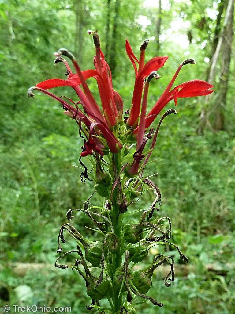
The Cardinal flower is what inspired my second trip to Thayer Ridge. Although this is supposed to be a fairly common flower, I hardly ever see it while I’m hiking. But the flower was featured prominently on a sign next to the park’s kiosk; the sign said that the cardinal flower could be seen blooming here in August. I was hoping that I would see lots of these flowers in August, but I only spotted four plants there were about 15 feet to the side of the little, inner loop trail. Still I was glad to see them.

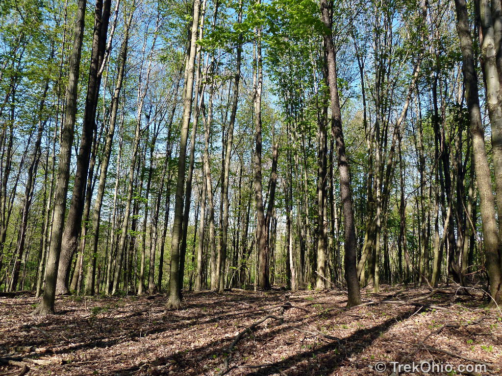
The outer trail
This is my unofficial name for the trail that starts at the southernmost trailhead not far from a hitching post. It begins by going west then turns north going out and around the little, inner loop. After bearing north this trail has many branches, so there’s no single, clear-cut route for exploring it. This trail passes through:
- little spindly saplings,
- more developed woodlands with a lot of undergrowth,
- other woodlands with almost no undergrowth, and
- meadows.
I spotted lots of poison ivy growing on the ground both at the edge of the trail and sometimes inside the trail.

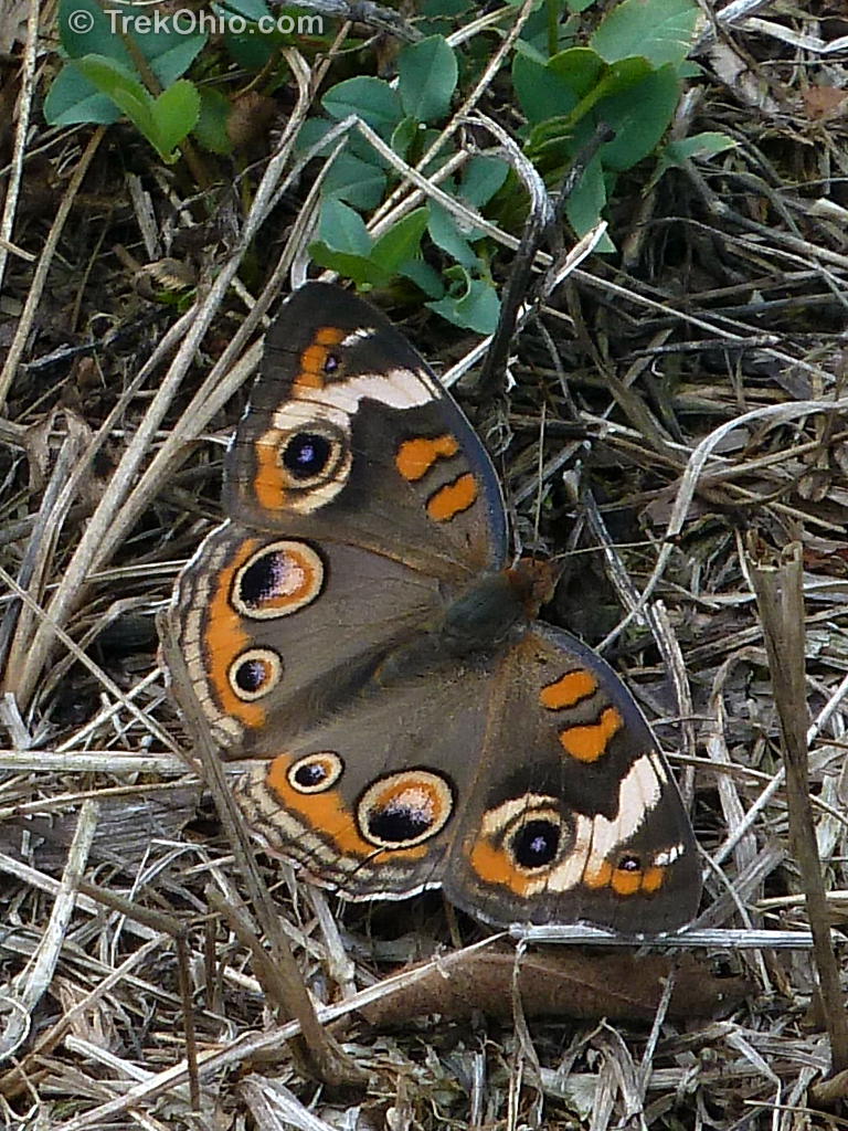
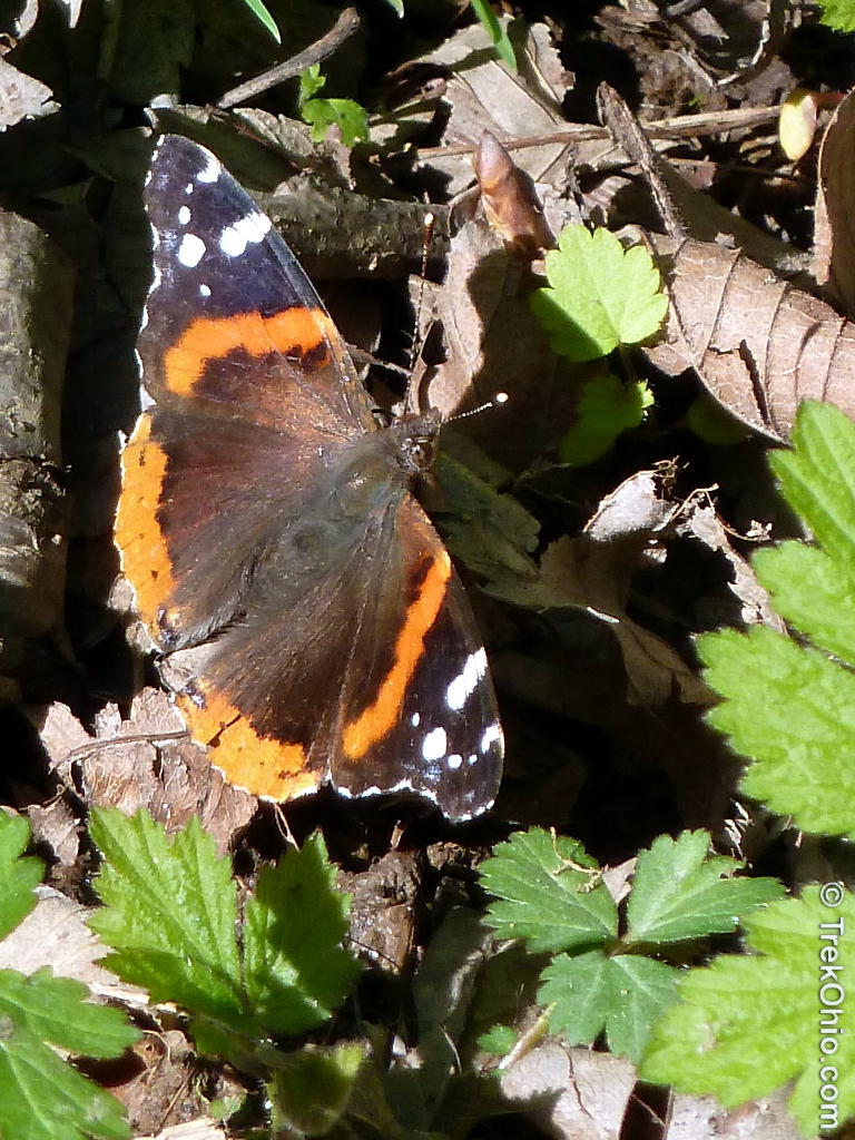
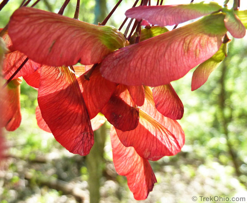
We recently published a post on poison ivy where we listed a number of mnemonics for identifying it. The photo above (taken in April) illustrates this one:
Red leaflets in the spring, it’s a dangerous thing.
The dark red leaflets in the upper right are the newest poison ivy foliage. The leaflet just above the butterfly is older and is starting to turn green. The larger, greener poison ivy to the lower left only has some red edging its leaflets.
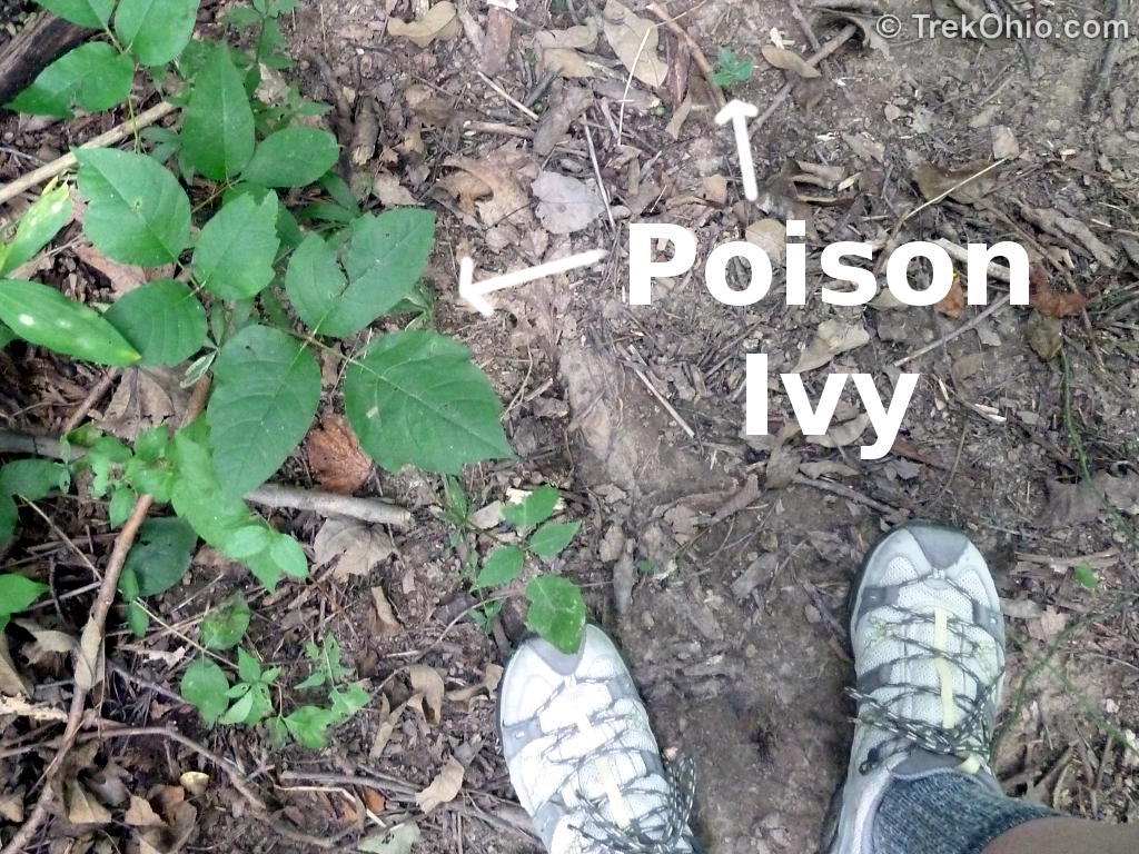
I did see some poison ivy in the middle of the trail in a number of places. It was too small to reach any of the exposed skin on my legs. But if its resin were to get on my shoes there would be some risk of spreading it to my hands when I took my shoes off.
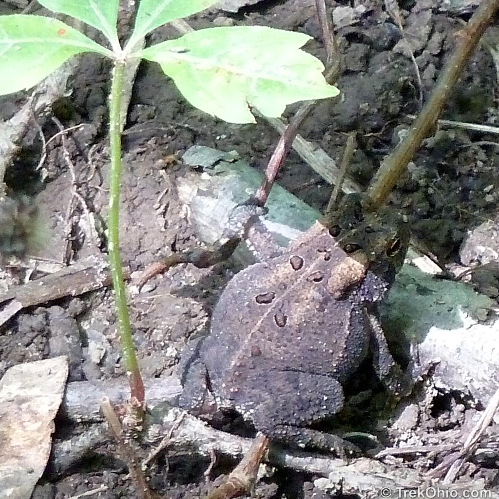

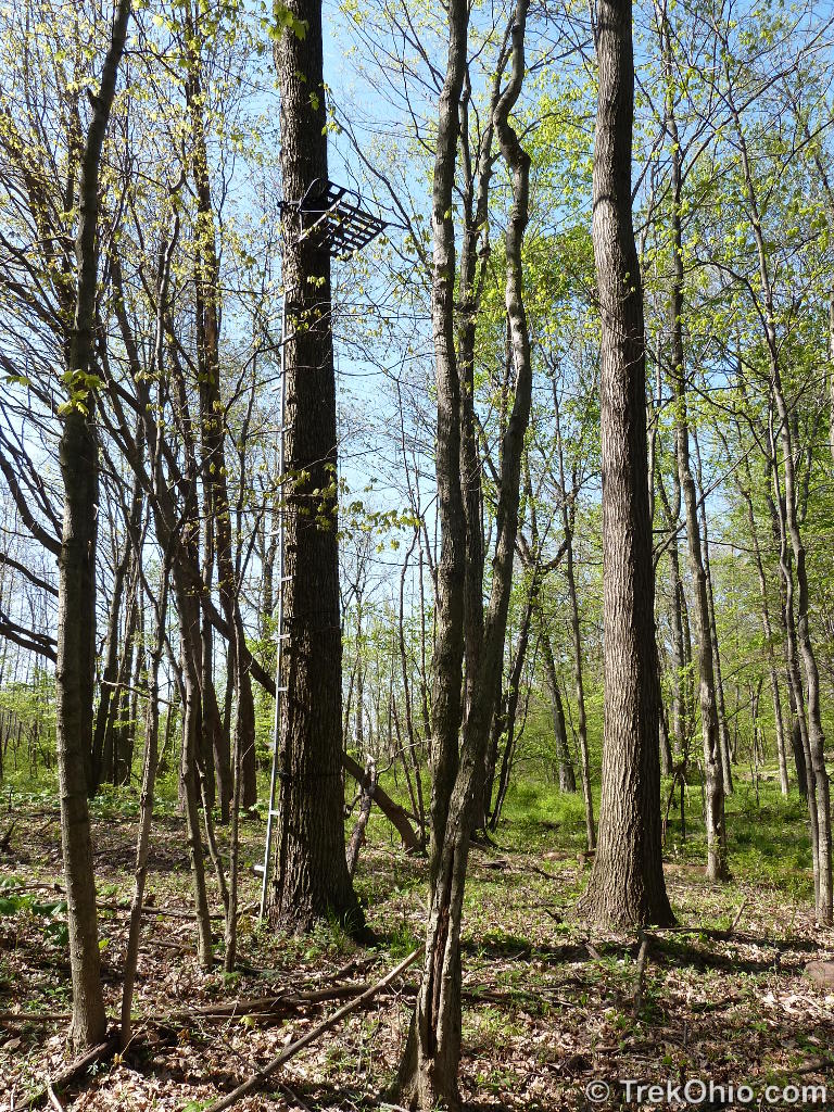
I walked by a number of deer stands like the one pictured above. I believe they were on private property just outside the park’s boundary. Deer are plentiful in this area. While I was hiking in August I caught sight of a doe and her large, but still spotted, fawn.
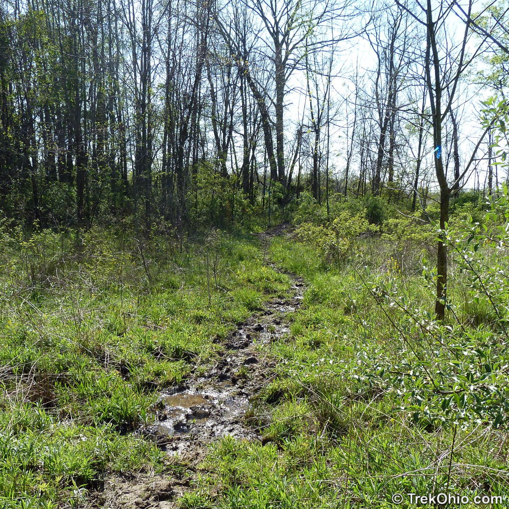
Meadow Trail
What I’m calling the meadow trail is a branch of the outer trail. When I was there in April, the trail was bit wet and muddy, but it looked like it had been mowed. I saw a number of dogwood trees in bloom near the forest’s edge.
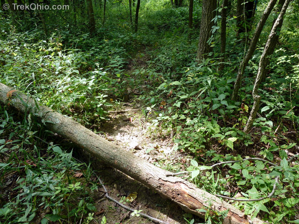
When I came back in August, this same trail was completely overgrown. I didn’t want to walk through such tall grass since I was concerned about getting ticks. Here’s what it looked like in August.
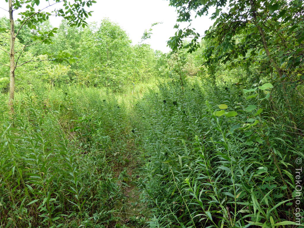
Instead I double-backed until I came to a previous branch in the outer trail that looks like this.

Vernal pool
Vernal pools are huge puddles that form in low areas in some woodlands. Typically they fill with water in the spring and by late summer they’ve dried out. This means that fish can’t live in them, but they are important to other creatures and plant life. For instance amphibians can lay their eggs in vernal pools without taking the risk of fish eating their offspring.
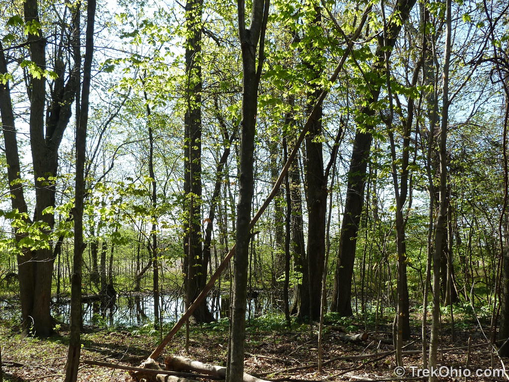
The kiosk had a poster which explained that vernal pools used to be regarded as:
dismal, mosquito-infested areas.
Vernal pools might not be dismal, but they are breeding grounds for mosquitoes. When I go into areas where there are stagnant pools of water, I typically spray on some DEET, or I at least bring it with me and apply it if necessary.
I’ll close by saying that at one time the land that makes up Thayer Ridge Park was going to be used as a landfill. But the plans changed, and in the end it wasn’t needed for this purpose. How cool of Knox County to re-purpose the land as a park!
Additional information
- TrekOhio: Knox County Parks & Nature Preserves — This is the county where Thayer Ridge is located; check out this page for official links and information on nearby parks and preserves.
Location
More on Knox County
 Ramser Arboretum
 Ariel Foundation Park
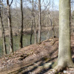 Indianfield Bluffs Park
 Knox Woods State Nature Preserve and Wolf Run Regional Park