Dillon State Park is a 2,285-acre park located in Muskingum County. The parks has 9.6 miles of multi–use trails, 1.25 miles of trails used exclusively for hiking, 15 miles of bridle trails, and 12 miles mountain bike trails. For those in the Columbus area, the park is about an hour to an hour-and-a-half drive east of the capitol. We had never been to Dillon State Park before, so when we heard the park was hosting its first annual winter hike on January 9th, we decided to participate.
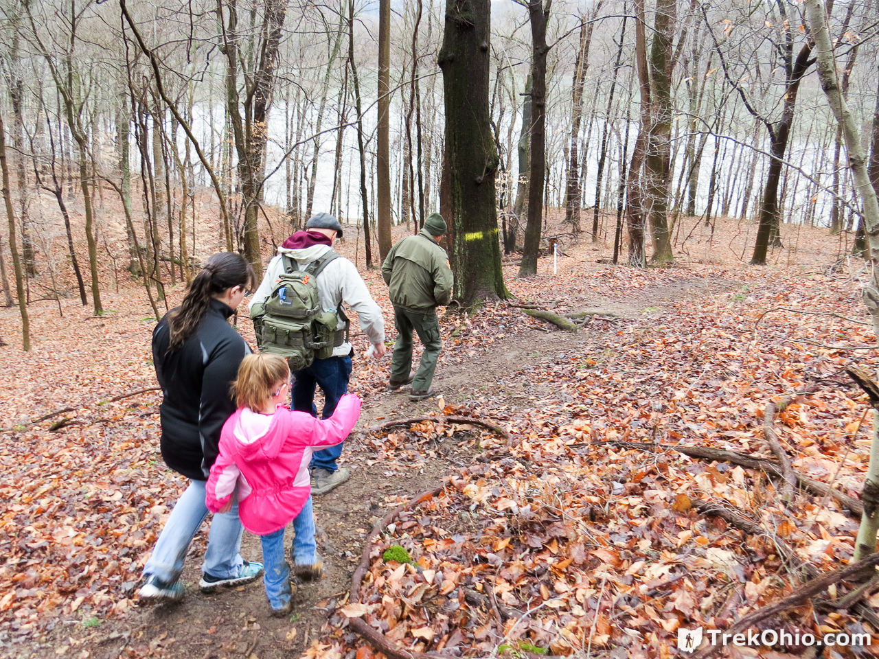
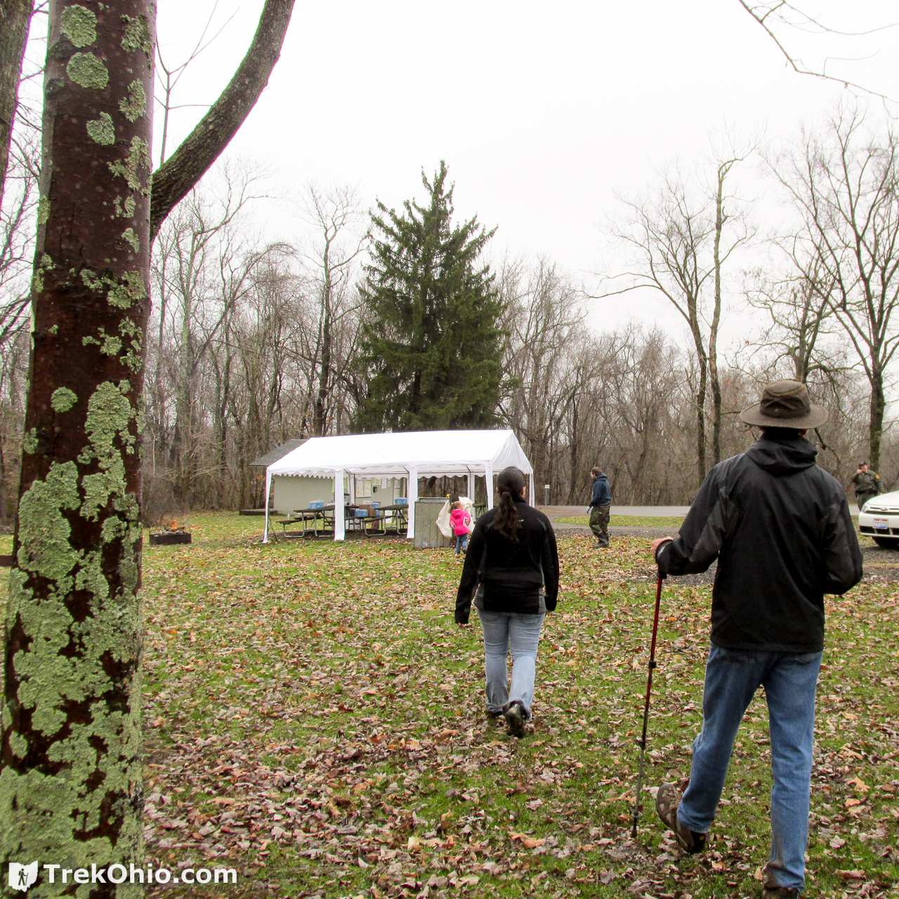
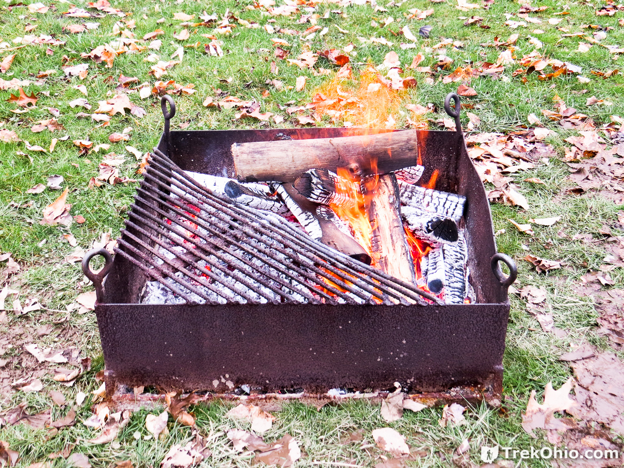
We attended the first of two guided hikes being offered that day. The guide was the park’s naturalist, Andy Tippel. The entire hike was about 2.4 miles following the Licking Bend multi-use trail. During the hike there was an elevation gain of 365 feet. We departed from the parking lot adjacent to the park office, and we ended near picnic area (C). The staff had erected a tent that sheltered a number of picnic tables; hikers had an opportunity to warm themselves by the fire and to enjoy some hot chocolate or other refreshments. Then a small bus picked us up and took us back to the park office where we had parked. I note in passing that the Licking Bend Trail is six miles in its entirety, so we only did a portion of the trail during this visit.
Below is a GPS trace of our hike. If you like, you can also examine the map directly on Google Maps. We started at the green marker to the right and hiked to the red marker to the left.
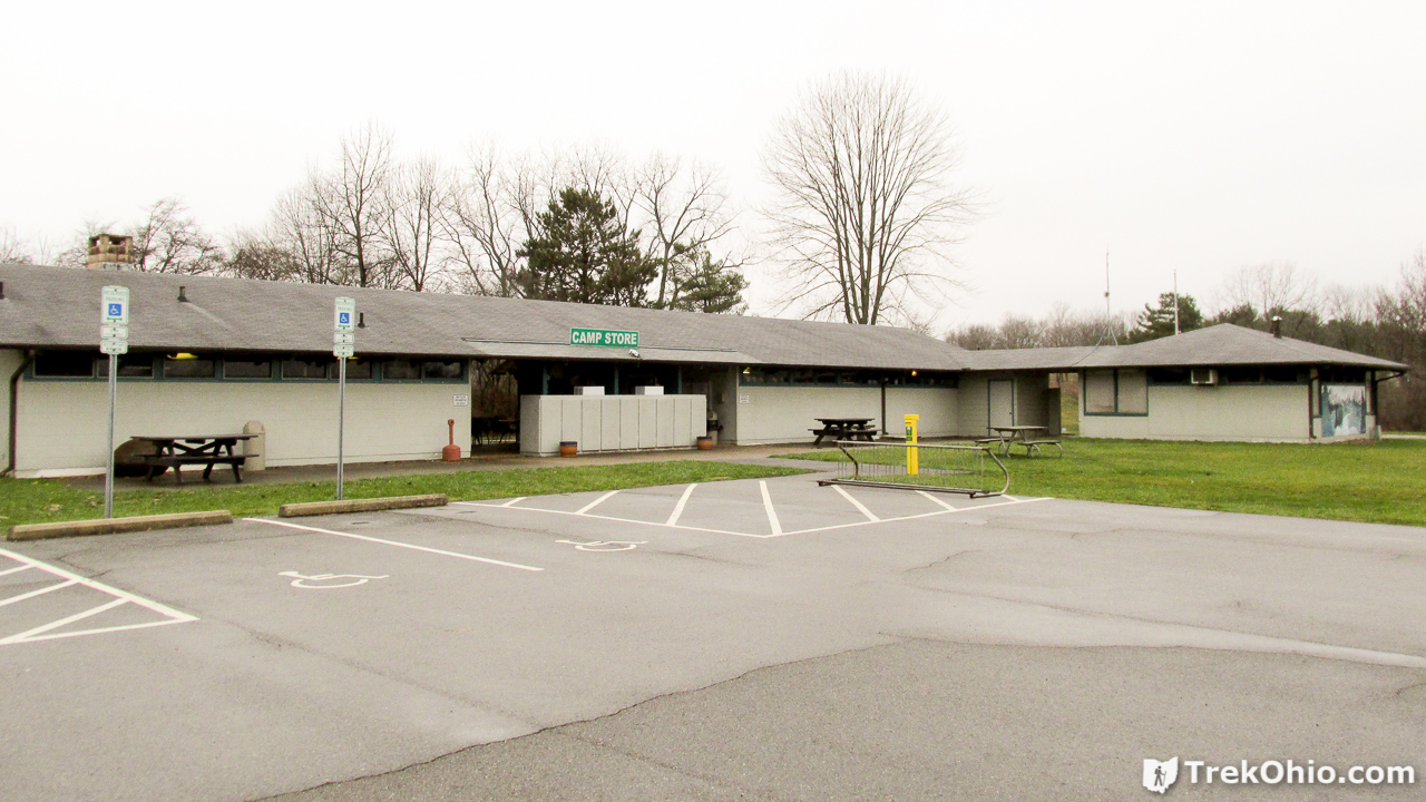
We were parked near the park office, which includes a gift shop and bathrooms with flush toilets, among other things.
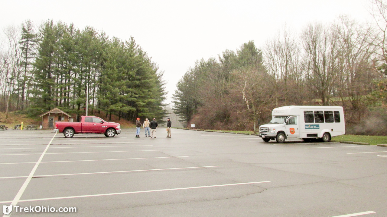
We were there early. The small, white bus that would take hikers back to their cars was already parked.
A small cabin for the park’s naturalist is located on the parking lot’s asphalt not far from the trailhead.

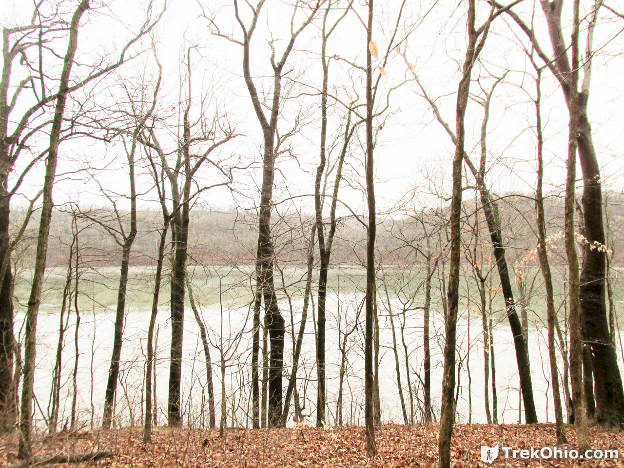
We were soon traveling close enough to the reservoir to get a look at the lake through the trees.
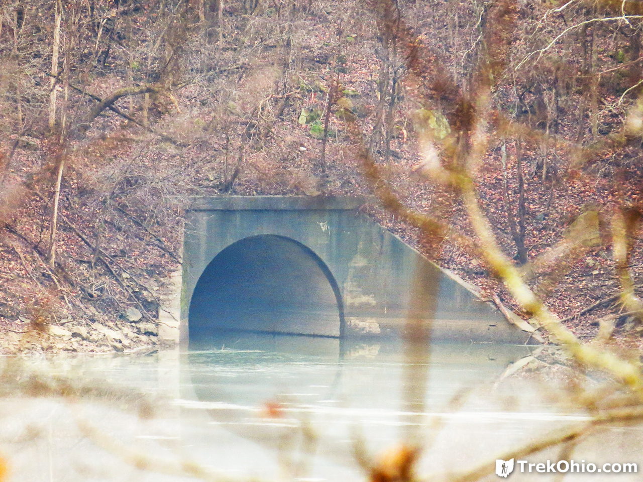
Andy pointed to a tunnel on the other side of the lake and told us that by canoeing through the tunnel, we could reach an area of the park where we might stand a good chance of seeing eagles. In the embedded Google Map, this is marked with a blue icon depicting a person canoeing toward the lower left of the map.
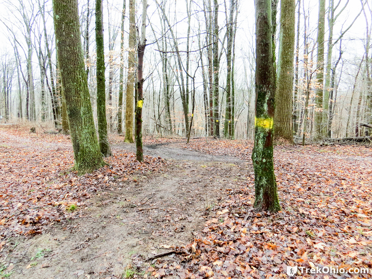
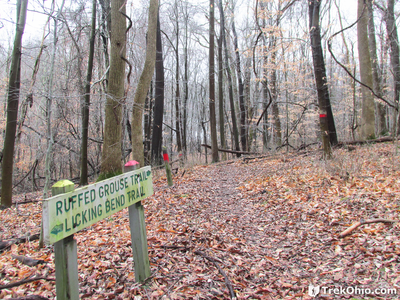
The trail was well marked with blazes, and there were signs at trail intersections. It was easy to choose the correct trail.
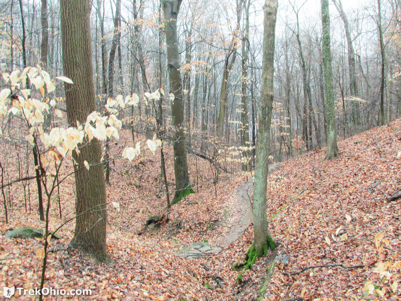
The trail did have some ups and downs to it, which is something that I like. We also got a look at some deer on our way, though I don’t have photos of them.
We traveled near some of the parks primitive campsites.

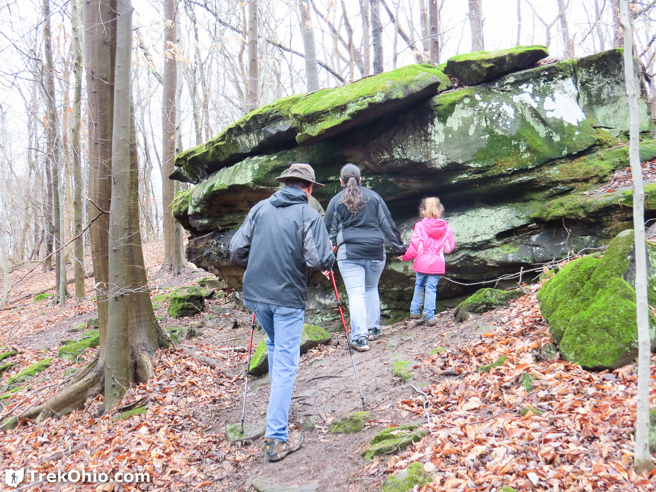
We also passed some rocky outcroppings with more that could be seen in the distance.
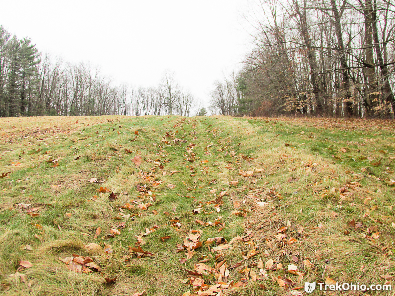
Eventually we came to a clearing that took us past the sledding hill and an archery range. In the embedded map, the sledding hill is marked by a blue, sledding icon, and the archery range is marked by a yellow star.
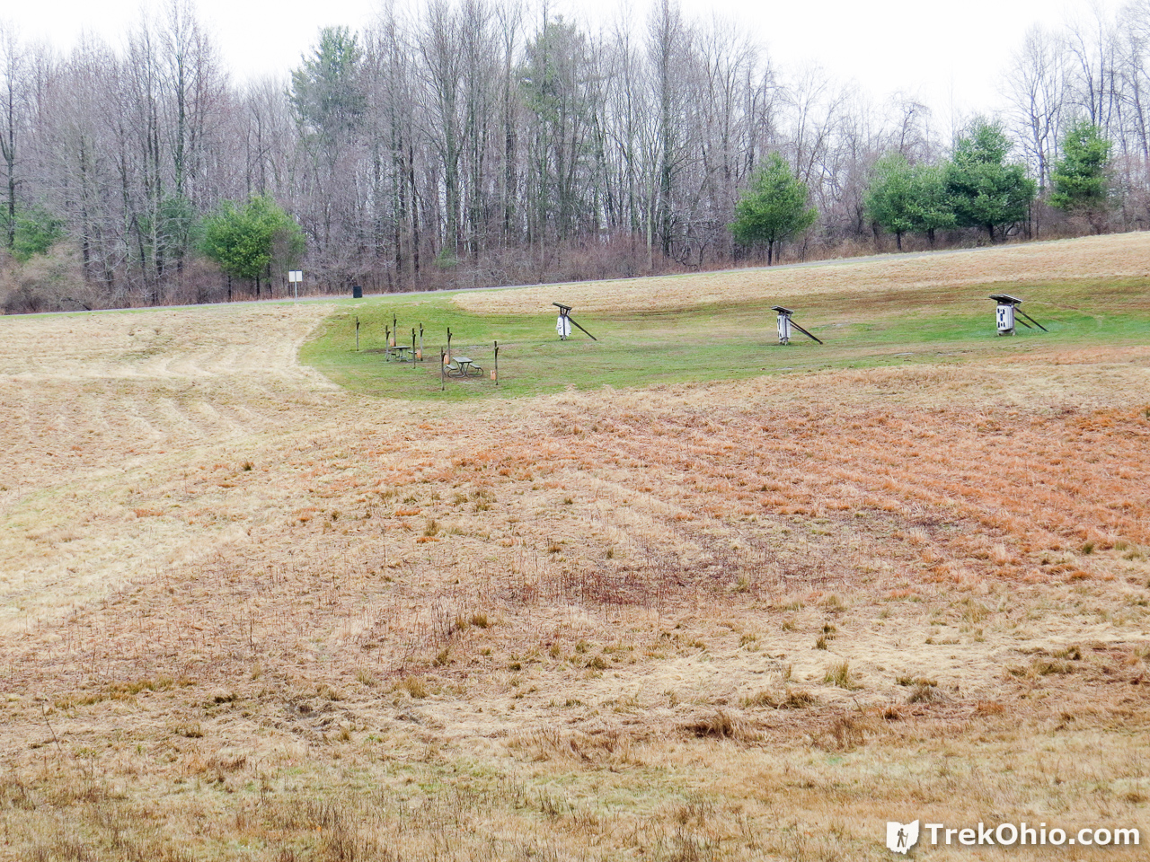
Andy said that during the summer there are opportunities to learn archery. Archery is a sport that I haven’t really tried, but which has always looked appealing. I should stop by this summer and give it a whirl!
Given the time of year we were hiking, there wasn’t a whole lot of greenery. However, Andy did point out some of the lichen species that we were passing. Since he has an interest in ethnobotany (which includes the study of how man has made use of wild plants), it would be interesting to participate in a guided tour in warmer weather when hikers would be exposed to more plants.

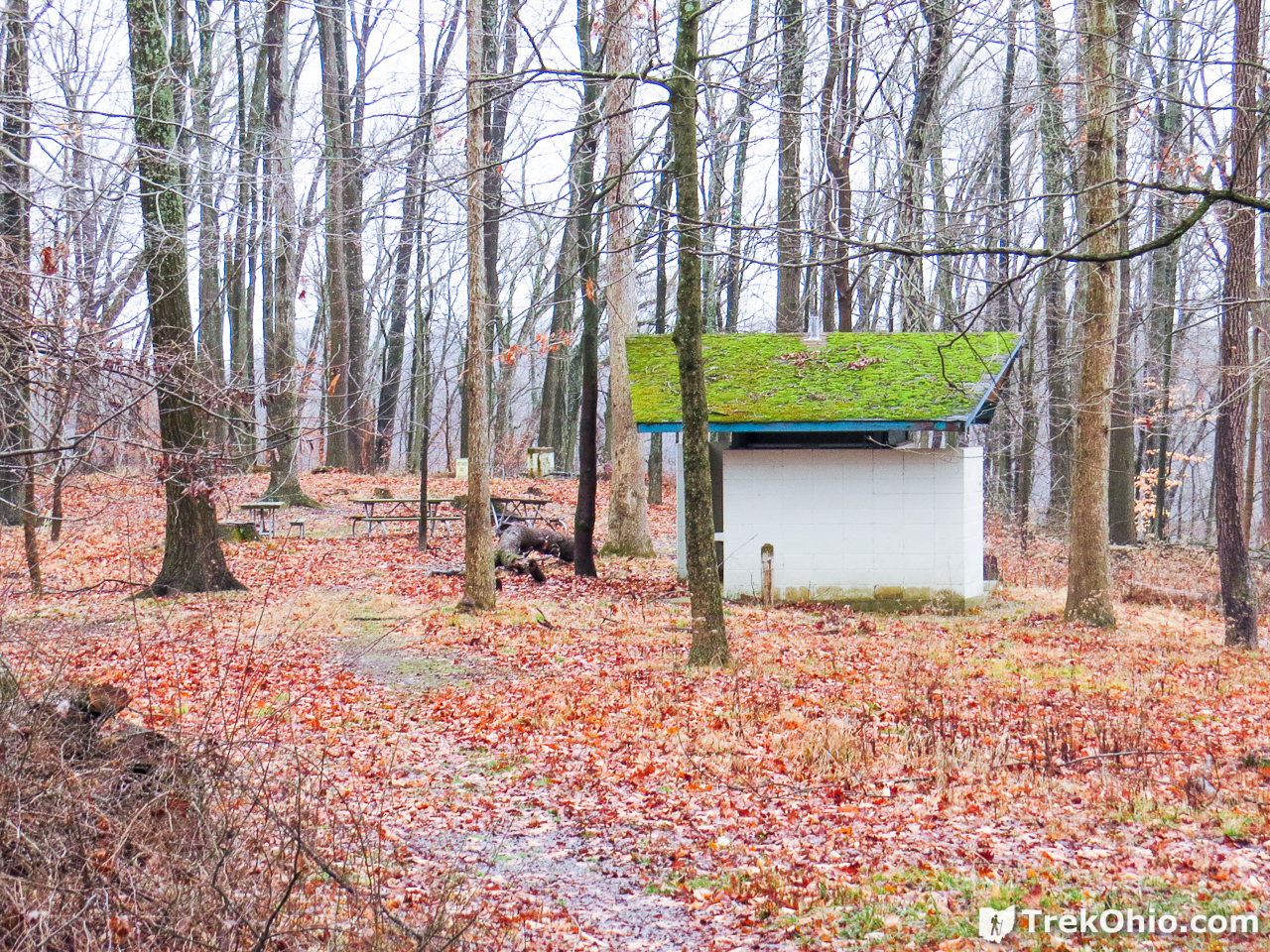
When we reached the end point for our hike, there was tent to shelter in, plus a campfire and refreshments.
Once we got on the bus to go to where our car was parked, the driver gave us the opportunity to see a little more of the park. We drove by the cabins, the campsites with electrical outlets, the disc golf course, and the boat launch. We enjoyed our introduction to Dillon State Park, and it was interesting to hear the variety of programs that were offered at the park, both educational and sporting. Since this really isn’t that far of a drive for people who live in central Ohio like us, we plan on visiting again in warmer weather.
Additional information
- TrekOhio: Muskingum County Parks & Nature Preserves — This is the county where Dillon State Park is located; check out this page for links to the official website and for information on nearby parks and preserves.
- TrekOhio: Blackhand Gorge: Hiking Trails — This nature preserve in Licking County is also nearby and offers great hiking opportunities.
Location
- Dillon Hills Drive Entrance
-
- Address: 5265 Dillon Hills Drive, Nashport, Ohio 43830-9568
- GPS Coordinates: 40.023144, -82.1146891
- Google Maps: View on map or get directions
More on Southeastern Ohio
 Zaleski State Forest: The Backpack Trail from Hope Schoolhouse
 Wayne National Forest (Marietta Unit): Lamping Homestead
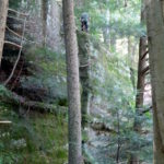 Hocking State Forest: Rock Climbing and Rappelling Area
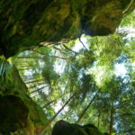 Conkle’s Hollow: The Gorge Trail
This is great. There is a hike tomorrow, Jan 7th, 10 AM and Noon. I want to go at least part way. We need MORE hikes at Dillon. Great area!
Sounds like you had a great time! Looks like a fun place to visit.