Mineral, Moonville, Hope — all were towns active in Ohio’s mining and iron manufacturing industries during the 19th century. They were connected by the Moonville rail line which passed through two long tunnels on the way to the iron furnace at Hope.
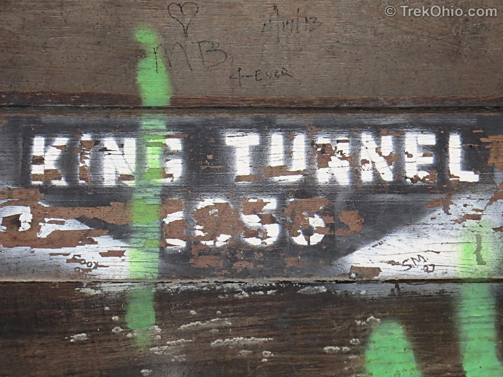
The towns are long gone, as is the rail line, but the two tunnels remain and can be found in the Zaleski State Forest. The more famous of the two is the Moonville Tunnel which is the subject of numerous ghostly tales. We visited the Moonville Tunnel last year and wrote about it just before Halloween. Recently, we visited its less famous, but equally interesting cousin, the King’s Hollow Tunnel (also known as “Mineral Tunnel”, “King’s Switch Tunnel”, and “King’s Tunnel”)
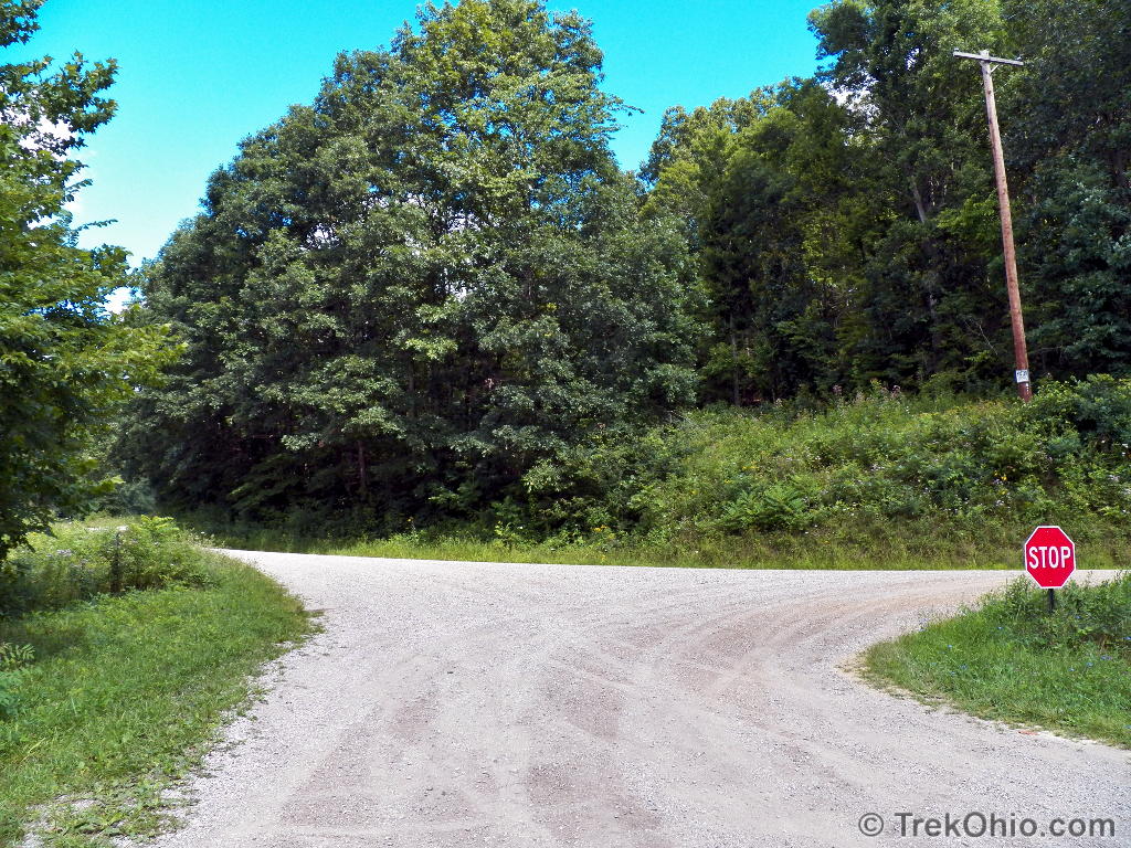
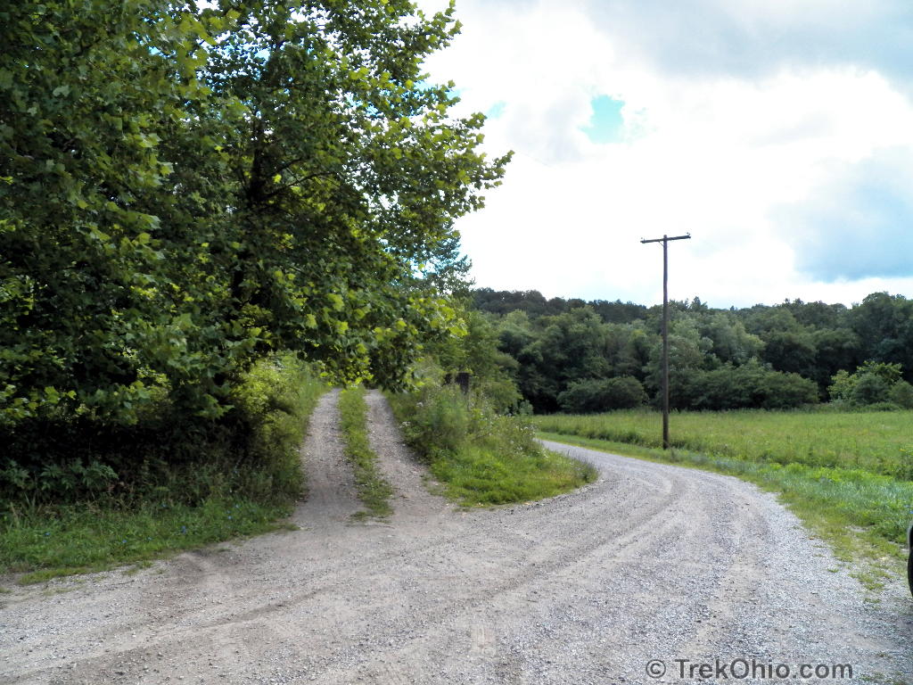
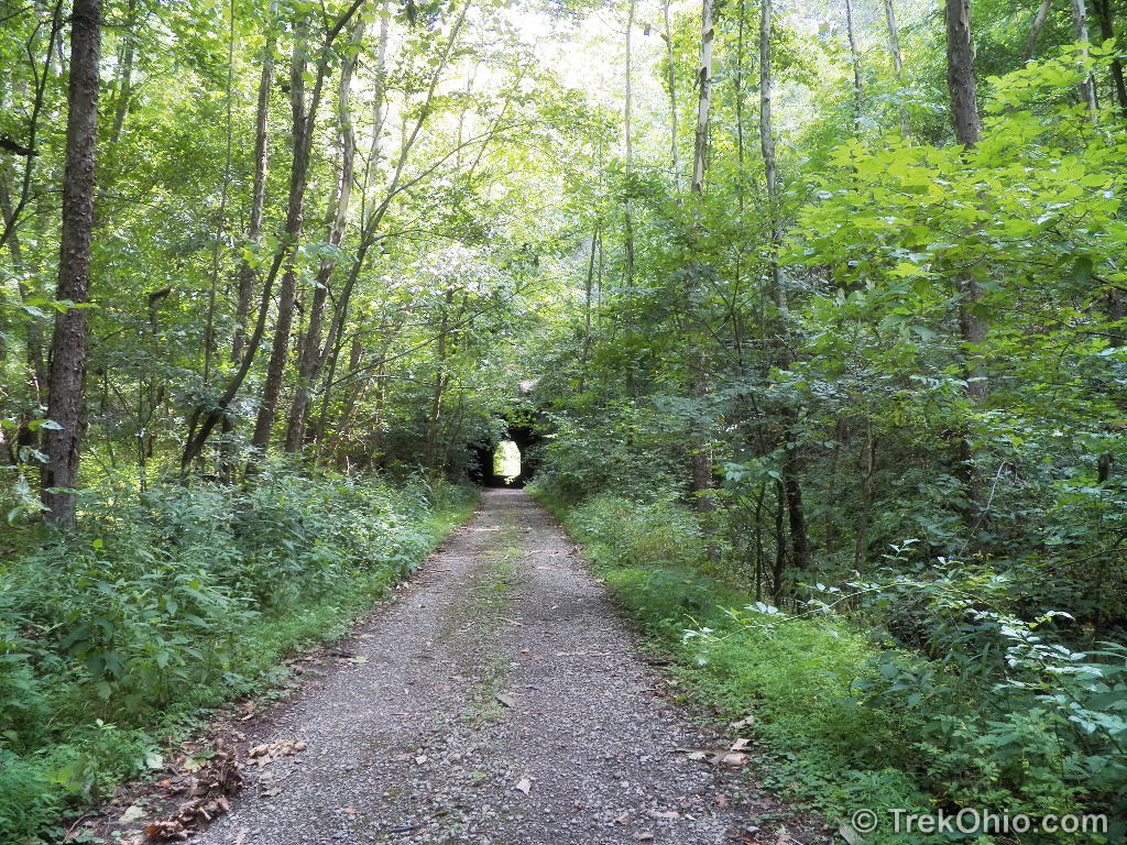
We parked just off the intersection of King Hollow Trail and Rockcamp Road — two gravel roads in the midst of Zaleski State Forest. The old Moonville rail line has been converted into a hiking trail, and it crosses Rockcamp Road just south of the road intersection. We reached King’s Hollow Tunnel by following the old rail line to the east for a half mile.
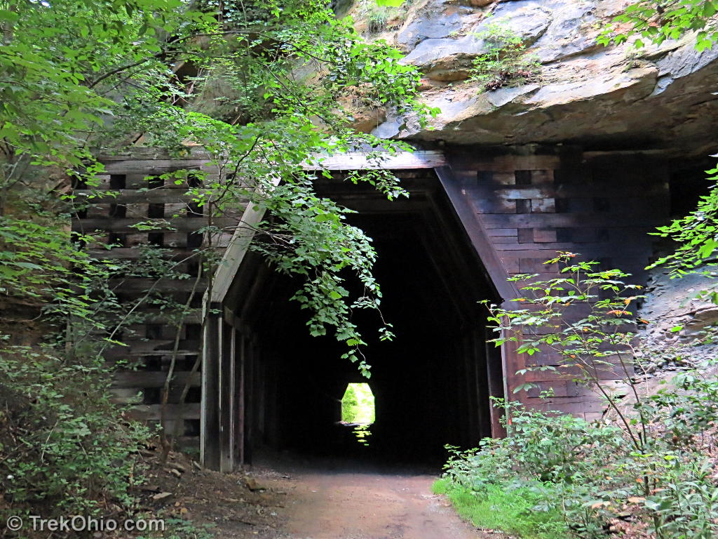
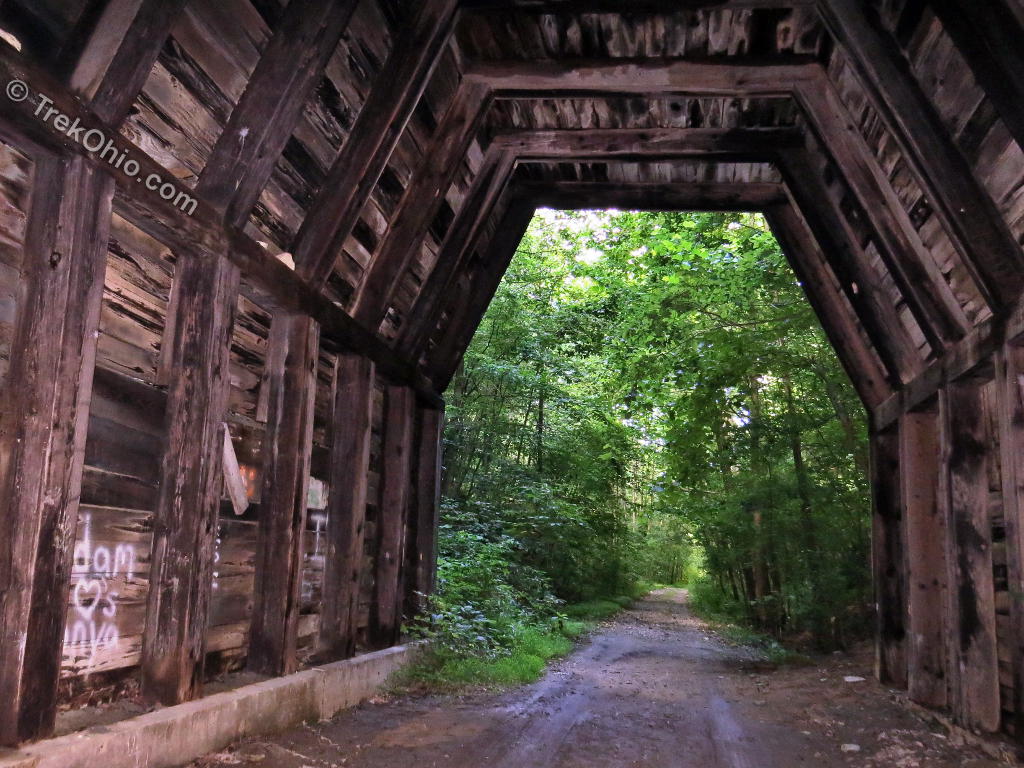
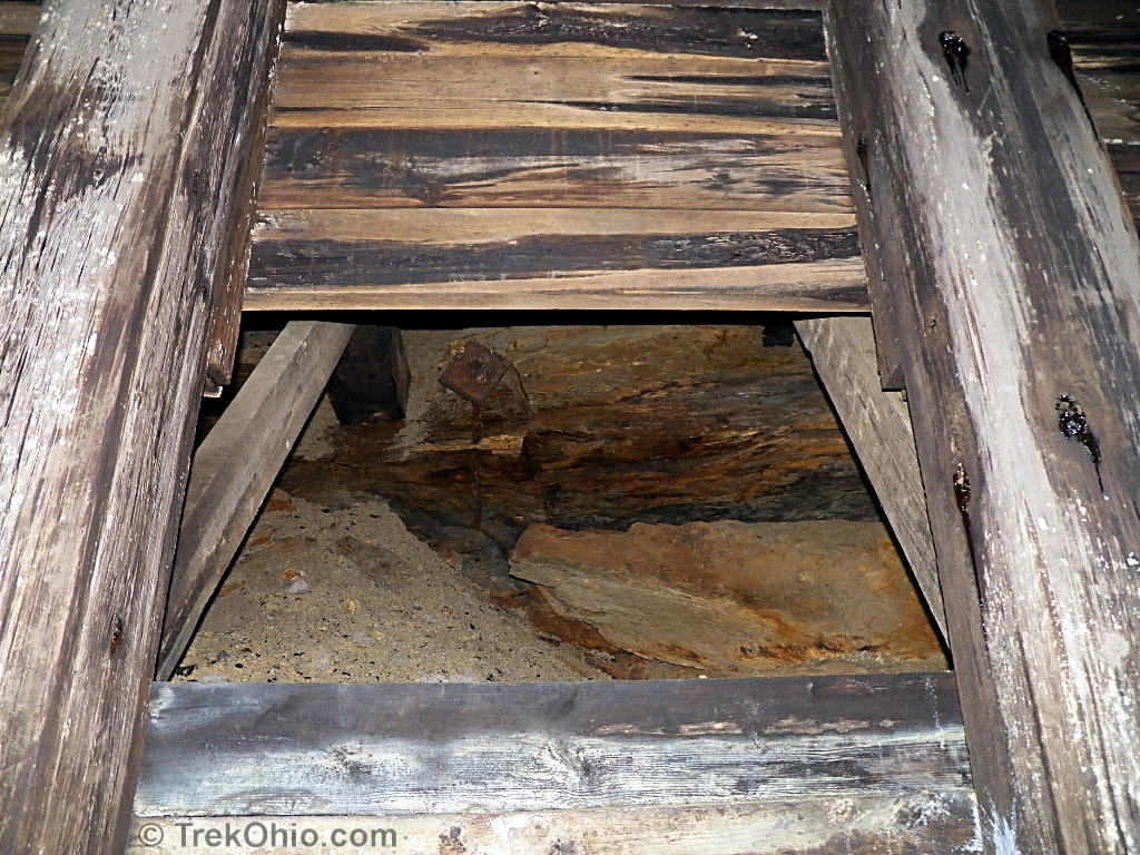
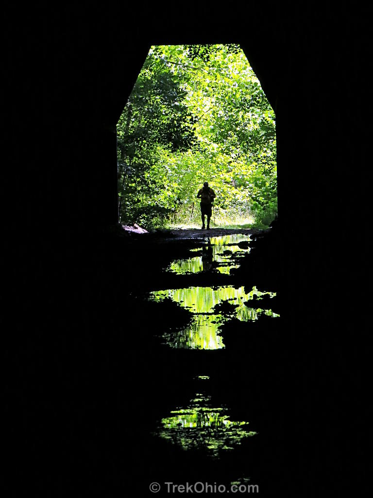
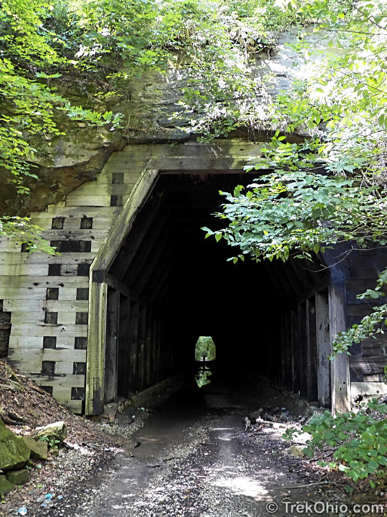
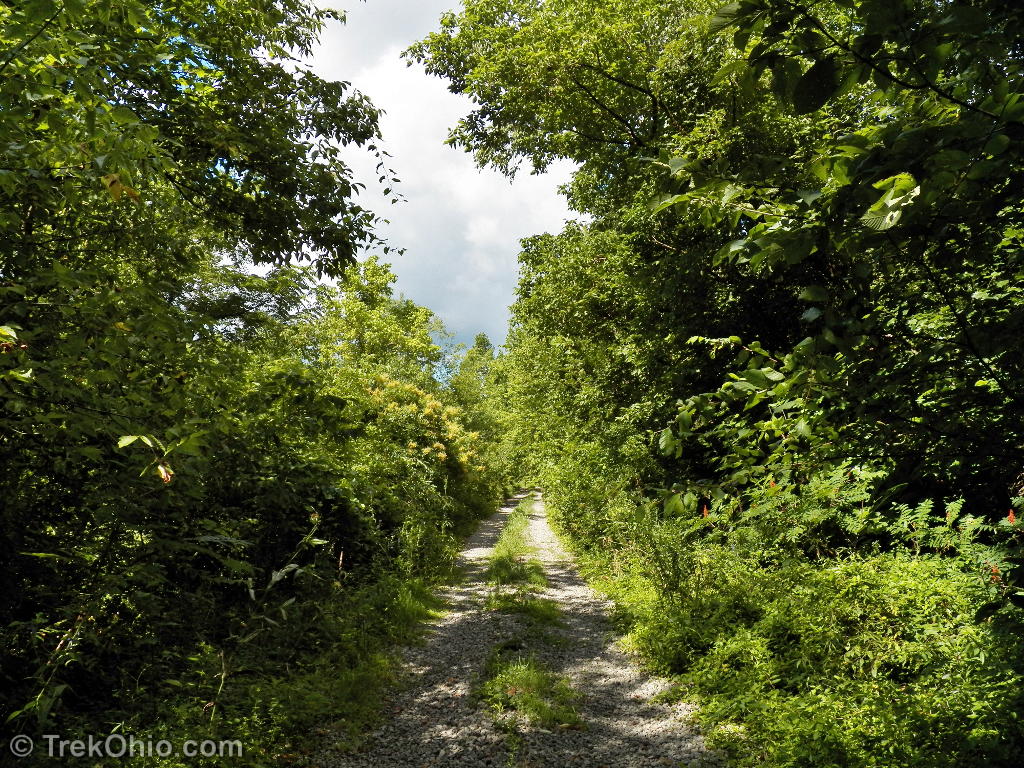
The now abandoned tunnel is cut through a cliff face and is lined with timber. The lengthy tunnel is quiet, and dark with shallow pools of water on the ground. A flashlight (or camera flash) reveals some graffiti and gaps in the wood-lined walls. The tunnel smells a little musty. After walking the length of the tunnel, I emerged on the other side. Here the trail was beginning to become a little overgrown, and after the dark stillness of the tunnel, the summer daylight was almost painfully bright.


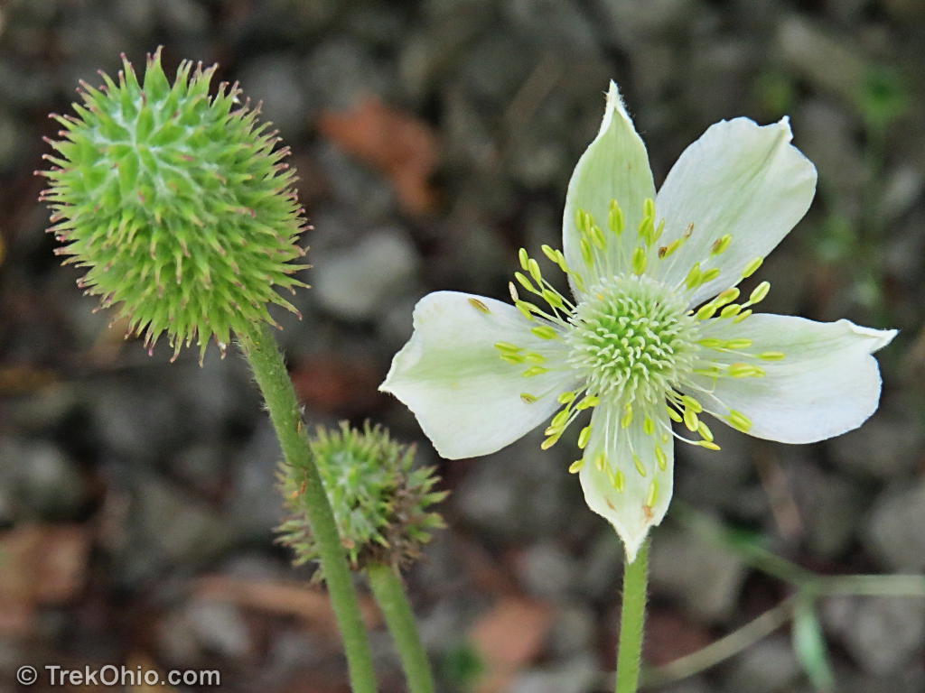
We backtracked down the trail to our car pausing to photograph some of the wildflowers growing along the former rail line.


Additional information
- Trek Ohio: Vinton County — King’s Hollow Tunnel is in Zaleski State Forest which is in Vinton County; check out this page for official links related to Zaleski State Forest. Our Vinton County page also provides information on nearby parks and preserves.
- TrekOhio: Our articles on Zaleski State Forest — Discusses trails and points of interest in Zaleski State Forest.
- TrekOhio: Zaleski State Forest: Moonville Tunnel — This is another tunnel on the same, former rail line in Zaleski State Forest.
- TrekOhio: Our articles on Lake Hope — Lake Hope State Park is next-door to Zaleski State Forest.
- Moonville Rail Trail Association
Location
- Parking near tunnel
-
- Directions: Take OH-356 south. Turn right onto King Hollow Trail. It is briefly paved, but soon becomes a gravel road. Proceed till you reach the intersection with Rockcamp Rd. Turn onto Rockcamp Rd. Go slowly, immediately after the intersection, you will see a walking path on either side of the road. This is the Moonville Rail Trail. Pull off the road to the side and park.
- GPS Coordinates: 39.319811,-82.284561
- Google Maps: View on map or get directions
- Location of King’s Hollow Tunnel
-
- GPS Coordinates: 39.321069,-82.280613
- Google Maps: View on map or get directions
More on Vinton County
 The Annual Fall Hike at Lake Hope
 Vinton Furnace State Experimental Forest
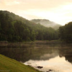 Tar Hollow State Park
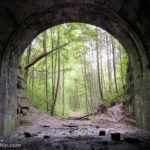 Zaleski State Forest: Moonville Tunnel
The reason why the ceiling is sooty is because there are major coal veins inside the top and sides of the tunnel. It’s a bit unstable but besides that, a good tunnel.
That would really make for a nice start to create a rails-to-trails trail.
Thats actually what they’ve been doing for about 5 or more years now. Progress is slow due to funding.