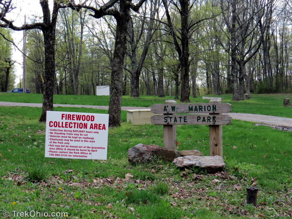
A.W. Marion State Park is a 309-acre park with a 145-acre lake within its borders. The lake, known as Hargus Lake, has been stocked with largemouth bass, muskellunge, bluegill and channel catfish. Currently the Ohio Dept. of Natural Resources (ODNR) only permits boats to use electric motors. Although the lake doesn’t have a beach, boaters are allowed to swim from their boats in one corner of the lake (the swimming area is marked on the park’s map).
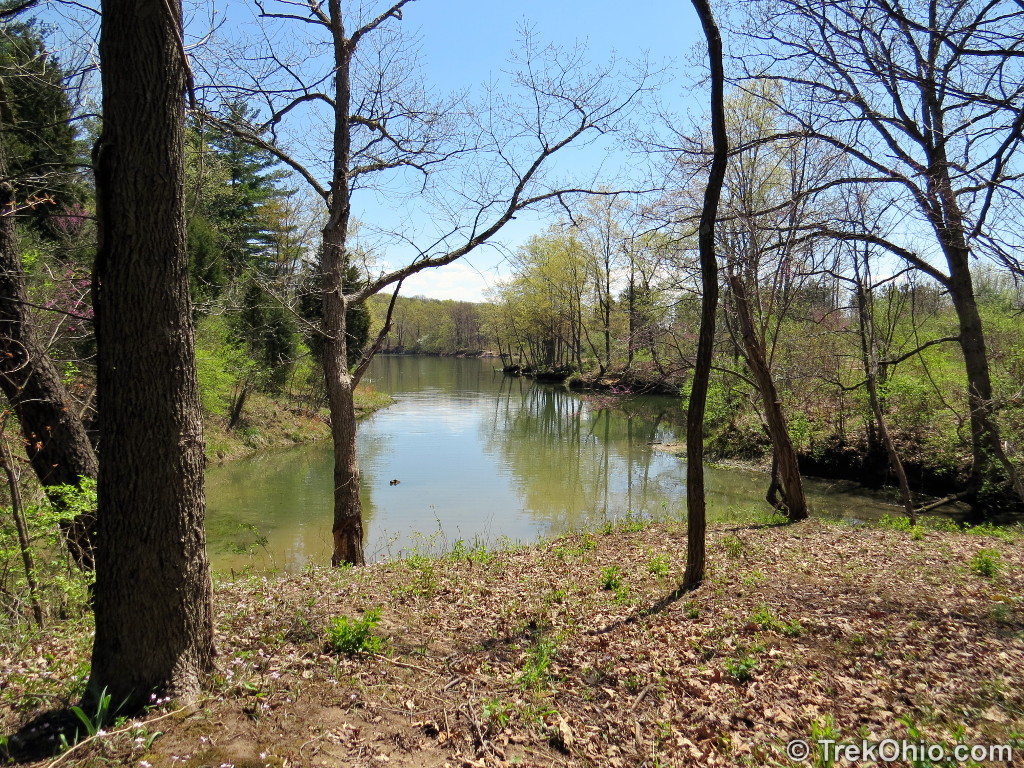
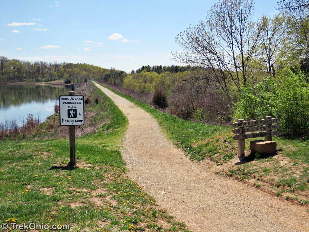
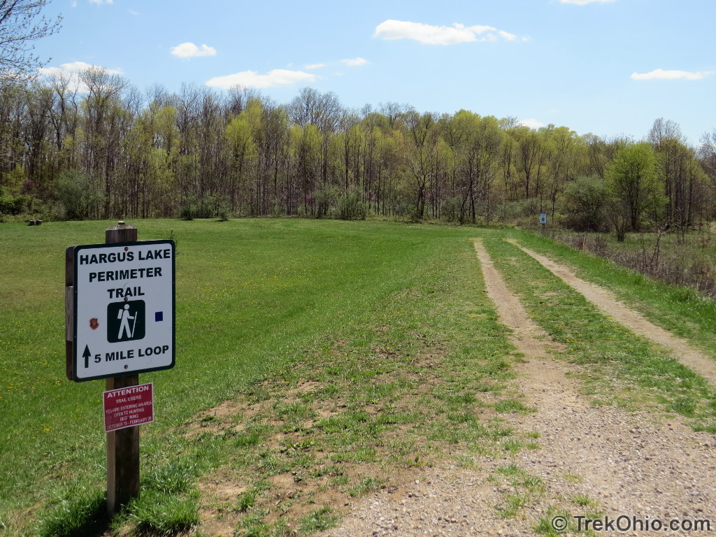
I visited the park twice in late April of last year. At the time there were quite a few spring flowers, and the trees were just beginning to leaf out. My objective was to walk the 5-mile Hargus Lake Perimeter Trail, which as the name suggests goes the whole way around the lake. Although I was just walking the trail, there are also scheduled runs around the lake (see links at the bottom).

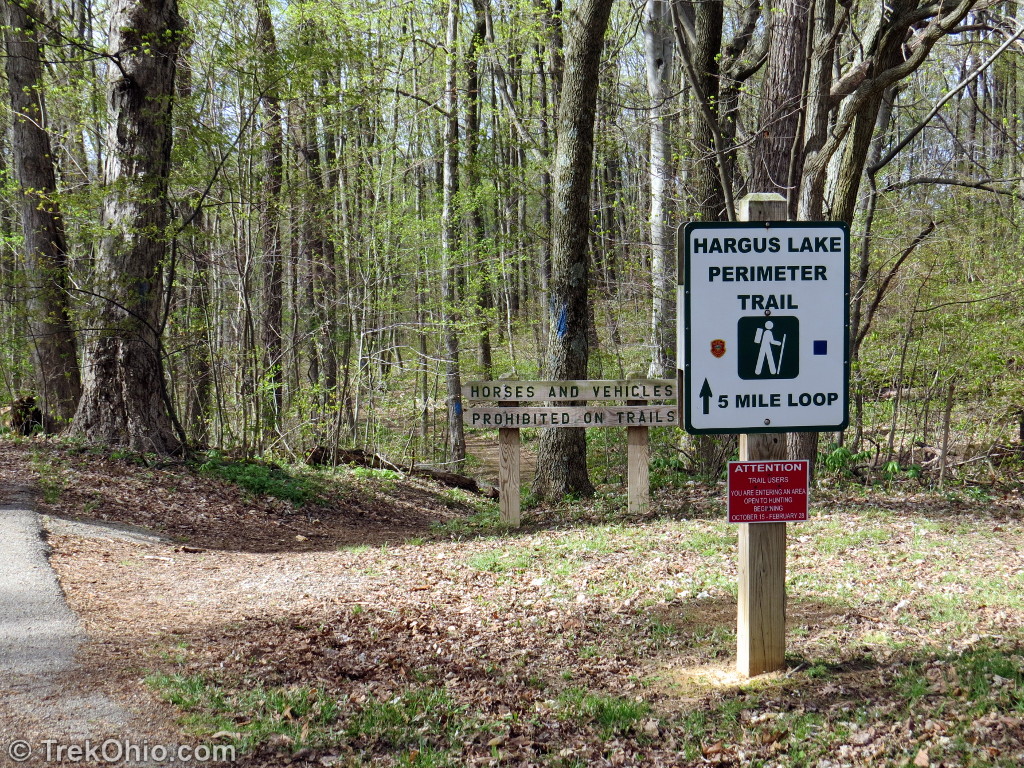
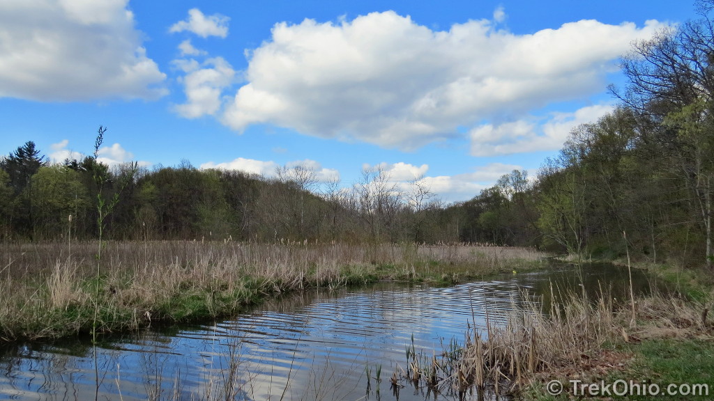
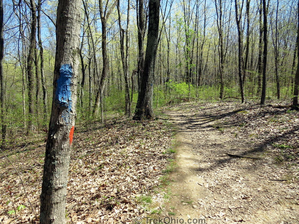
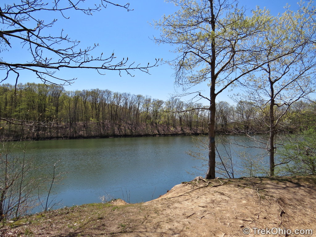
After looking over the marsh I started walking around the lake on the Hargus Lake Perimeter Trail. If you look at a map of the park, I was traveling counter-clockwise around the lake. From the campground, I started by going north. For most of the five miles around the lake, I could either see the lake directly, or I could see it through the trees (although this may be harder to do in the summer when the foliage is fully developed). But there were still stretches like the one below where the lake was nowhere in sight.
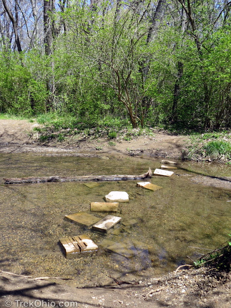
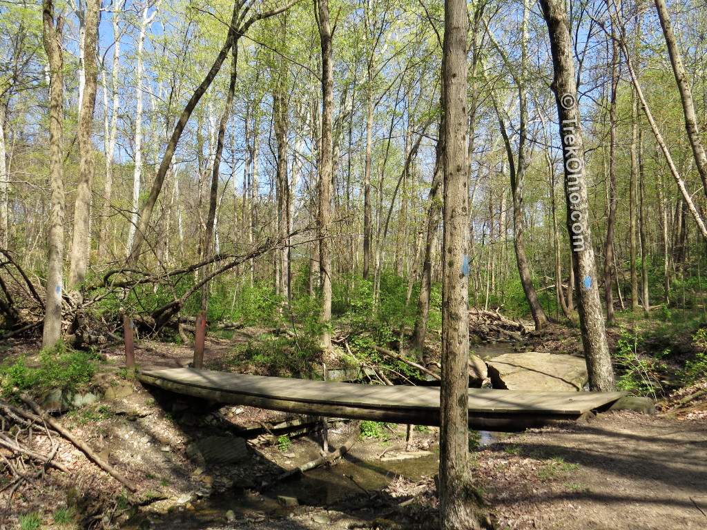
Although there were footbridges over most of streams, there were a couple occasions where I had to cross via stepping stones.
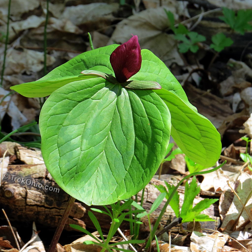
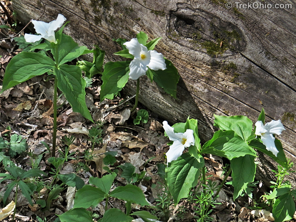
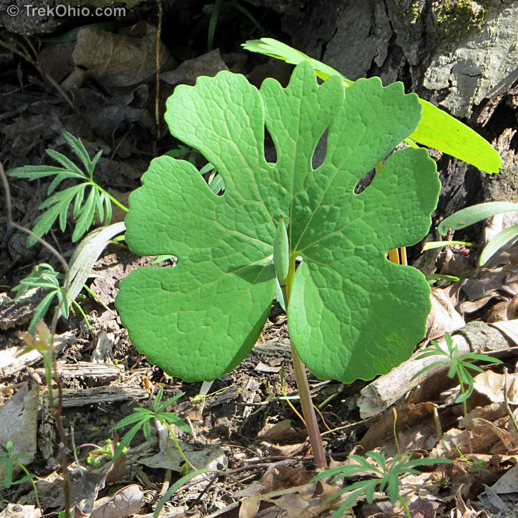
One of the great things about hiking in the spring is looking for spring wildflowers, and there were many at A.W. Marion State Park.
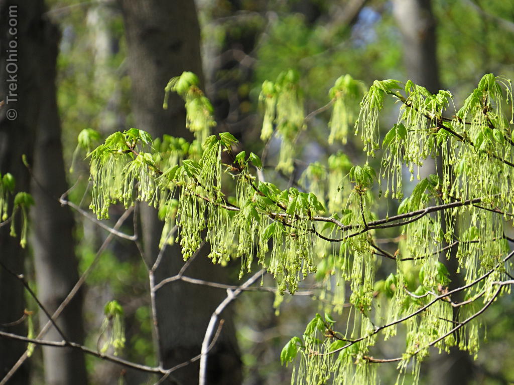
Since the trees were just starting to leaf out, the leaves were a small, yellowish green. Plus many of the trees were in flower.
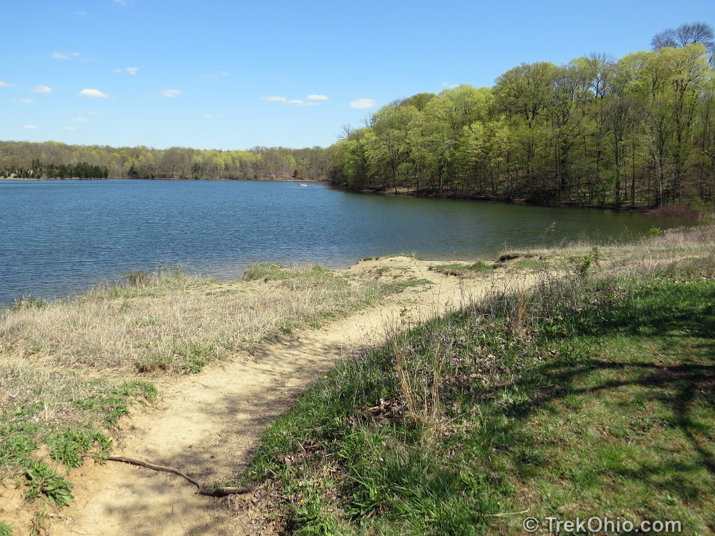
Now I’m at a part of the trail where there are frequent, clear views of the lake.
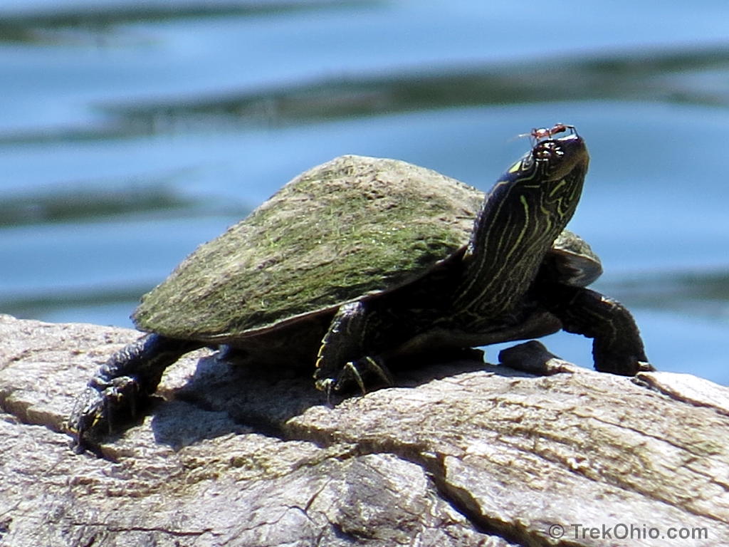
The turtle below is a Common Map Turtle. They normally stay in deep water, and they’re pretty shy around people, so they’re a little harder to spot than some other species. This is only the second one I’ve seen. Since both turtles had algae growing on their upper shell, I’m now wondering if that’s typical for this species.
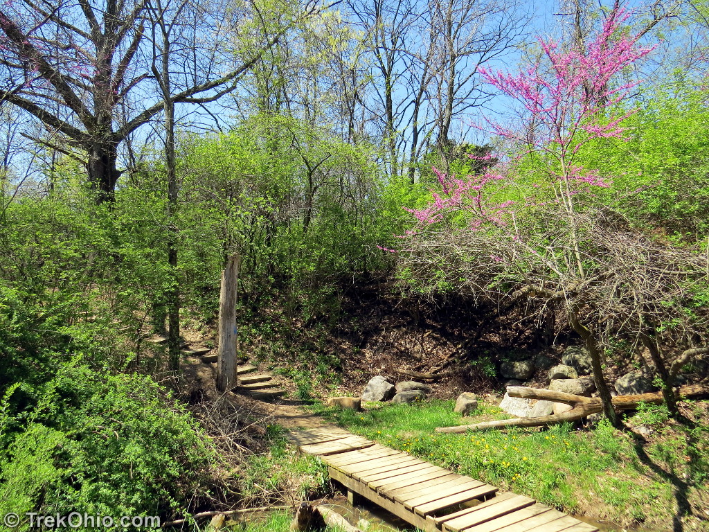
The footbridge below is at the far, northern point on the Hargus Lake Perimeter Trail. After crossing this I will be going south along the western side of the lake.
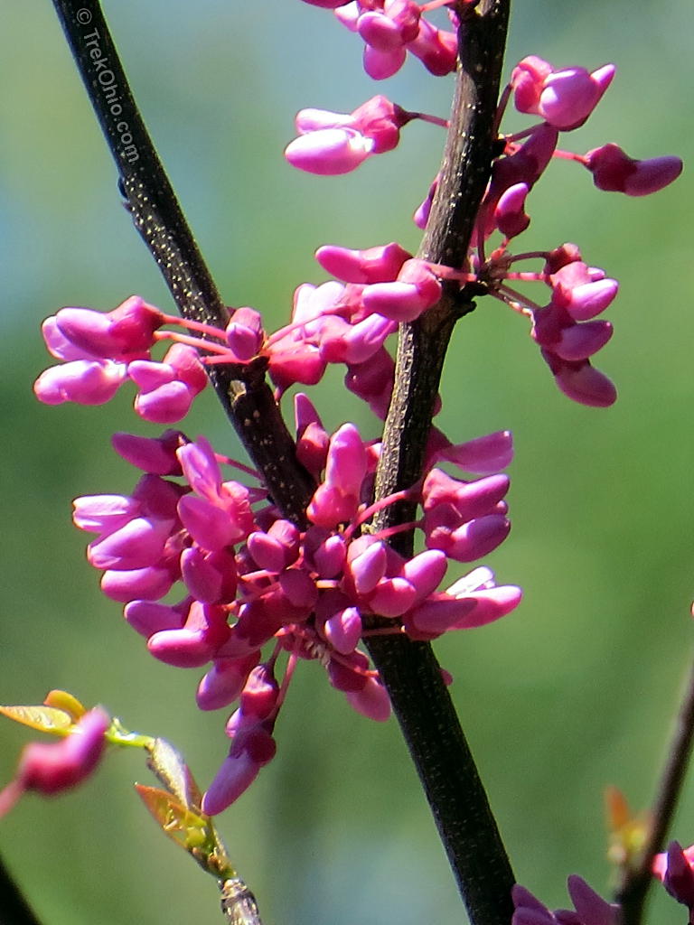
One of the things that I like about hiking in the spring is seeing the blossoms on the trees. The small tree with pink blossoms near the bridge is redbud.
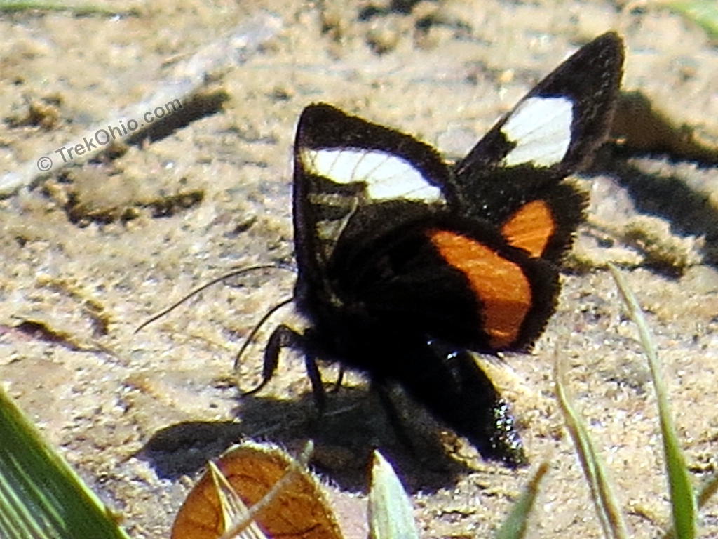
I thought that the insect below was a butterfly species that I had never seen before, but it turns out that it’s a new (to me) moth species. Butterflies have knobs on the ends of their antenna, but there are no such knobs on this insect’s antenna. With the help of Bugguide.net (reviewed here), I learned that it was a Grapevine Epimenis moth, so called because the larval form dines on grapevines.
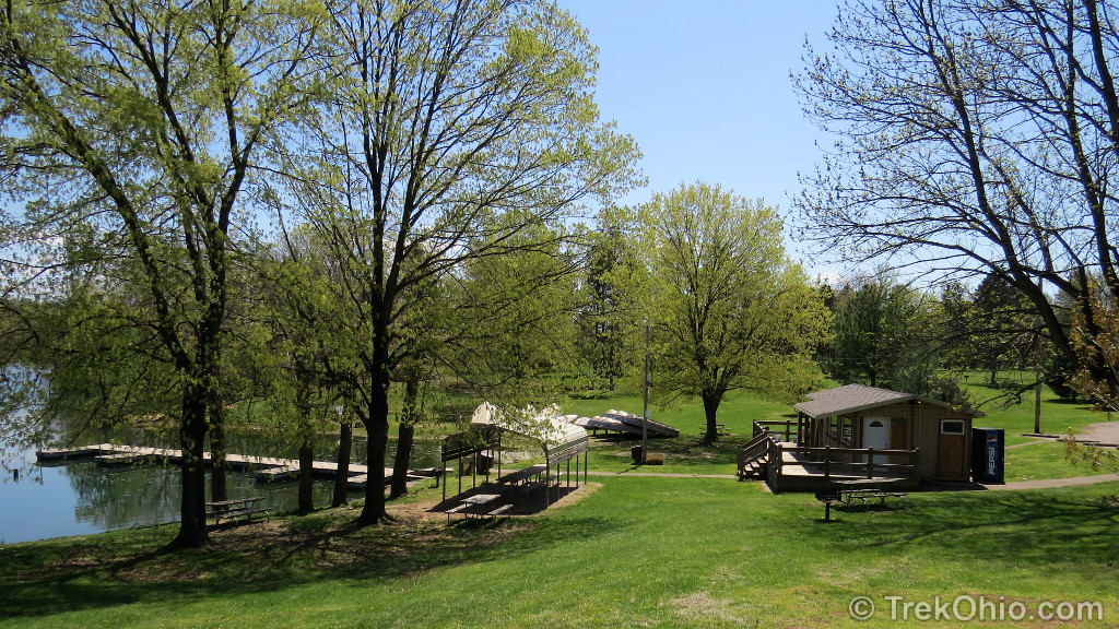
It wasn’t long till I was over at the marina area of the park. This region featured a boat ramp, docks, a camp store, boat rentals, manicured lawns, picnic shelters, playgrounds, and latrines. The picnic shelter pictured near the lake is one of park’s three “mini-shelters”; these are available on a first-come, first-served basis. The park also features a larger shelter than can be reserved ahead of time.

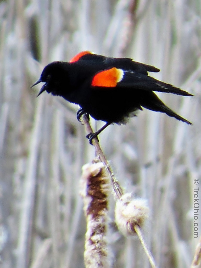
While passing through this area I noticed a number of birds.


On this side of the lake there is also a bronze memorial plaque dedicated to A.W. Marion that was donated to the park by his former employees at the Ohio Department of Natural Resources (ODNR). A.W. Marion was a native of Pickaway County, and he was ODNR’s first director (from 1949 to 1957). The park was renamed in his honor in 1962.
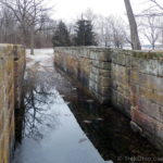
If you look at the Google map embedded near the end of this post, you’ll see that the western side of the lake looks like a vertical, straight line as you approach its southern end. That’s where the lake’s earthen dam is located. In the photo below I’m about to cross over the top of the dam.
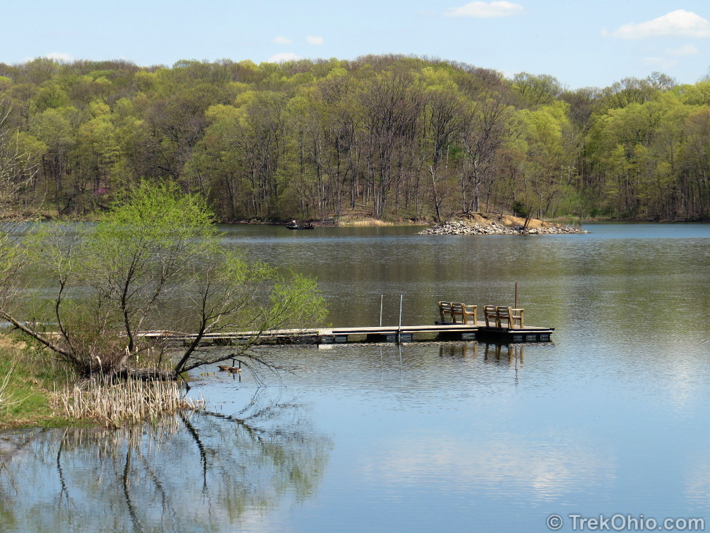
From the dam I could see the dock below. Those benches looked like a nice place to drop a fishing line or just relax. In the distance you can see a little island. Also while crossing the dam I saw an osprey flying overhead. I didn’t see any nesting platforms for osprey, so I’m not sure whether osprey nest at the lake.
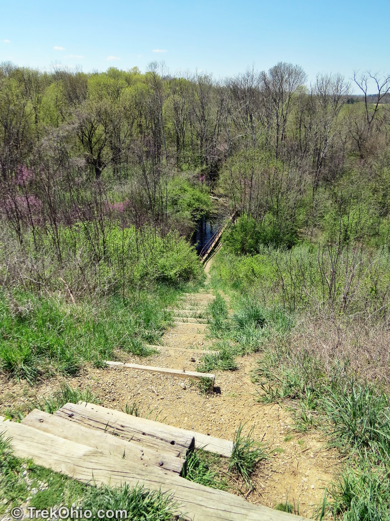
The picture below is what the trail looks like after you’ve crossed the dam. I thought the sign was telling me to continue straight, so I believed that the trail must be moving away from the lake at this point. In addition the fact that I could see another trail sign in the distance increased my confidence that this was supposed to be where I should go next. However I was wrong. Once I got to the more distant sign, it announced a different trail, the Pine Grove Trail Loop which isn’t even listed on the park’s trail map. Since I was already there, I checked it out. It is a mown-path that loops through an area with pines and small deciduous trees, some of which were blossoming in April. It seemed like a nice place to do some birding. After taking this wrong turn, I went back to the sign picture below. What I was supposed to do was take an immediate left before that sign. Because the slope was eroded, the erosion masked the fact that it was the trail. As it turns out, the trail continues to hug the lake as I turned east while I travelled the length of the lake’s southern shoreline.
By the way on the bluff above this eroded trail, there is a small stand of mature trees, a bench, and a picnic table. This is where I had my packed lunch. 🙂

I saw lots of large-flowered trillium along the eastern side of the lake, along with some other wildflowers.
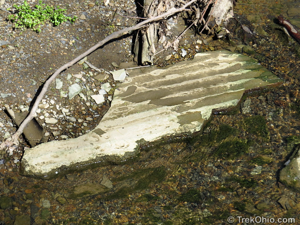
There were plenty of footbridges along the trail, but I wanted to point out the bridge below in particular. Erosion along this streambed has revealed a number of “ripple rocks”. These ripples formed some 300 million years ago when Ohio was underneath a shallow sea. Symmetical ripples, like the ones seen in the final photo, form underwater near a beach where the waves spash back and forth.
This was a great hike to do in the spring with all of the wildflowers. I heartily recommend it.
Additional information
- TrekOhio: Pickaway County Parks & Nature Preserves – This is the county where A.W. Marion State park is located. This page includes links to the park’s official site and maps, plus links to nearby parks.
- 50sforyomomma.com: 50s For Yo Momma – Runners can run a number of different distances around the lake at A.W. Marion State Park. I believe this is an annual event. In 2014 it looks like the scheduled runs are for May 10, May 12, and September 27.
- Wikipedia: Sedimentary structures – discusses structures in sedimentary stone like the ripple marks pictured above.
Location
- Main Entrance
-
- Address: 7317 Warner Huffer Road, Circleville, Ohio
- Directions:
- GPS Coordinates: 39.6319096, -82.8893529
- Google Maps: View on map or get directions
- Campground
-
- Address: 8498 Township Hwy 77, Circleville, Ohio 43113
- Directions: Go east on Ringgole-Southern Rd (T-42) to Warner-Huffer Rd (T-77)
- GPS Coordinates: 39.6346865, -82.8761321
- Google Maps: View on map or get directions
- Boat ramp
-
- Address: Warner-Huffer Rd. & Catherine Blvd., Circleville, Ohio 43113
- Directions: Take Bolender-Pontius Rd (T66) to Warner-Huffer Rd (T-77).
- GPS Coordinates: 39.6273274, -82.8842217
- Google Maps: View on map or get directions
More on Central Ohio
 Lockville Park
 Milford Center Prairie State Natural Area
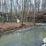 Shale Hollow Preserve
 Christmas Rocks State Nature Preserve
What an incredible park! The landscape shots are fantastic, I would love to take a boat out on that lake. . . wonderful post as always 😀 x
I know it’s a few years late , but this was excellent. Still valuable for someone like myself who intends to check out this park soon. Thanks!
Those are great pictures, Deb! Love the redbud, moth and trillium…
Thanks, Karen!
Over the last year I have looked forward to your every post and often refer to your reviews before choosing, planning a hike. Your posts, reviews, and photography are TERRIFIC! Thanks so much!
Incidentally, the group I hike with did the Hargus Loop Trail last Wed. Unfortunately not a single wildflower had braved the cold yet. Not even a snowdrop or skunk cabbage. That will change in the next week, I’m sure.
Ron, thank you so much for the encouraging words about our site. On Facebook I am seeing wildflower posts that were taken in some of Ohio’s southern counties, so I have to think spring will arrive in central Ohio soon.
This past weekend, Bob and I were at a county park in Summit County, and we were surprised to be hiking in several inches of snow. I had been hoping from some spring-like photos, but I’m afraid when we post about this one the photos will look like we were there in the middle of winter.