We are going to describe one of our favorite loop trails in the Hocking Hills State Park. The outbound portion of the the trail follows the Grandma Gatewood Trail, named after the famed Emma Gatewood. The Grandma Gatewood Trail is a segment of the 1,500 mile Buckeye Trail and is marked with blue blazes or blue marker posts.
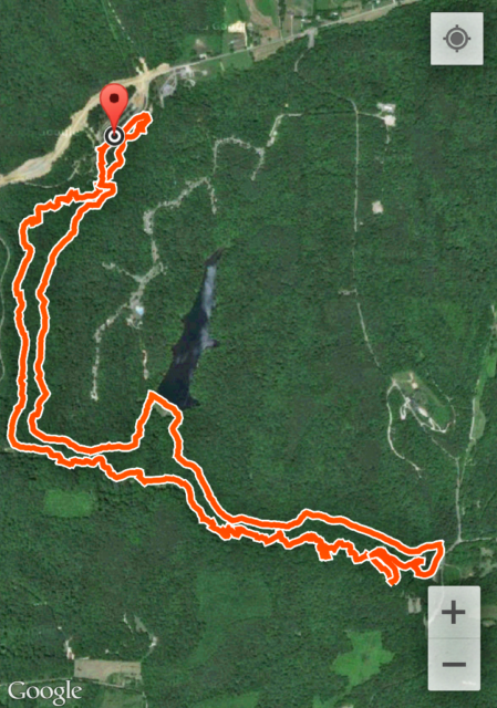
Below is a screenshot of the GPS trace of our hike courtesy of Google’s My Tracks app. We started at the red marker near the Upper Falls and traveled counter-clockwise. The large body of water near the center of the map is Rose Lake, which we passed on our return route.
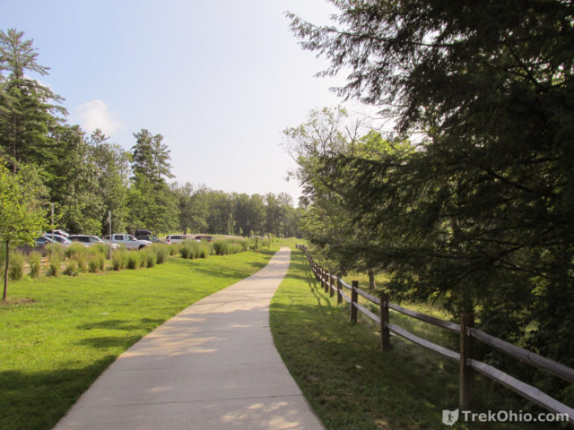
We arrived at the Old Man’s Cave parking lot around 9:30 AM on a sunny, July morning. At one end of the parking lot is a sidewalk leading to the Visitors Center. The center includes restrooms, a gift shop, and a snack bar (open in the summer).
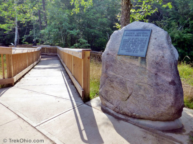
The Grandma Gatewood Trail starts with a boardwalk that passes a small falls and then crosses a stone bridge over the Upper Falls, it then descends a set of stone stairs down to the a sand beach across from the Upper Falls. The Upper Falls is one of the most photographed waterfalls in the state.
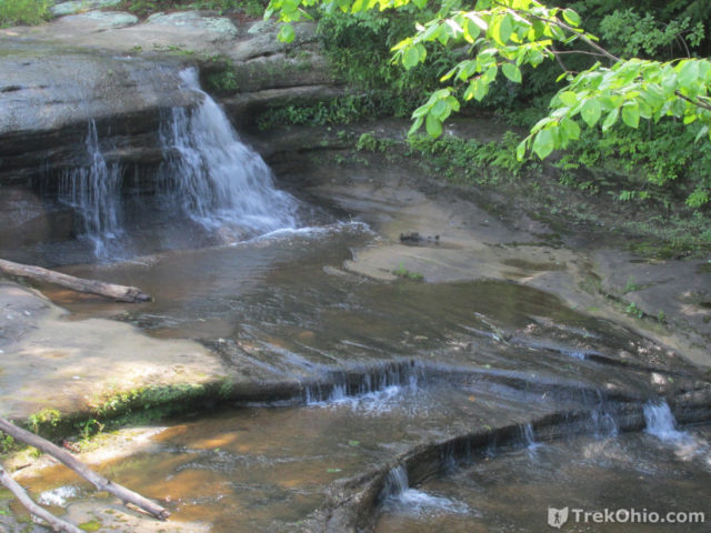
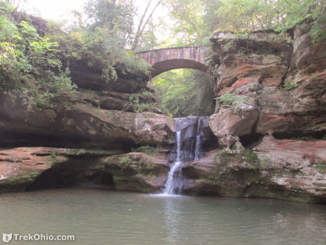
At this point, we’re in the gorge canyon that comprises most of the Old Man’s Cave site. The rim walls are made of hard Blackhand sandstone and extend from about 50 ft to several hundred feet in height. There are several waterfalls along the route. During spring, or during an unusually rainy summer, there are even some small, temporary falls drizzling off the rim.
This outbound hike to Cedar Falls would take us past the following features:
- Upper Falls
- The Devil’s Bathtub
- Under the A-frame bridge
- Old Man’s Cave
- The Sphinx
- Lower Falls
- Over a boardwalk in Rose Valley
- Whispering Falls
- Cedar Falls
At Cedar Falls we stopped for lunch before returning via a different route.
From the Upper Falls, we next went down some stairs and crossed a bridge over the stream. Despite it being a warm day in July, the air was moist and cool in the gorge. The canyon towered high overhead and the stream dropped into a feature known as the ‘Devil’s Bathtub’ and then over a small falls.
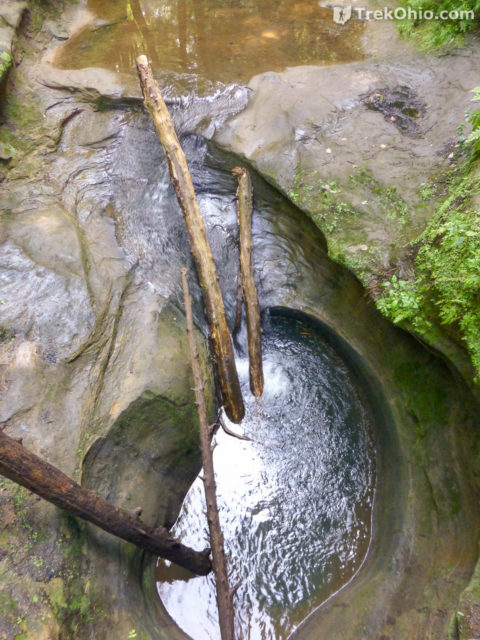
We descended farther into the gorge, past a waterfall below the Visitors Center and then back and forth across the stream via bridges.
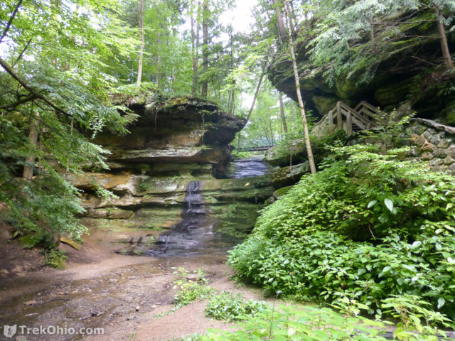
An open concrete bridge crossed the stream below the A-Frame bridge that spans the gorge. Hours later we’d return from our loop hike via this A-Frame bridge.
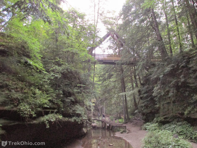
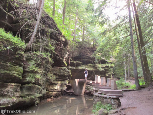
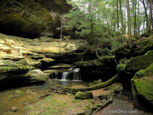
Going past a bend, Old Man’s Cave came into view on the opposite cliff face. Old Man’s Cave is a tall, but shallow recess cave.
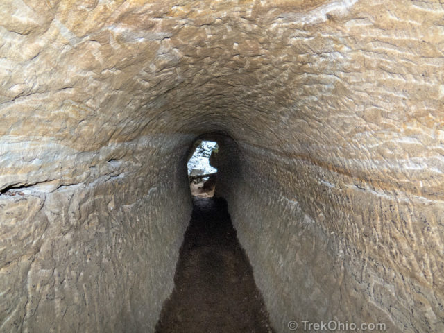
Then the path descended into a tunnel though the rock. On the opposite side, the path splits. To the right, a stone bridge crosses the stream offering a view of the Middle Falls and then leads up through Old Man’s Cave back to the visitor center. We did not cross this bridge. Instead we followed the path to the left that goes toward the Lower Falls.
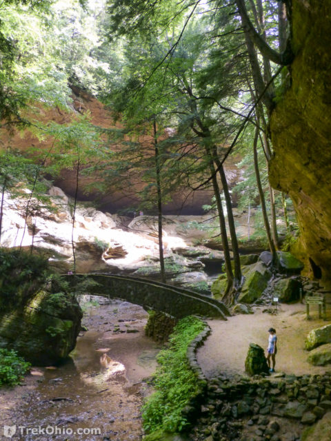
Before going to the left, we paused to look downstream at the rock formation known as the Sphinx that looks like the profile of a man’s face.
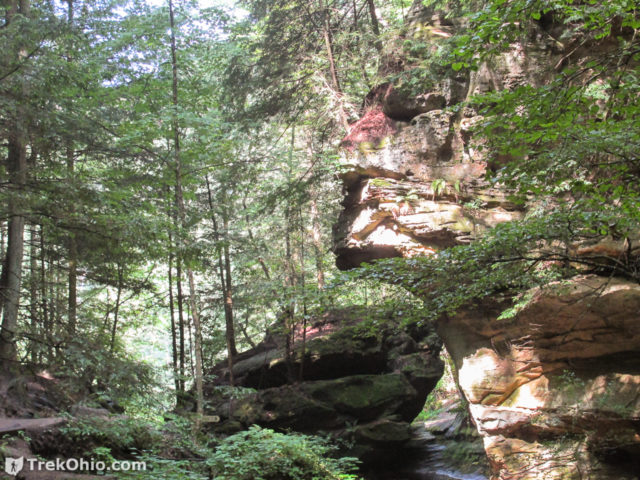
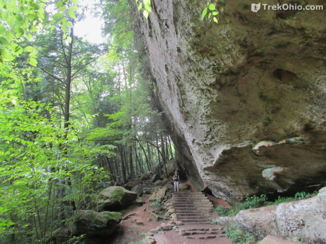
We arrived at the Lower Falls soon after passing the Sphinx. The Lower Falls is spectacular with the gorge walls soaring high above on either side. The path splits again with another stone bridge leading off to the right. We didn’t cross this bridge either in order to pursue our six-mile loop hike, but in a previous article we discuss how you can go to Broken Falls after crossing the bridge at Lower Falls.
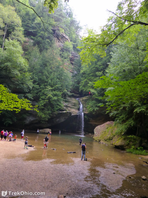
On the way to Cedar Falls the Grandma Gatewood Trail parallels Queer Creek. Bob Neinast provides a detailed explanation of the geology behind Queer Creek’s name here. The route is marked with both the standard Buckeye Trail blue blazes and wooden posts with a line of blue paint around them. There are numerous wooden and stone bridges along the trail and wooden stairs or stone steps in a few places.
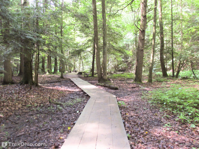
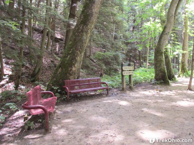
Rose Valley is the low region below Rose Lake. There is a nice boardwalk that allows hikers to pass through this relatively muddy region. However it is impossible to hike the trail without getting into mud at some point or other. A few metal benches have been placed near the half-way point. Since the valley is heavily forested and tends to be a little cooler and moister than up on the rim, resting on these benches can be quite pleasant.
Sandstone outcroppings are visible on the adjacent rim wall. Here and there, the trail skirts large slump blocks.
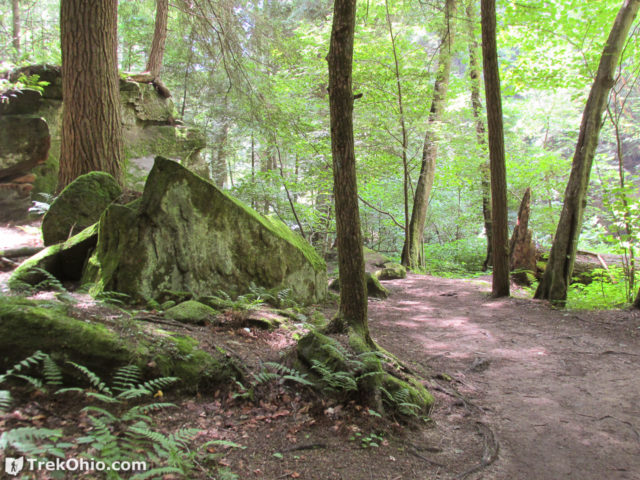
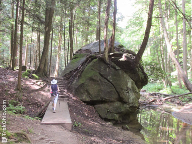
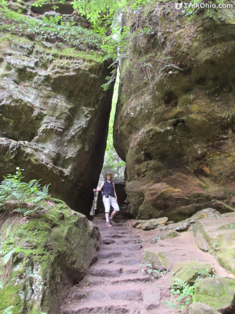
We continued our journey on the Grandma Gatewood trail. As you get closer to Cedar Falls, the path goes up and down steep hills, threading it’s way between cliffs and large slump blocks.
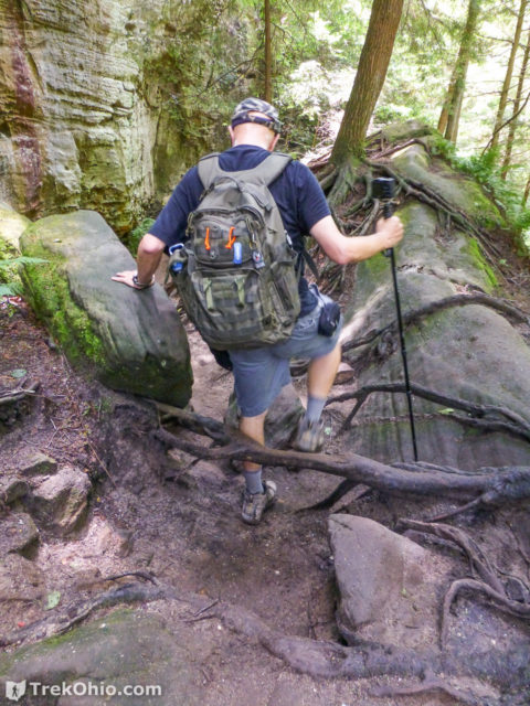
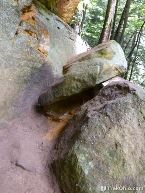
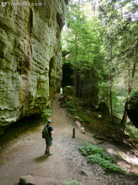
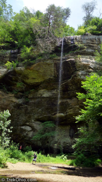
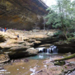
Eventually we turned a corner and saw a hundred foot high sandstone cliff. A stream of water poured off the top landing near the creek. This was “Whispering Falls”. This waterfall flows well in the spring and after long periods of rain, but tends to dry up in the late summer and fall.
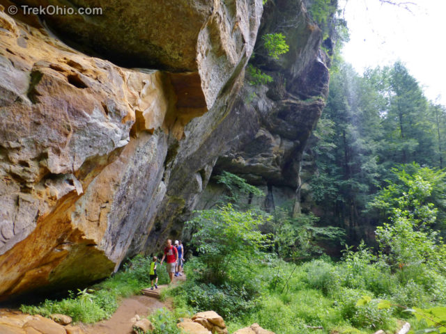
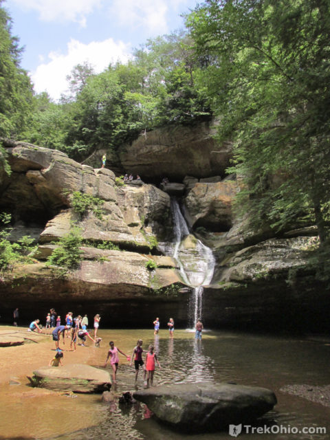
Finally we came to a metal bridge across one Queer Creek’s feeder streams. The path veered to the left. We were at Cedar Falls. Rather than immediately heading for the falls, we took the path up to the parking area. The trail forks here with one path leading upwards to the picnic area and the trailhead onward towards Ash Cave.The other path follows the feeder stream to the waterfall named Cedar Falls and then beyond to the Gorge Overlook Trail back to Old Man’s Cave. We went up the ramp to the picnic area for lunch. There we found picnic tables and restrooms.
From the picnic area, were we to continue following the Grandma Gatewood Trail, we would end up at Ash Cave. However at this point we wanted to turn around and head back toward the parking area at Old Man’s Cave. We re-traced our steps heading back down into the gorge. But instead of heading back along Queer Creek, we headed up the feeder stream towards Cedar Falls crossing several bridges across the feeder stream. Since it was mid-summer, the viewing area for the falls was filled with people.
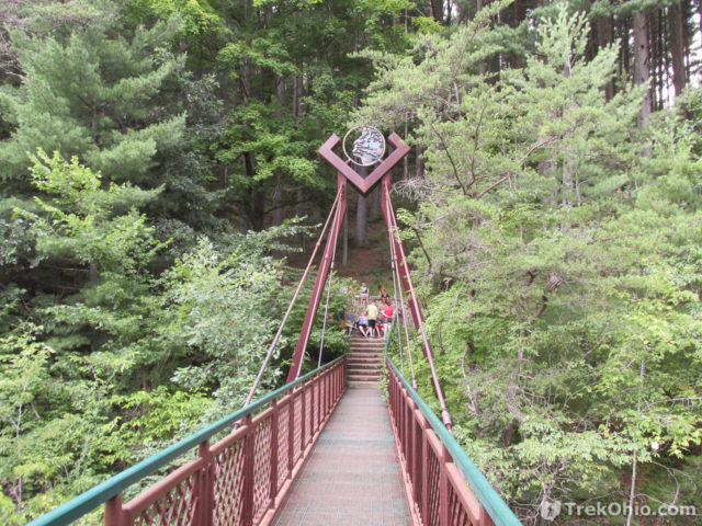
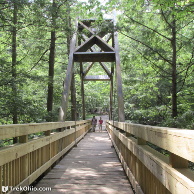
The path back to Old Mans Cave via the Gorge Overlook Trail is reached via the stairs immediately adjacent to Cedar Falls. Go up the stairs and follow the sign that directs you to the “Suspension Bridge”. We followed the path out through an open field and then crossed a latticework steel suspension bridge that spans the stream above the falls.
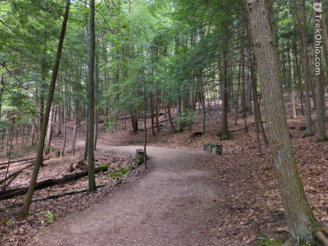
We crossed the bridge and we were now on the Gorge Overlook Trail which would return us to Old Man’s Cave. This trail is marked with red marker posts (and mysteriously in one spot a white blaze). The trail is wide and pleasant going through mixed deciduous and hemlock forest.
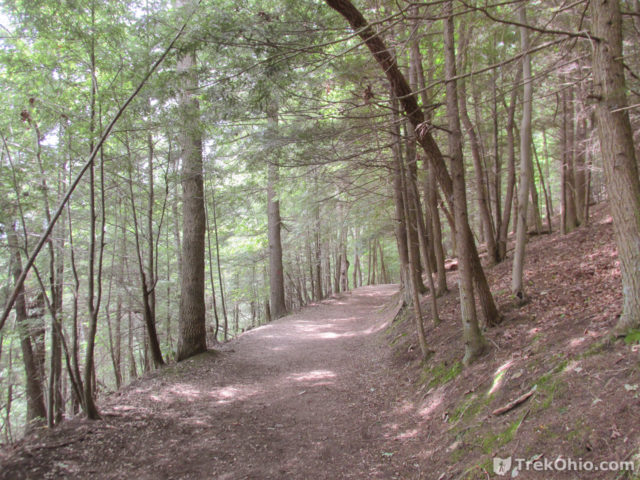
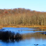
The trail follows the rim of the Queer Creek gorge. It crosses a number of small streams via stone bridges. At the half-way point, the forest opens onto Rose Lake.
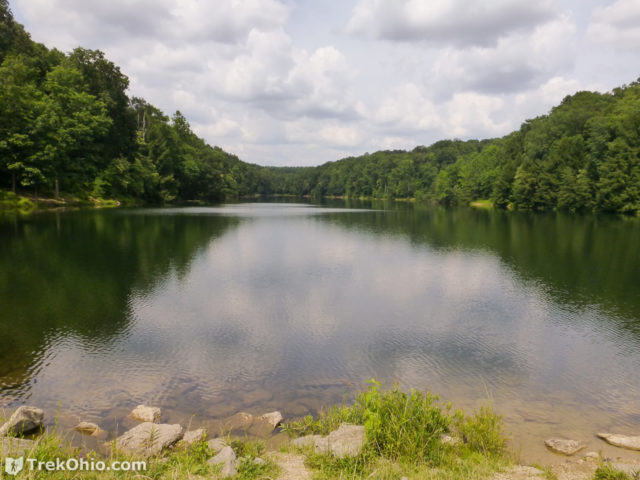
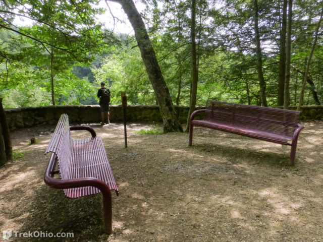
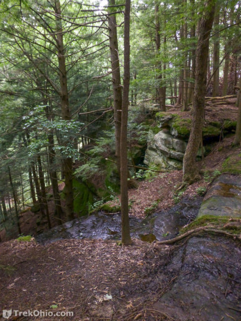
The trail crosses the lake’s earthen dam, then turns sharply left and downward. The trail continues on past an overlook with benches and finally ends up at the A-frame bridge at Old Man’s Cave. We crossed the bridge, stopped briefly at the Visitors Center gift shop and then returned to our car.
By the time we were ready to leave, it was almost dinner time, so we headed up the road to the nearby Hocking Dining Lodge for dinner. The Dining Lodge is located near the Hocking Hills State Park cottages.
Additional information
- TrekOhio: Hocking Hills State Park: Old Man’s Cave — This is our original review of this park; check out this page for general information, including the park’s location.
- TrekOhio: Hocking County Parks & Nature Preserves — This is the county where Hocking State park is located; check out this page for links to trail maps for this area, and for information on nearby parks and preserves.
- TrekOhio: The Lower Falls and Broken Rock Falls at Old Man’s Cave
- TrekOhio: Hocking Hills State Park: Cedar Falls
- TrekOhio: Hocking Hills State Park: Rose Lake
- TrekOhio: Annual Hocking Hills Winter Hike
- TrekOhio: Hocking Hills: Overview of the Hiking Trails
- TrekOhio: Hocking County Parks & Preserves
- Hocking Hills State Park Dining Lodge
More on Hocking County
Hello,
Thank you so much for this post – my family and I loved the hike. I was wondering if you would be able to tell me how you created the interactive google map for the hike? I would like to do something similar. Thanks again!
About how many hours did this hike take?
Anyone know how many stairs it is?
A lot of stairs. My GPS says the cumulative climb is 1,607 feet.
Do you know if dogs would be allowed on this 6 mile loop?
Yes, we’ve taken a dog with us many times on this trail.