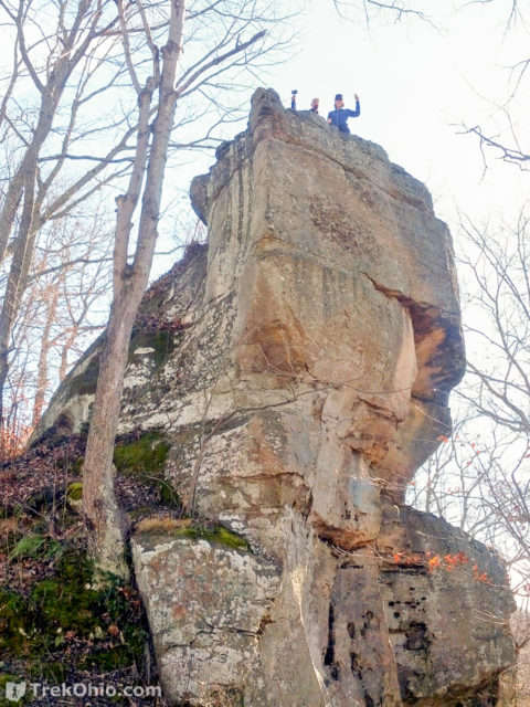
While staying at a cabin in Lake Hope State Park, we visited Lookout Rock and hiked on the nearby Moonville Rail Trail. It was the Wednesday before Thanksgiving, and the weather was sunny and cool.
Hiking the Parks & Preserves of Ohio
Fort Hill is one of our favorite places to visit. It has great hiking as well as many interesting geological, archaeological, and botanical features. It’s a bit of a drive from central Ohio, or we’d visit much more often. We visited Fort Hill twice this fall. Our most recent trip is documented in our post: “Fort Hill: Canby’s Mountain Lover Trail and Keyhole Arch”. We also visited two weeks earlier when fall foliage was near it’s peak. This post focuses mostly on our earlier trip.
We started on the Gorge Trail and then took the Deer trail back to the parking area. We scouted the two water crossings for Canby’s Mountain Lover Trail and noticed the Keyhole Arch, which we’d not seen before. We also got a better photograph of the arch near the intersection of the Deer Trail and Gorge Trail.
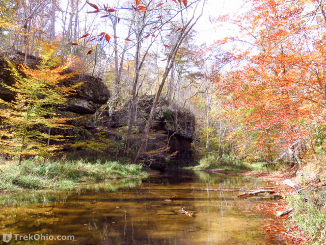
We really enjoy hiking at Fort Hill, but until recently we’ve never hiked the Canby’s Mountain Lover Trail. To access this trail, you have to wade across Baker Fork Creek. We thought that if we went toward the end of October the water might be low enough to wade across while wearing waterproof hiking boots, but we were wrong. The creek is too high for hiking boots. It’s also too cold at this time of year to just wade in and get your feet wet. We ended up returning on November 7th, each of us packing in a pair of Wellington boots, so we could cross the creek while keeping our feet dry. It was well worth the extra effort since the Canby’s Mountain Lover Trail passes right through the impressive Keyhole Arch.
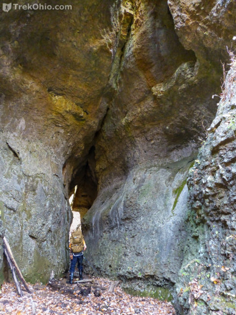
Continue reading “Fort Hill: Canby’s Mountain Lover Trail and Keyhole Arch”
This past Friday we visited Raven Rock State Nature Preserve. It was our first visit to a permit-only preserve. We’d planned a visit to Shawnee Lodge and had applied for a permit more than two weeks before our trip.
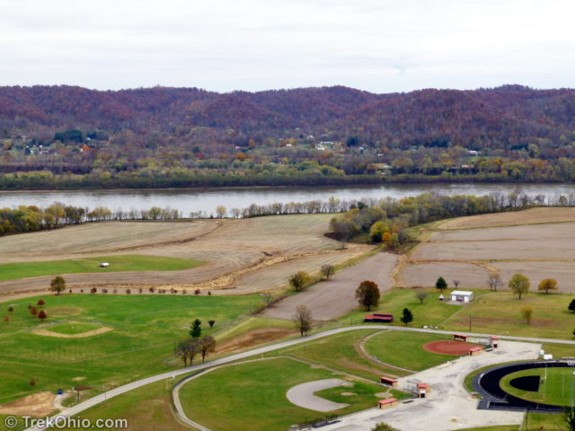
It was a cool, overcast afternoon when we parked near the trailhead for Raven Rock. There were two parking spots, one of which was already occupied. The trail is 1.25 miles (one way) and ends at a cliff 550 ft above the start with a stunning view of the Ohio River and the hills of Kentucky beyond.
On October 17th Bob and I attended our first Annual Fall Hike at Lake Hope. The staff at Lake Hope State Park, along with Friends of Lake Hope, organized the hike. Participants were subdivided into smaller groups that left the picnic area in a staggered fashion between 10 a.m. and 11 a.m. The hike from the picnic shelter to Hope Furnace was three miles and followed the Hope Furnace Trail. At the conclusion of the hike near Hope Furnace, participants had the opportunity of enjoying a communal meal of bean soup made on site accompanied by cornbread provided by the Lake Hope Dining Lodge. The organizers shuttled hikers by bus from the Hope Furnace back to the parking lot at the shelter. The annual hike is a great opportunity to hike the entire Hope Furnace Trail without having to do the return trip.
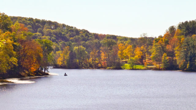
A couple of weeks ago we visited Conkle’s Hollow State Nature Preserve to view fall foliage. It was a pleasant sunny day and fall color was in its early stages. The preserve parking lot was packed to overflowing. We hiked the 2.5 mile rim trail. Its a big preserve so once we got started it wasn’t particularly crowded. Conkle’s Hollow is a nice spot for viewing fall color and the area should now be at or near peak.
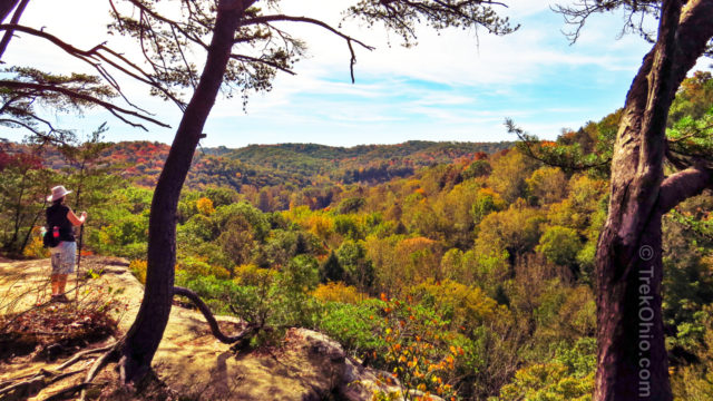
Buzzardroost Rock Trail offers a truly stunning vista perched 500 feet above the Ohio Brush Creek valley. The trail is part of the 16,000-acre Edge of Appalachia Preserve in Adams County. Located just south of Ohio SR-125, the trail stretches 2.2 miles one-way along ridgelines from the parking lot to the observation area, making for a 4.4 mile hike.
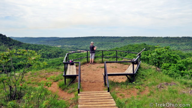
Continue reading “Edge of Appalachia: Buzzardroost Rock Trail”
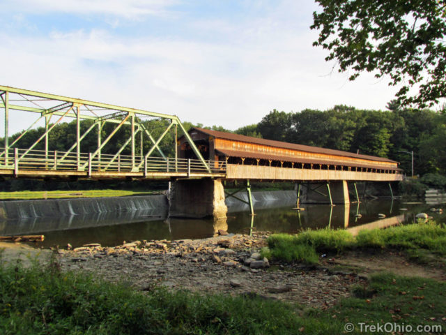
We recently visited Harpersfield Covered Bridge Metropark in Ashtabula County. The star attraction of the park is the aforementioned covered bridge. The 228 foot (69.5 m) covered bridge spans the Grand River and is the third longest covered bridge in Ohio. The bridge was built in 1868 replacing a prior bridge that was destroyed by a flood. In 1913, another flood washed away the ground on the northern side of the bridge. A 140-foot (42.7m) steel truss bridge was added on this end.
We recently made a couple of trips to Adams County. We’ve written about a few of the sites we visited and will discuss many more in the future. On our trip we briefly stopped at Sandy Springs Cemetery near the Ohio River to view native Ohio cactus.
Regular readers of TrekOhio will recall that we previously wrote about cactus at Kitty Todd Nature Preserve near Toledo. Cactus are also found in Adams County. I was about to write an article about the Adams County native cactus when I read Kyle Brooks excellent article at his Ohio Nature blog. He covers the subject thoroughly, please click on the link above to read his article.
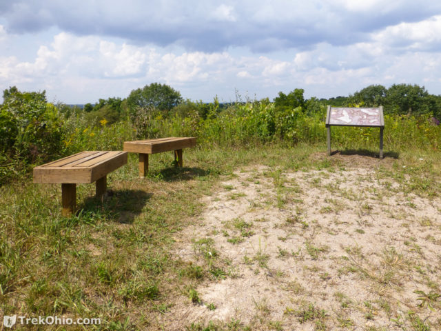
Last weekend after hiking at Wildcat Hollow, we drove over to have a look at Monroe Outlook. Monroe Outlook is a scenic overlook providing a large hill-top panoramic view of the area. The site was developed by Wayne National Forest, Ohio Dept. of Natural Resources, Little Cities of the Forest Collaboration, and Miller High School.
Continue reading “Wayne National Forest (Athens Unit): Monroe Outlook”