On our recent trip to Vinton Furnace Experimental Forest, we sought to discover if there was a path through the main trails of this state forest leading to the ruins of a 19th century iron mining and refining operations.
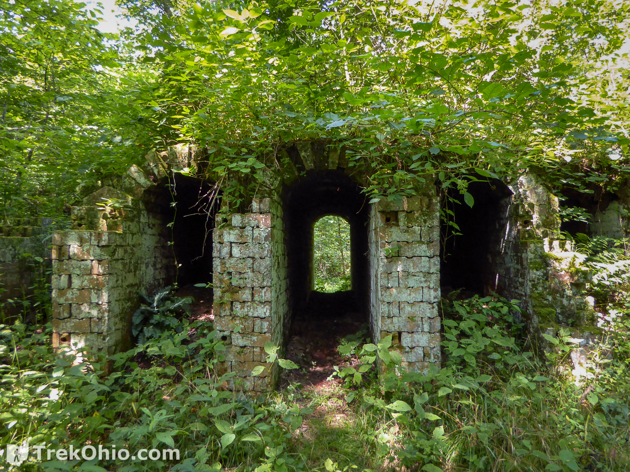
On prior trips we’ve enjoyed hiking to a variety of destinations in this off-the-beaten-track state forest. We even visited the remains of an old iron furnace and Belgian coke ovens left over from the regions 19th century iron industry. However, to visit these ruins, we drove out of the state forest, drove down another dirt forest road and then walked across a really sketchy bridge and down a short trail to the ruins (as described in a previous article, Vinton Furnace State Experimental Forest).
The main trails of the state forest leads to a small complex of wooden buildings used for forestry research. A number of trails radiate out from this central point. Our trip sought to find a hiking trail that passed through the central point and terminated at the 19th century ruins of the Belgian coke ovens. We’d tried to locate the correct path on one previous occasion and we were unsuccessful. However, our motto at TrekOhio is “We get lost so you don’t have to!”, so we decided to give it another shot.
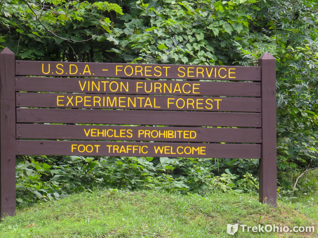
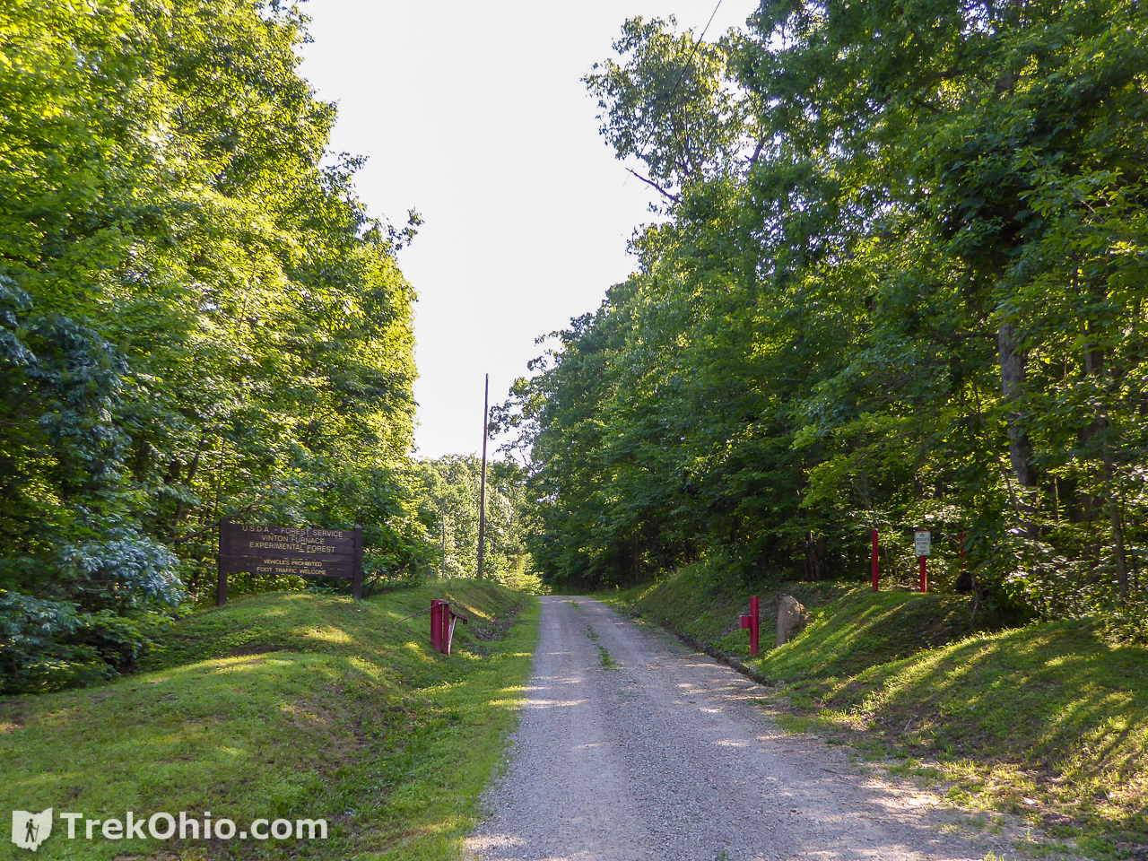
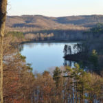
We were staying at a cabin at Lake Hope. It’s about a half-hour drive from Lake Hope to the trail-head at Vinton Furnace. The trail-head is a gravel parking area bordering a metal gate and a “foot traffic only” sign. Beyond the gate is a gravel road that leads to the small forestry research complex. The gravel road is for hikers on foot, or for official forestry research vehicles. During most of our visits, the research facility was empty giving the area a somewhat creepy, deserted, end-of-the-world vibe This time at least one person was there, verifying that the facility is actually in use.
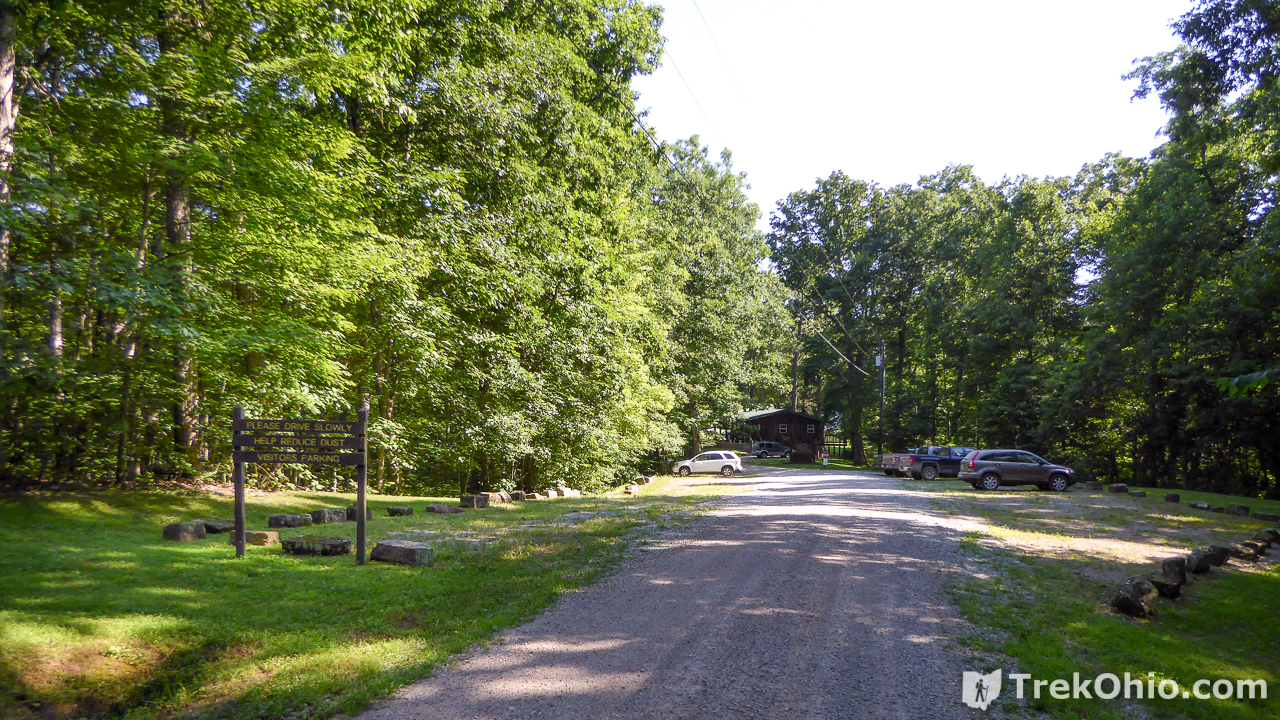

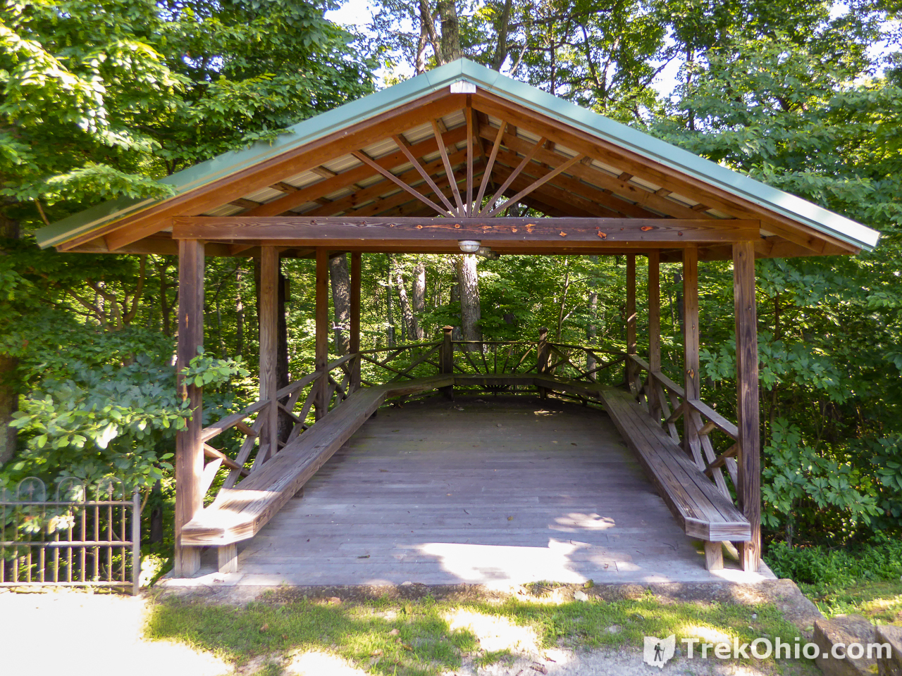
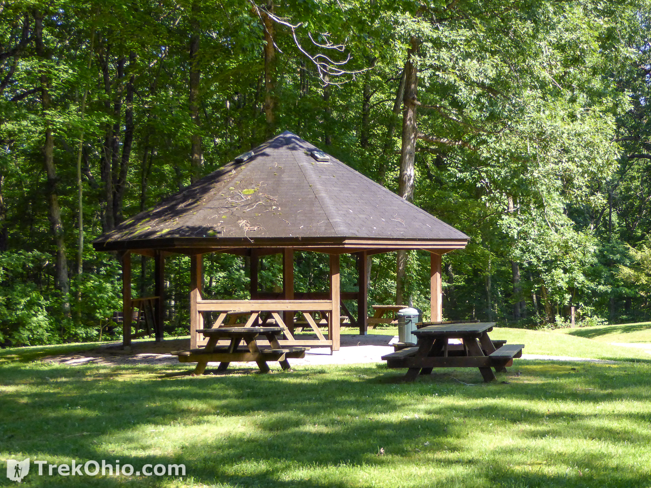
The central area is nice, featuring picnic shelters and rest-room facilities. As I mentioned, a number of paths radiate in a star pattern from the center.
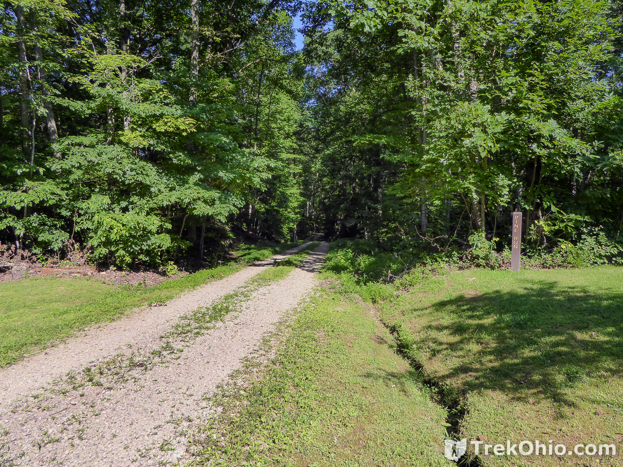
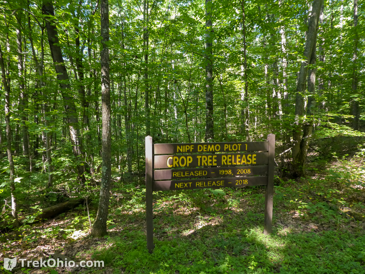
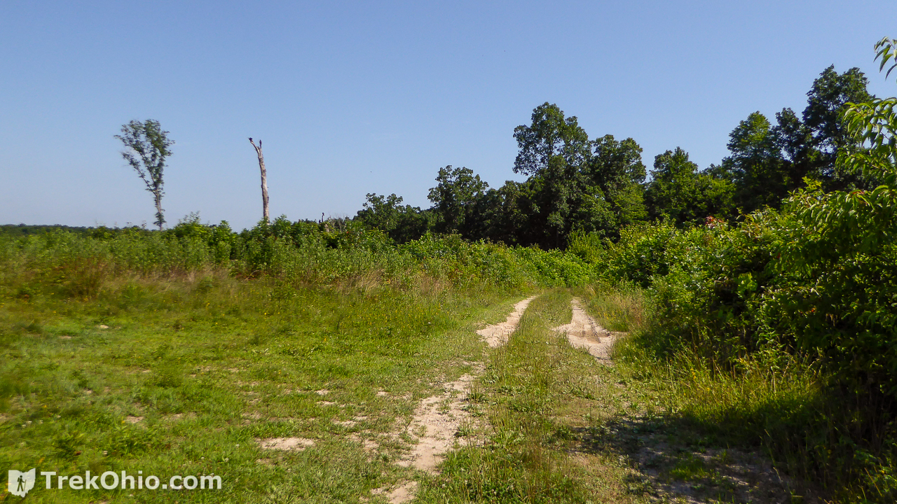
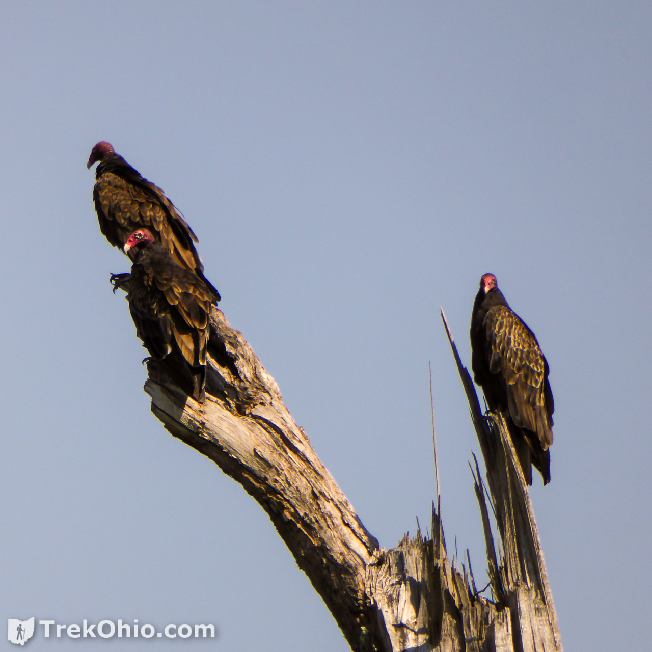
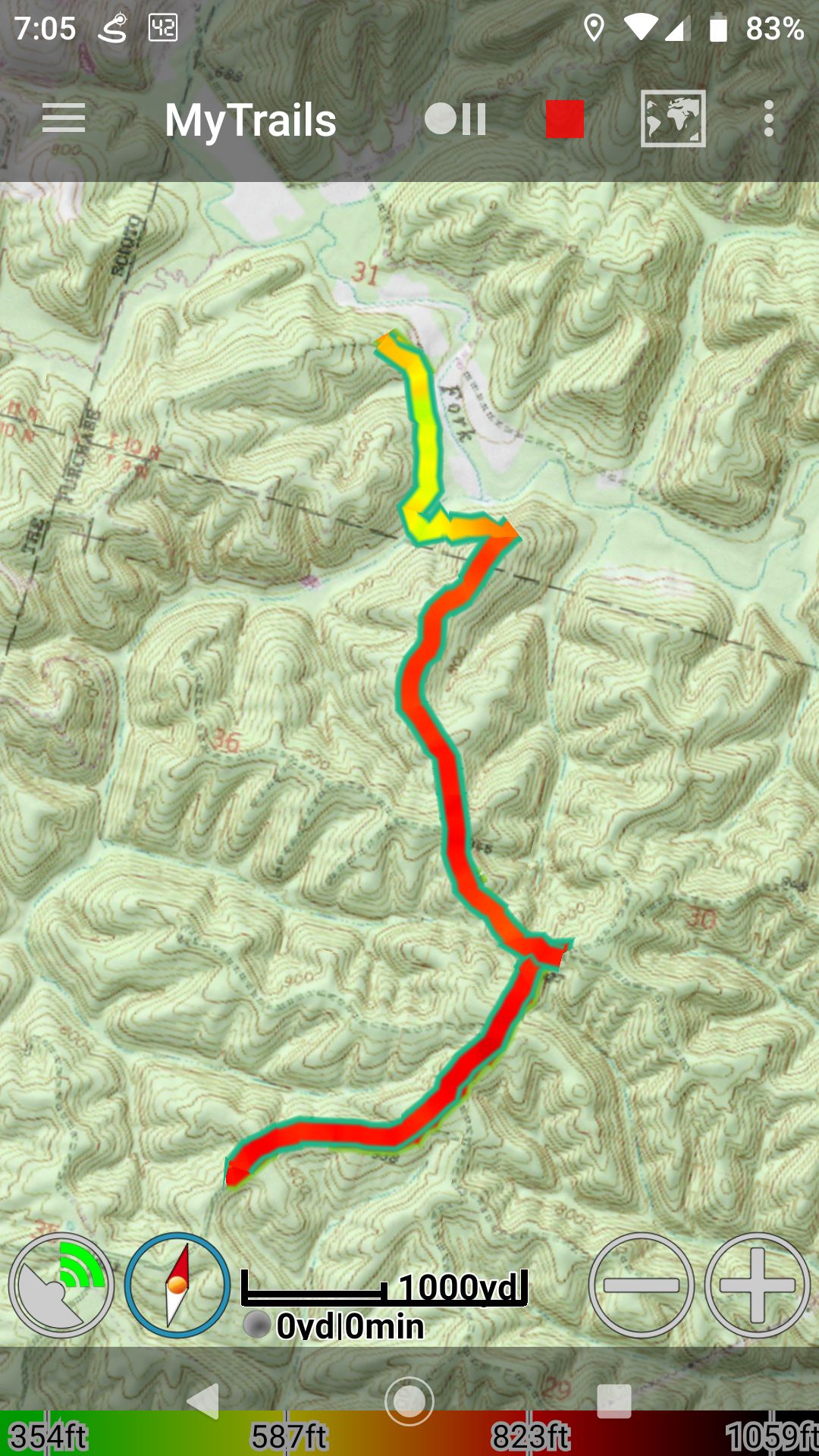
From the center, we took the Pine Run trail. The trail started as a one-lane gravel road, typical of forest roads. There were occasional signs which identified areas of the forest that were being used for experiments. The nature of the experiments were not clear, though we did not see any Jurassic-era fauna during our hike.
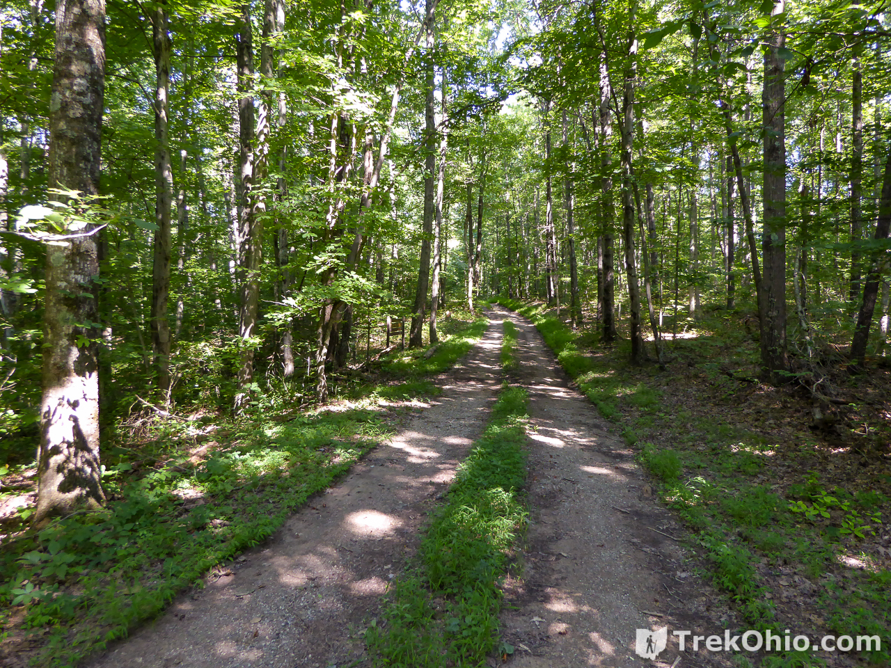
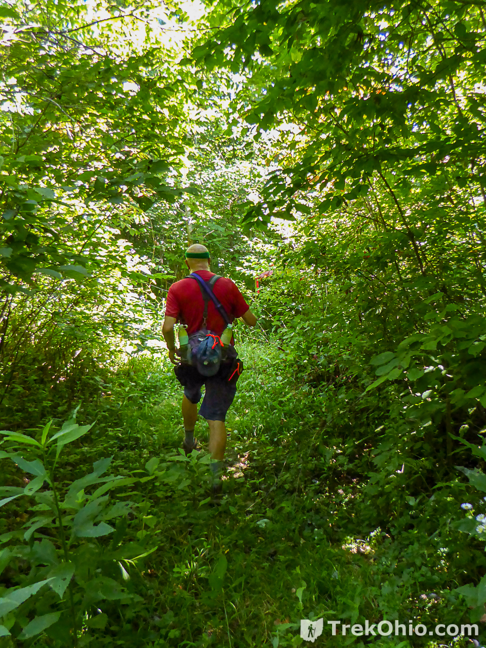
The trail passed through a clearing on a hill-top. It then headed downhill. At this point, the trail was not as wide and seemed a bit more overgrown. The trail passed over a small stream. In the distance we could see that the stream fed into Elk Fork creek. This was promising since the ruins of the coke ovens were near Elk Fork.
Finally the trail ended in a small cul-de-sac circling a grove of trees. The trail was very overgrown at this point and there were no coke ovens anywhere in sight. We had failed in our quest!
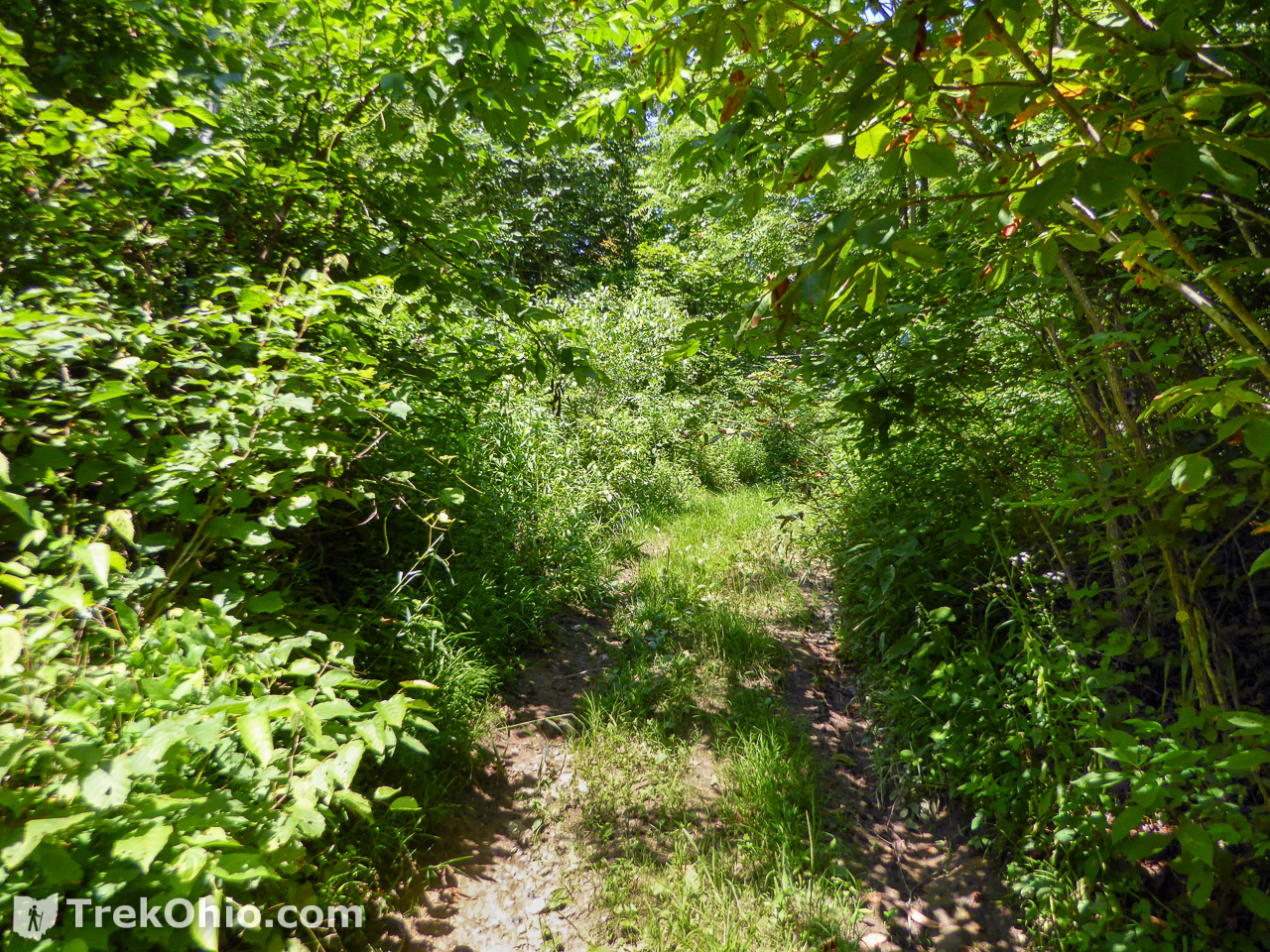
We circled the grove of trees and noticed a small trail cut into the dense underbrush on the right side of the circle. It wasn’t very wide, but it was definitely cut by people rather than being a deer track. It seemed to head in the right direction (towards the creek).

We followed this trail for a short ways and it intersected a narrow dirt road. We had a decision to make – go left or right. We debated and Deb looked at the map and chose left. The road went up hill and short ways and opened into a clearing … containing the Belgian coke ovens! Woohoo!!

We retraced our path and stopped at the central complex for a packed lunch at a picnic table. We then returned to our car and drove back to Lake Hope. The hike was roughly 3 miles one way for a round-trip total of 6 miles. The day we went it was sunny and hot (90 degrees F.). We each brought about 64 oz (1/2 gal) of water and were very glad we did. This trip would be a great autumn hike when the weeds had died back, and the weather was cooler. If you timed it just right, there might also be some fall color! However, note that hunters make use of the whole area during deer season.
Additional Information
- TrekOhio: Vinton Furnace Experimental Forest
- TrekOhio: Vinton Furnace Experimental Forest: Watch Rock
- TrekOhio: Vinton Furnace Experimental Forest: Arch Rock
- TrekOhio: Vinton County – a hiker’s paradise
- TrekOhio: Lake Hope State Park
- Trekohio: Lake Hope Dining Lodge

Location
- Parking area leading to Forest Headquarters
-
- Address: Experimental Forest Rd., Wilkesville, Ohio 45695
- Directions: From McArthur, Ohio travel south on OH-93, take OH-324 south, then get on Sam Russell Rd which will eventually turn into Experimental Forest Road and dead end near the gate with the parking area.
- GPS Coordinates: 39.191171, -82.405472
- Google Maps: View on map or get directions
 Lake Hope State Park
 Hand-feeding Hummingbirds at Lake Hope
 Zaleski State Forest: Lookout Rock
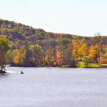 The Annual Fall Hike at Lake Hope
More on Vinton County
great blog. love it
The coke ovens should be cleared, unless vegetation is significant, and a better look taken. They are small for the industrial activity of the late 1800s maybe some metal detection equipment should be used first.